Map of Youngstown
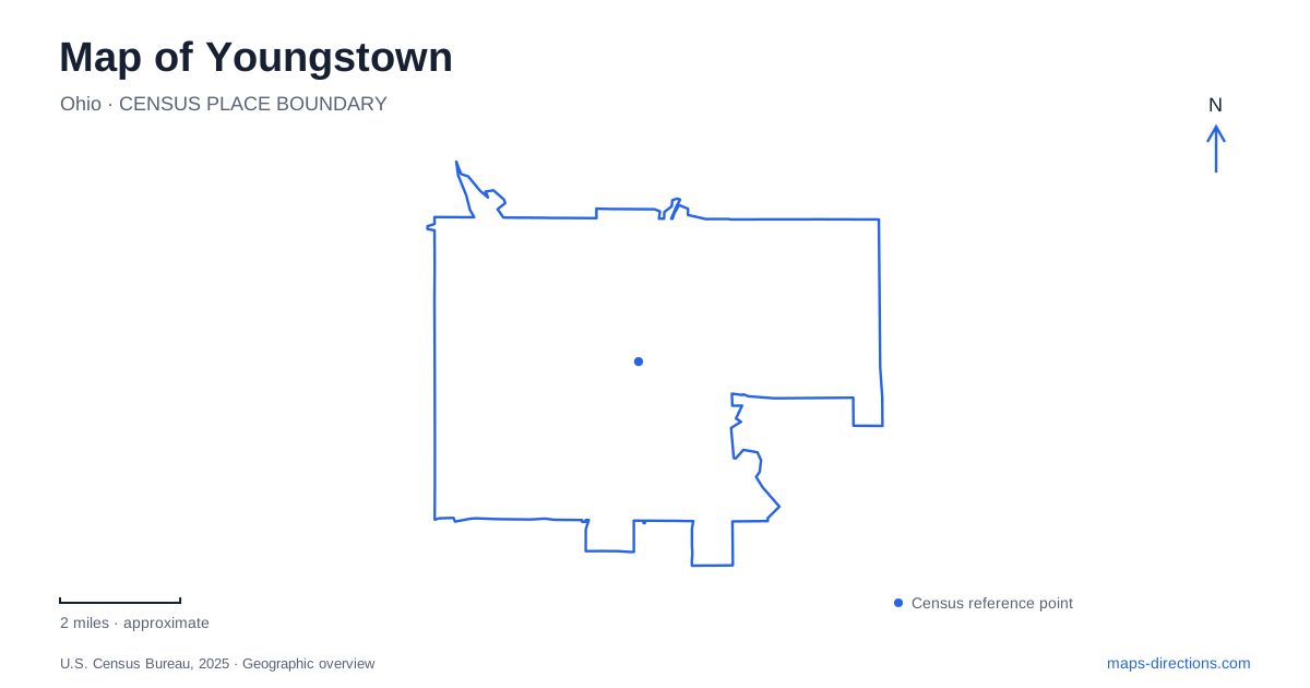
Street tiles load from OpenStreetMap when opened. The blue line shows the 2025 Census boundary.
- State
- Ohio
- Population · July 2025
- 58,832
- Land area
- 33.9 sq mi
- Water area
- 0.6 sq mi
Youngstown brings together two very different waterside landscapes: the downtown Mahoning River frontage and the wooded Mill Creek park corridor. A map that shows both reveals more than a collection of attractions. It explains why an amphitheater visit, an art museum stop, and a gorge walk belong to different parts of a day's journey. Downtown streets organize the first, Wick Avenue anchors the cultural corridor, and the creek's lakes and crossings shape the park landscape.
Riverfront lawns and downtown addresses
Wean Park occupies more than twenty acres of downtown riverfront greenspace, with walking paths and the Foundation Amphitheatre. The park's published address is 256 South Walnut Street, while the amphitheater uses 201 South Phelps Street. Those two street references describe the spread of the riverfront precinct: an event destination and its surrounding public landscape occupy a larger area than a single street corner.
The Huntington Bank Community Alley is another feature within this setting. Together, the lawns, paths, performance space, and alley give the downtown river edge several functions. On a map of Youngstown, it helps to keep South Walnut and South Phelps visible while examining the park rather than cropping tightly around the stage. That wider frame shows how the riverfront belongs to the downtown street system.
The city's attraction inventory also identifies the Robinson-Shuba Commemorative Statue. It recalls the handshake between George Shuba and Jackie Robinson, adding a specific baseball story to a landscape that might otherwise read simply as an event lawn. Downtown's public spaces therefore offer both places to gather and points of historical interpretation.
Wick Avenue and the art museum
The Butler Institute of American Art stands at 524 Wick Avenue. Its address gives the cultural corridor a clear anchor, separate from the South Phelps riverfront setting. The university campus map also identifies the Wick Avenue parking deck, placing the avenue within the geography of Youngstown State University as well as the museum district.
This is a useful part of the city to examine at street scale. An institution's broad campus label can obscure the individual street frontage of an art museum or parking structure. Keeping the Butler address and the university map together gives a more concrete picture of this area than searching for the university alone. The museum and campus are distinct destinations within a shared corridor, each with its own building layout and visitor arrangements.
The contrast with the riverfront is architectural as much as geographic. Here, the sequence is organized around buildings and an avenue; at Wean Park, open ground and the river are the dominant features. Both belong in an understanding of central Youngstown without being treated as one interchangeable downtown stop.
Gardens above the northern lake
Fellows Riverside Gardens occupies the northern end of Mill Creek Park at 123 McKinley Avenue. Its twelve acres contain display gardens, tree collections, and seasonal plantings. The D. D. and Velma Davis Education and Visitor Center provides a substantial built landmark within the grounds, while overlooks connect the garden experience to the surrounding landscape.
The park map places Lake Glacier in this northern portion, with Lake Cohasset farther along the creek corridor and Lake Newport beyond. Reading those three names in sequence is a practical way to understand the park's long shape. A garden outing near the northern lake and a visit to the wetlands at the southern end are separate parts of that landscape, not adjacent features surrounding one central parking lot.
The gardens' rolling terrain and overlooks also explain why an ordinary road map leaves out some of their character. Their appeal depends on views and changes of level as well as planting beds. The northern park offers a cultivated landscape above the creek system, while farther sections draw attention toward the water and wooded valley.
The mill, gorge, and covered bridge
Lanterman's Mill provides a different anchor for exploring Youngstown. At 1001 Canfield Road, the mill dates to 1845–46 and was restored during the 1980s. Its position beside the falls explains its original purpose: this was a working water-powered industrial site, not a building placed beside the stream for scenery.
The covered bridge crosses Mill Creek just south of the mill. Completed in 1989, it follows the style of a bridge used by nineteenth-century farmers bringing grain for grinding. Nearby, the East Gorge Walk and West Gorge Trail draw attention to the stream and sandstone walls. This compact grouping makes the relationship between water, industry, and walking routes unusually legible. The mill belongs to the creek's working history; the gorge trails reveal the terrain that supplied its setting.
Map and statistics: U.S. Census Bureau, 2025 Gazetteer, January 2025 generalized place boundaries and Vintage 2025 population estimates. Local references: Wean Park; City of Youngstown; Butler Institute of American Art; Youngstown State University; Mill Creek MetroParks. Article prepared by Maps & Directions.