Map of York
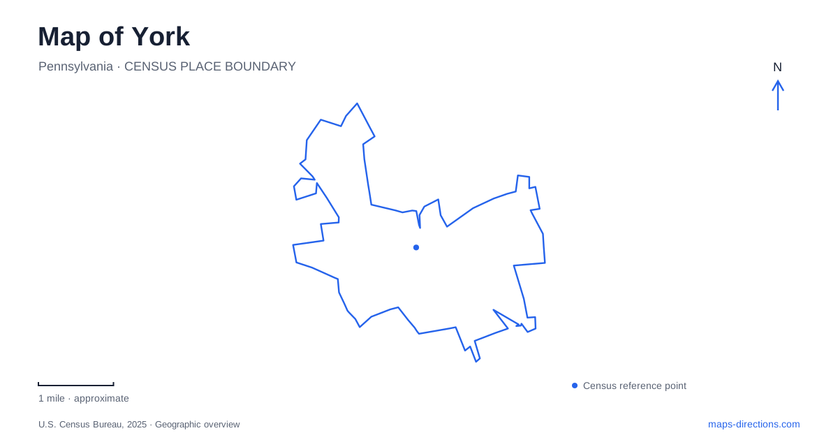
Street tiles load from OpenStreetMap when opened. The blue line shows the 2025 Census boundary.
- State
- Pennsylvania
- Population · July 2025
- 45,342
- Land area
- 5.3 sq mi
- Water area
- 0.0 sq mi
York has a downtown that rewards reading streets and waterways together. Continental Square establishes the central intersection, while Codorus Creek introduces a second organizing line through the urban landscape. Historic markets, museum buildings, and the rail trail give those lines distinct purposes. A useful map can show how commerce developed around the street grid while a transportation corridor now also supports walking and cycling. The result is a city center with several connected stories rather than one historical attraction surrounded by incidental blocks.
Market and George at the center
Continental Square occupies the intersection of Market and George streets. This is the clearest starting point for understanding the downtown grid: Market supplies the east-west reference and George the north-south one. From there, named districts describe different collections of streets and businesses, rather than separate towns.
The city's wayfinding material places the Market District along the downtown corridor extending toward North George Street. Royal Square has a particularly memorable arrangement, bounded by Princess, Duke, King, and Queen streets. Its royal street names explain the district name, while galleries and murals give the area an arts focus. West across Codorus Creek, WeCo introduces another business district, including Penn Market. These relationships make the creek useful for orientation without treating it as the edge of downtown activity.
A market building with its own corner
Central Market stands at North Beaver and Philadelphia streets. Built in 1888 to a design by John A. Dempwolf, it is a Romanesque Revival building. Its position away from Continental Square is important: the central intersection and the market hall are separate landmarks within the same downtown network.
For a visit to York, this provides a simple way to expand beyond the square. Follow the street grid toward Beaver and Philadelphia, then use the market corner to understand the surrounding commercial blocks. The building also illustrates how a place can retain a specialized public role through successive generations of businesses. Its architecture belongs to the nineteenth century, but its market function keeps the site involved in everyday exchanges rather than only commemorative history.
History collected on Pershing Avenue
The History Center Museum, Library and Archives is at 121 North Pershing Avenue. The museum moved into its new home in 2024, bringing collections together after a major relocation project. An older guide that sends visitors to a former museum building may therefore describe a real institution at an outdated location.
The new museum occupies the former steam-generating plant site, creating an especially apt setting for exhibits about industry, farming, and technological change. The building itself adds an industrial chapter to the material displayed inside. Large artifacts moved during the project included a Conestoga wagon and an ammonia compressor, demonstrating how the collection spans transportation and production. In York, the museum's current address is consequently both a practical destination and part of the interpretation: a former infrastructure property has become a place for examining how the region worked.
What survives and what was reconstructed
The Colonial Complex brings together buildings with different histories. The Golden Plough Tavern dates to 1741. The neighboring General Horatio Gates House interprets the general's stay during the winter of 1777–1778. The Barnett Bobb Log House dates to 1812 and was relocated to the complex.
The Colonial Courthouse is a reconstruction completed in 1976, not the original eighteenth-century building. That distinction matters when looking at the group on a map or in photographs. Some structures preserve early fabric in their historic setting, another was moved, and the courthouse recreates a lost building for interpretation. Together they tell a fuller story, provided those differences remain clear. Scheduled complex tours start at the History Center Museum, so the museum address also serves as the organizational starting point for this part of a York visit.
The rail corridor reaches beyond the city
The Heritage Rail Trail connects the downtown historic area with communities to the south and continues north toward John Rudy County Park. The county describes a 27-mile park stretching from the Maryland boundary through places including Glen Rock, Hanover Junction, and Seven Valleys. Beyond the state line, the route meets Maryland's Torrey C. Brown Trail.
This changes the scale of a York map. A path encountered downtown belongs to a regional corridor, not simply a short urban promenade. Railroad heritage remains tangible along the route through stations and Howard Tunnel. Active excursion trains also use adjoining tracks between New Freedom and Seven Valleys, so the trail and railway should remain distinct in trip planning. Choose a segment according to the places you want to explore, rather than assuming that every named stop falls within the downtown walking area.
Map and statistics: U.S. Census Bureau, 2025 Gazetteer, January 2025 generalized place boundaries and Vintage 2025 population estimates. Local references: City of York; Central Market York; York County History Center; York County. Article prepared by Maps & Directions.