Map of Yorba Linda
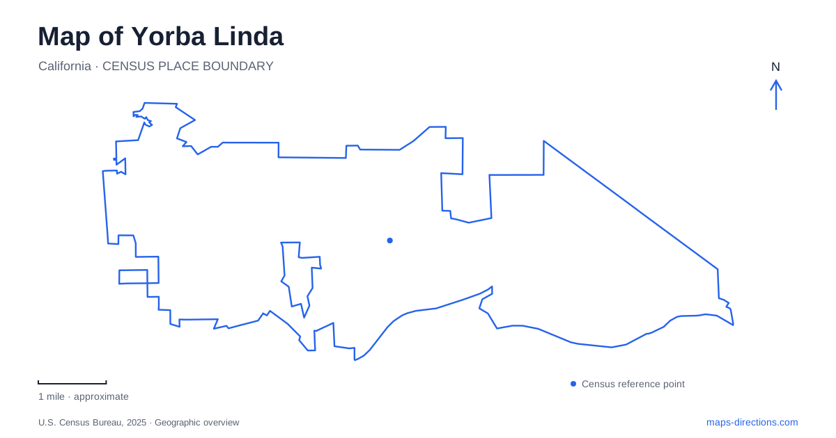
Street tiles load from OpenStreetMap when opened. The blue line shows the 2025 Census boundary.
- State
- California
- Population · July 2025
- 65,632
- Land area
- 20.0 sq mi
- Water area
- 0.0 sq mi
Yorba Linda contains several landscapes whose present appearance conceals a much larger earlier setting. A presidential birthplace survives within a museum campus, a ranch house stands among later residential development, and a historic cemetery occupies a neighborhood park. Trails connect these suburban surroundings with regional open space. A useful map reading separates the individual properties from the ranches, citrus land and transportation networks that once extended around them.
A birthplace within a presidential campus
Richard Nixon was born in January 1913 in the farmhouse his father built the previous year. Frank and Hannah Nixon operated a citrus ranch on the surrounding property. The family left for Whittier in 1922 when the ranch was no longer profitable, so the house represents a specific early period rather than the entirety of Nixon's childhood.
The presidential library and museum now incorporate that surviving building. Its gardens also contain the graves of Richard and Pat Nixon, while the galleries address the presidency, Watergate, resignation and earlier political career. These are different interpretive spaces within one destination. The farmhouse is an original local structure; the museum's recreated rooms and displays explain events that occurred elsewhere. Keeping that distinction clear makes the campus more intelligible than treating every exhibit as a remnant of the former ranch.
Bryant Ranch records another agricultural history
Eastern Yorba Linda retains the Susanna Bixby Bryant Ranch Museum and Botanic Gardens at 5700 Susanna Bryant Drive. The historical society operates the city-owned property. Its rooms interpret ranching, citrus production, irrigation, transportation and domestic life, with furnishings and artifacts that connect the building to the area's agricultural economy.
John Bixby purchased a large tract beside the Santa Ana River in 1878, and his daughter inherited the ranch after his death in 1891. The restored house is a small survivor of that much larger holding. Its museum restoration was completed in 1997 as surrounding land changed into residential development. On today's map, the property is therefore best understood as a preserved part of an earlier working landscape. The present museum grounds do not indicate the original ranch's full extent.
The botanic garden story extends to Claremont
Bryant also established a native-plant garden on 200 acres of her ranch in 1927. She worked with botanists and horticulturists to assemble and study California plants, creating an institution with a purpose distinct from commercial agriculture. Fire in 1943 and subsequent winter storms severely damaged the garden.
After her death, its leadership arranged a move to Claremont. Seeds and plants were transferred to the new site in 1951, and the institution continues there as California Botanic Garden. This history can cause confusion when reading older references to Yorba Linda. The local ranch museum preserves Bryant's home and its setting, while the botanical institution that developed from her work occupies a different city. Both places belong to the same historical story, but they are separate destinations rather than two entrances to one garden.
A cemetery within Woodgate Park
Historic Yorba Cemetery lies in Woodgate Park on land associated with Bernardo Yorba's Rancho Cañon de Santa Ana. The original grant dates to 1834. The cemetery preserves a connection to that earlier ranching society within a substantially changed suburban neighborhood.
The county manages the historic site and offers scheduled tours. Its administrative mailing address is at George Key Ranch in Placentia, which is not the cemetery's physical location. This is a particularly useful distinction for interpreting search results or an address list: the organization handling inquiries can occupy a different property from the place being visited. On the local map, Woodgate Park identifies the cemetery setting, while the separate administrative address belongs to another historic site.
Trails connect the city to larger open spaces
Yorba Linda's municipal trail system includes more than 100 miles intended for walking, cycling and equestrian connections. The network relates to Carbon Canyon Regional Park, Chino Hills State Park, the Santa Ana River Trail and nearby Yorba Regional Park. These connections extend the practical landscape beyond municipal boundaries.
The city identifies three staging areas with trailer parking. Casino Ridge and Quarter Horse provide direct routes into Chino Hills State Park, while Gun Club Road Linear Park connects indirectly. That difference matters when reading a trail map: a staging area is a particular access point, not a synonym for the entire regional park. The routes also form a different network from the streets used by motor vehicles.
The combined map of Yorba Linda shows preservation at several scales. Nixon's farmhouse survives inside a larger interpretive campus; Bryant's house records a ranch whose land was subdivided; the cemetery preserves a much older social landscape; and trails maintain connections through contemporary neighborhoods to hills and river corridors. Each place explains a different transition, giving the city a history that remains visible in the relationship between buildings, open land and boundaries.
Map and statistics: U.S. Census Bureau, 2025 Gazetteer, January 2025 generalized place boundaries and Vintage 2025 population estimates. Local references: Richard Nixon Presidential Library and Museum; Yorba Linda Historical Society; California Botanic Garden; OC Parks; City of Yorba Linda. Article prepared by Maps & Directions.