Map of Yonkers
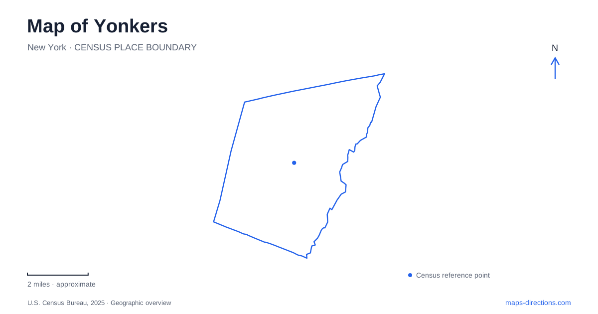
Street tiles load from OpenStreetMap when opened. The blue line shows the 2025 Census boundary.
- State
- New York
- Population · July 2025
- 212,603
- Land area
- 18.0 sq mi
- Water area
- 2.3 sq mi
A map of Yonkers reveals several different histories of water in a small stretch of the Hudson Valley. The broad Hudson forms the setting for riverfront institutions, while the much smaller Saw Mill River explains the position of the early settlement and its mills. A third water route, the Old Croton Aqueduct, now carries walkers over a buried engineering work. Reading these features together gives more meaning to the map than treating every green space or historic building as an isolated attraction.
The meeting of two rivers
The confluence of the Saw Mill and Hudson rivers was the location of Nappeckamack, a fishing village of the Weckquaesgeek Munsee Lunaape people. The freshwater tributary and the salty Hudson supported different fish, making their meeting place a useful resource long before European settlement. The tributary was known as the Nepperhan, a name that remains important in local geography.
European mills exploited the steep final descent of the smaller river. Adriaen Van Der Donck built a sawmill at its falls during the seventeenth century, giving the waterway its later English name. That relationship between water power and river shipping helps explain why the historic center of Yonkers developed here. The Hudson offered a larger transportation corridor; the tributary supplied the concentrated energy needed to process goods close to a landing.
A river brought back into downtown
The Saw Mill River disappeared beneath parts of downtown for nearly a century before a series of daylighting projects returned sections to the surface. At the former Larkin Plaza, a parking lot above the buried river became Van Der Donck Park, which opened in 2012. The change makes an otherwise hidden geographical connection visible within the built city.
Mill Street Courtyard followed in 2016. The city uncovered a 100-foot stretch of river and created nearly 20,000 square feet of public courtyard, including a bridge and public art. Another phase at New Main Street was completed in 2018. These are successive interventions along the same watercourse, rather than separate streams scattered among the blocks.
For a downtown walk in Yonkers, the exposed river sections offer a way to understand how an industrial waterway became public space. A street map shows the blocks between them, while the river's story explains their shared orientation. The parks also preserve an unusual contrast: water moving through a landscape that had previously concealed it beneath everyday urban activity.
The manor beside the mills
Philipse Manor Hall at 29 Warburton Avenue began taking shape in the 1680s. It became the center of a landed estate encompassing 52,000 acres. Its location belonged to the Lower Mills complex on the Saw Mill River; the family's Upper Mills were on the Pocantico River farther north.
The building's history includes the labor of enslaved Africans and profits from the slave trade, alongside milling, farming and shipping. Those connections are essential to understanding the house as part of an economic landscape, rather than merely an old residence. Its survival in downtown Yonkers brings the colonial waterfront into direct relationship with today's streets and restored river.
A different riverfront era at Glenview
The Hudson River Museum at 511 Warburton Avenue incorporates Glenview, a house designed by Charles W. Clinton for stockbroker John Bond Trevor. Construction began in 1876, and the family occupied it the following year. Its 37 rooms had indoor plumbing, gas lighting and a furnace system, illustrating a much later period of private wealth along the river.
The city purchased the house in 1923, and the museum moved there in 1924. Some upper rooms were altered for museum use, while first-floor woodwork, tiles and the staircase survived more intact. The period furnishings seen today are appropriate to the era but are not the original Trevor collection.
The institution extends beyond the mansion into art galleries, a planetarium and Hudson Riverama, an environmental teaching gallery. A topographical model in that gallery places natural and constructed landmarks within the larger river system. The combination is particularly relevant to a map-based visit: the waterfront becomes both the museum's setting and one of its subjects.
Following the buried aqueduct
The Old Croton Aqueduct carried water toward New York City beginning in 1842. The state later acquired 26.2 miles of its route for a linear park, running between the Bronx boundary and the Croton Dam. Its path follows the underground structure through developed places as well as quieter green stretches.
Within Yonkers, this offers a different northward perspective from the riverbank. Trail access is distributed among cross streets; the park office in Dobbs Ferry is neither its starting point nor its endpoint. Together, the aqueduct, restored tributary and Hudson shoreline show three distinct roles for water: public supply, industrial power and regional connection.
Map and statistics: U.S. Census Bureau, 2025 Gazetteer, January 2025 generalized place boundaries and Vintage 2025 population estimates. Local references: Philipse Manor Hall State Historic Site; Groundwork Hudson Valley; City of Yonkers; Hudson River Museum; New York State Parks. Article prepared by Maps & Directions.