Map of Yakima
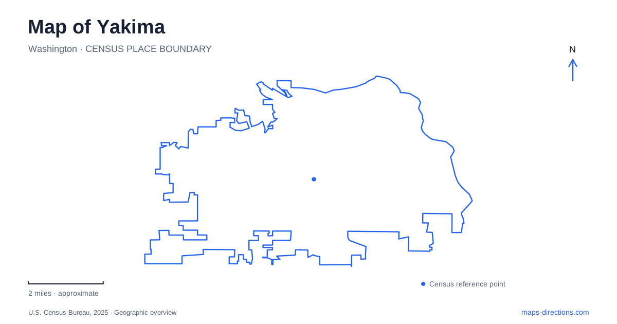
Street tiles load from OpenStreetMap when opened. The blue line shows the 2025 Census boundary.
- State
- Washington
- Population · July 2025
- 97,458
- Land area
- 28.1 sq mi
- Water area
- 0.5 sq mi
Yakima offers several landscapes within a relatively compact regional view: a downtown with historic entertainment buildings, an urban river corridor, cultivated gardens, and dry uplands cut by a creek. The most useful map keeps those settings distinct. An afternoon among museum exhibits has a different geographic focus from a bicycle ride on the Greenway or a walk beneath the cliffs of Cowiche Canyon. Choosing one of those settings first makes the surrounding roads and landmarks easier to understand.
Downtown's stages and historic gathering street
Historic North Front Street remains a recognizable downtown gathering place. Its use for the Downtown Summer Nights concert series illustrates how an older commercial street can also function as an outdoor event space. Other downtown performances take place inside buildings whose histories stretch back much further than a single concert season.
The Capitol Theatre at 19 South Third Street opened in 1920 as the Mercy Theatre. Its early programming combined vaudeville, movies, and touring productions. A major fire in 1975 devastated the interior, and the restored theater reopened in 1978. This history gives the building more significance than its position on an entertainment map: its survival reflects a sustained decision to retain a downtown cultural landmark.
The theater's public address is on Third Street, while its technical information lists the stage door on Fourth Street. That block-scale distinction is useful for separating an audience arrival from a delivery or backstage appointment. The smaller 4th Street Theatre forms part of the expanded performing-arts complex, adding another venue name to the same general area.
Tieton Drive provides a separate museum destination
The Yakima Valley Museum stands at 2105 Tieton Drive. Its collections address the natural and cultural history of south-central Washington, including the fruit industry, horse-drawn vehicles, Indigenous art and artifacts, and Supreme Court Justice William O. Douglas. The combination helps explain how agriculture, transport, and public life shaped the region.
This museum belongs to a wider valley network, but that network extends beyond the city. The Central Washington Agricultural Museum is on Main Street in Union Gap, while the Yakama Nation Cultural Center is in Toppenish. Their different locations matter when planning a history-focused day. A regional tourism list brings them together by subject; a street map reveals that visiting them involves travel between communities.
The river corridor has named sections
The Yakima Greenway is best understood as a connected system of parks, paths, and landings. Sarg Hubbard Park includes a reflection pond and playground. The Noel Path links it with Sherman Park, following the river corridor toward the arboretum area. Sherman Park also contains the fenced Norm and Nellie Byrd off-leash dog area.
Other path names identify different portions of the network. The Plath Path follows the Naches River toward the town of Naches. The Jewett Path connects Robertsons Landing with Valley Mall Boulevard and passes the ponds at Poppoff Park. These names give a planned walk or ride a defined section rather than leaving “the Greenway” as an oversized destination.
The Yakima Area Arboretum at 1401 Arboretum Drive adds cultivated collections to this outdoor setting. Its forty-six acres include display gardens, trees, and natural areas. A visit here focuses on planted landscapes and botanical observation, complementing the movement-oriented experience of the connecting paths. The same part of the map can therefore support a garden visit, a park stop, or a longer river-corridor outing.
Cowiche Canyon separates creek walking from upland terrain
Cowiche Canyon lies roughly six miles northwest of downtown. Its main trail follows a former railway for 2.9 miles and crosses Cowiche Creek nine times beneath basalt and andesite cliffs. The conservancy describes a generally level crushed-gravel route, although surfaces become rougher beyond the first three-quarters of a mile from the east end.
Trails climbing away from the creek lead to a different environment. The Uplands contain shrub-steppe and rocky ground, with uneven single-track routes and wider views toward the foothills. Scenic Drive provides an upland trailhead, while Weikel Road identifies the western canyon approach. Choosing between those starting areas changes the character of the walk considerably.
This contrast is central to reading a map of Yakima. The riverside paths organize movement through lowland parks, the arboretum concentrates attention on planted collections, and Cowiche Canyon offers both a creek-bottom route and higher terrain. Downtown's theaters and the Tieton Drive museum complete the picture with places where the region's cultural history can be explored indoors.
Map and statistics: U.S. Census Bureau, 2025 Gazetteer, January 2025 generalized place boundaries and Vintage 2025 population estimates. Local references: Yakima Valley Tourism; Capitol Theatre; Yakima Greenway Foundation; Yakima Area Arboretum; Cowiche Canyon Conservancy. Article prepared by Maps & Directions.