Map of Worcester
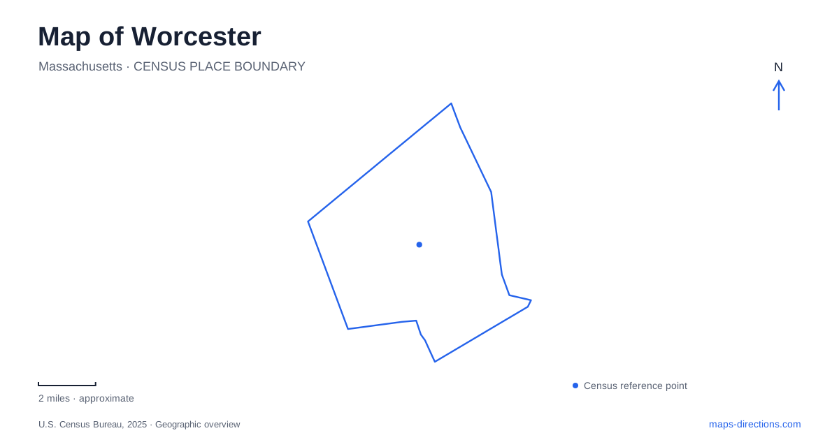
Street tiles load from OpenStreetMap when opened. The blue line shows the 2025 Census boundary.
- State
- Massachusetts
- Population · July 2025
- 213,862
- Land area
- 37.4 sq mi
- Water area
- 1.1 sq mi
Worcester's central valley and surrounding hills explain much of its street pattern and industrial history. Transportation corridors concentrated commercial activity in the lower ground, while large parks preserve wooded slopes, former estate land and deliberately landscaped ponds. The canal has largely disappeared from the visible city, but its route remains part of the explanation for the Canal District. Reading those older connections alongside today's public spaces reveals a city shaped by both engineering and terrain.
A canal route beneath the modern district
The Blackstone Canal connected the inland city with Providence from 1828 until 1848. It provided a freight route before rail transportation displaced it, with the competing railway opening in 1847. The canal's relatively short working life should not obscure its importance: it helped turn an inland agricultural settlement into a commercial and industrial center connected with a seaport.
Within the city, the canal ran from a northern turning basin through downtown and south along the line now associated with Harding Street. The Canal District's history places part of the route beneath the western corner of present-day Union Station. This is useful context for a map of Worcester because the district name does not imply a continuous open canal available to stroll beside today. The historical water route survives chiefly through the urban arrangement, records and place names.
Municipal preservation guidance describes manufacturing concentrated in the central valley near the canal and railway stations. Lincoln Square, Washington Square, Foster Street and Green Street appear in that account of industrial development. Their relationship reflects access to transport, rather than a chance clustering of businesses around unrelated roads.
Washington Square as a transport reference
Union Station stands at Washington Square, a recognizable point where the city's railway history meets its modern transport network. Its position close to the former canal route demonstrates how successive transportation systems occupied the same general part of the city. The station is a useful anchor for understanding the Canal District and downtown, even when the purpose of a visit is architectural or historical rather than a train journey.
The city's redevelopment authority manages property within the station, including its large public interior spaces. That continued civic role makes it more than a relic of industrial expansion. The surrounding streets should be read as part of an active urban district, where rail infrastructure, public buildings and reused commercial spaces coexist.
Elm Park's two landscapes
Elm Park began with a publicly funded land purchase in 1854. The original acquisition covered 27 acres, making it an early example of a city buying land specifically for a public park. Newton Hill was added in 1888, expanding the grounds with a more rustic landscape.
Park Avenue separates the more formally developed pond area from the wooded hill portions. Bridges across Lincoln Pond, walking paths and picnic space create one kind of park experience, while Newton Hill's trails and disc golf course provide another. The difference is visible on a map of Worcester: the park combines a designed civic landscape with terrain that retains a woodland character. Treating the whole site as one flat lawn misses the reason these two portions feel and function differently.
Green Hill's estate legacy
Green Hill Park developed from land held by the Green family, passing through agricultural and country-estate uses before becoming a public park. Its rolling terrain includes Millstone, Crown, Green and Chandler hills. The family enlarged and shaped the property over generations, and the city eventually acquired it after Andrew Green's death in 1903.
The present park includes a golf course, sports fields, woodland, ponds and a small farm-animal area. The Massachusetts Vietnam Veterans' Memorial occupies a place near Green Hill Pond. These uses are distributed across a large, varied landscape rather than gathered around a single recreation building. In Worcester, Green Hill provides a particularly clear example of an estate's landform and history influencing a later public park's scale and internal arrangement.
Architecture collected inside a museum
The art museum at 55 Salisbury Street contains a remarkable architectural object: a twelfth-century French chapter house. The room was acquired in 1927, transported as numbered stones and reconstructed within the museum's 1933 addition. The wing was designed around this medieval structure, which had once served a Benedictine community.
The Renaissance Court is also associated with the museum's celebrated ancient mosaics, but the large hunt mosaic entered the collection in 1936, after the court had been completed. That sequence matters because the building and its displays developed through separate decisions. Together with the parks and transport districts, the museum gives Worcester another kind of historical landscape: one assembled indoors, where an entire room from another place became part of the city's cultural geography.
Map and statistics: U.S. Census Bureau, 2025 Gazetteer, January 2025 generalized place boundaries and Vintage 2025 population estimates. Local references: National Park Service; Canal District Alliance; City of Worcester; Worcester Art Museum. Article prepared by Maps & Directions.