Map of Woonsocket
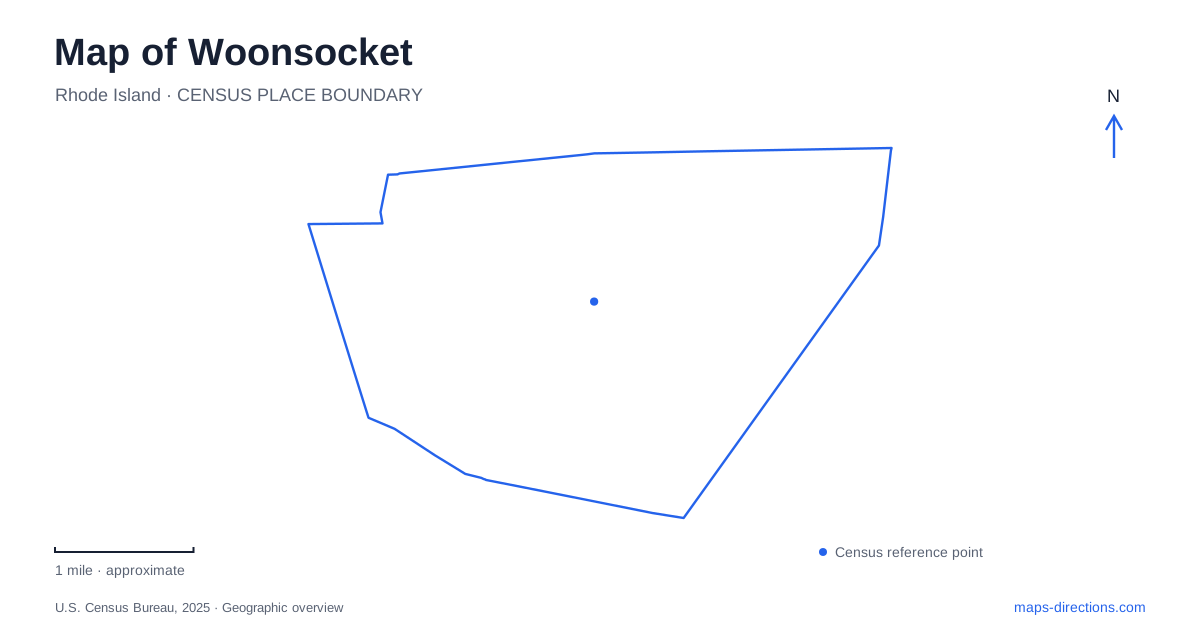
Street tiles load from OpenStreetMap when opened. The blue line shows the 2025 Census boundary.
- State
- Rhode Island
- Population · July 2025
- 44,580
- Land area
- 7.7 sq mi
- Water area
- 0.2 sq mi
Woonsocket is a city where the bends and falls of the Blackstone River explain much of the urban landscape. The river enters from the northwest and makes a broad, winding course through the western part of the city before continuing generally southeast. Industrial sites, older commercial streets, public spaces, and bicycle paths occupy different parts of that river corridor. Following its shape reveals relationships that disappear when the city is reduced to a single downtown marker.
A river powerful enough to shape a city
Thundermist Dam stands at the site of the river's largest waterfall. That concentration of falling water helps explain why this location became an industrial center: the natural drop offered a source of power before electricity could be transmitted over long distances. A sawmill was established at the falls in the late seventeenth century, and subsequent industry made the river a working landscape.
The dam also gives the waterfront a character quite different from a quiet recreational pond. The National Park Service describes how dams change river flow, sediment movement, and aquatic habitat, as well as creating hazards for people on the water. Here, the industrial landmark is simultaneously part of the city's history and an active piece of hydraulic infrastructure. A riverside view and a paddling route therefore require different readings of the same feature.
Flatlands, hills, and inherited street patterns
The historic preservation inventory identifies the Social district as the largest level area in Woonsocket. Much of the remaining city is hilly. It also records how steep slopes, rock outcrops, and swampy ground delayed development in upland areas east of Mendon Road and south of Mount St. Charles. Those physical differences help explain why settlement was uneven rather than spreading outward in a simple, uniform grid.
This is useful context for the relationship between neighborhood streets and the river corridor. The Social Flatlands offered a different setting from the uplands, while the river's bends established another set of edges and crossing points. On a detailed map, terrain and water belong alongside road names: they explain why two areas within a compact municipality can have noticeably different street arrangements.
South Main Street and the lives behind the mills
The Museum of Work & Culture at 42 South Main Street provides a human counterpart to the industrial geography of Woonsocket. Operated by the Rhode Island Historical Society, it follows French Canadian migration from Quebec farms to New England factories. Its subject is not simply machinery or the growth of production, but how working families preserved language, faith, and customs while adapting to another society.
Recreated settings include a Quebec farmhouse, a textile mill floor, a triple-decker porch, a 1920s classroom, and a union hall from the following decade. Together, they connect places that a conventional street map tends to separate: home, school, workplace, and collective organization. The museum makes the surrounding industrial city easier to interpret because it supplies the social relationships behind the buildings and addresses.
Public spaces beside different waters
River Island Art Park forms part of downtown Woonsocket's public landscape. The city identifies it as a central passive-use park, and museum programming has used its outdoor picnic area. Its role is closely connected with the cultural district: time indoors examining working life can be followed by time outside in the river setting that supported the mills.
Other recreational waters belong to different streets. The city's fishing information identifies Soucy Falls on Privilege Street, a pond location on Cumberland Hill Road, and Cass Park on Cass Avenue. These dispersed places show that the Blackstone riverfront is not the only water-related landscape within the municipality. Cass Park, in particular, has a separate neighborhood identity rather than functioning as another name for the downtown park.
A bikeway assembled in sections
The Blackstone River Bikeway approaches Woonsocket through River's Edge Park and reaches Davison Avenue. Its construction history records separate additions near Market Square and Clinton Street, and another segment linking Cold Spring Park with Meadows Park in neighboring North Smithfield. These pieces were built in different phases, which matters when interpreting a regional trail line.
The state transportation department's description includes both on-road and off-road portions of the wider route and separately documents gaps and planned connections. Use its current route map to distinguish those conditions before choosing a ride. The physical experience is closely tied to the valley: river crossings, former industrial sites, and stretches associated with the historic canal make this a route through a working landscape that has acquired a new recreational use.
Map and statistics: U.S. Census Bureau, 2025 Gazetteer, January 2025 generalized place boundaries and Vintage 2025 population estimates. Local references: Rhode Island Historical Preservation and Heritage Commission; National Park Service; City of Woonsocket; Rhode Island Department of Transportation. Article prepared by Maps & Directions.