Map of Woodstock
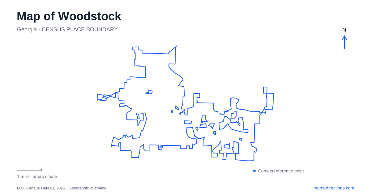
Street tiles load from OpenStreetMap when opened. The blue line shows the 2025 Census boundary.
- State
- Georgia
- Population · July 2025
- 39,895
- Land area
- 13.0 sq mi
- Water area
- 0.1 sq mi
Woodstock, Georgia has a downtown shaped by the railway and an outdoor landscape shaped by creeks, a river and former milling activity. Its historic buildings have followed different paths: a former store became a visitor center, while a farmhouse was reconstructed for a new arts use. Reading those differences alongside the trail network reveals a community whose present attractions occupy specific layers of its earlier landscape.
A town measured from the depot
The city's planning history records incorporation in December 1897 with boundaries measured from the railway depot. That detail gives the station site a significance beyond its role as a place to board trains. It was a reference point for defining the town itself. Main Street and the adjoining downtown blocks developed in relation to this rail-centered settlement.
On a map of Woodstock, the older core therefore deserves a different reading from later development along regional roads. The railway is not simply a line passing behind shops; it helps explain the location and orientation of the central district. Understanding that origin makes the smaller scale of the downtown streets more meaningful within the much larger present-day municipality.
Dean's Store and the visitor center
The visitor center occupies Dean's Store at 8588 Main Street. The tourism bureau describes the century-old store building as a place for local history and genealogical interest as well as visitor information. Its continuing public role ties a practical modern service to an older commercial address.
This is an example of reuse rather than an entirely new building carrying a historic name. The store's identity remains part of the experience even though people now enter for different reasons. Its Main Street position also makes it a useful reference for the older commercial district, where individual buildings have acquired new functions without losing all connection to their earlier place in community life.
Reeves House is a reconstruction with preserved material
The Reeves House Visual Arts Center requires a more specific description. Woodstock Arts opened it in May 2021, providing exhibition space, an education studio and a coffee shop. The current structure recreates the earlier farmhouse setting; it is not simply the original house with paintings added inside.
The organization's construction account identifies material salvaged from the old house. Wood was used in an interior sliding barn door and above the doorway to the Juanita Hughes History Room. Bricks from the former chimney were incorporated alongside fundraising bricks outside. Those details connect the new building with the earlier structure while making clear that the preservation method involved reconstruction and reuse of selected fabric.
The center stands at 734 Reeves Street. Its gallery and learning spaces belong to the present cultural campus, while the historic material and interpretation recall the farm that preceded it. Keeping both aspects visible avoids overstating how much of the old house survives intact.
Noonday Creek and the dog-park junction
Woofstock Park brings together the Noonday Creek and Towne Lake Pass trailheads. The municipal recreation department identifies it as a park for large and small dogs, but its importance on a trail map goes beyond the fenced recreation areas. It is also a junction between routes through the surrounding landscape.
The city's mapped tour of Towne Lake Pass follows Noonday Creek and describes views of the water along the route. Here the creek supplies a corridor through the developed area, creating an alternative pattern of movement to the streets. The trail names identify connected segments, while the dog park provides a recognizable meeting point between them.
Little River and the former rope mill
Olde Rope Mill Park occupies another part of Woodstock's recreation landscape, at 690 Olde Rope Mill Road north of the outlet shopping area. It overlooks Little River and includes the Taylor Randahl Memorial mountain-bike trails, hiking opportunities and places associated with paddling and fishing. The river setting gives it a different character from the downtown cultural sites.
Municipal interpretation connects the park with nineteenth-century cotton-rope production and water-powered milling. Historical markers help explain that industrial use. The place name consequently refers to more than a picturesque riverside setting: the water supplied energy for work before recreation became the park's defining activity.
Mountain-bike trails and the more passive riverfront spaces should be read separately within the same park. A visitor interested in mill history or a riverside picnic is not necessarily seeking the same route as a rider using the technical trail network. The park's own maps identify those internal differences more precisely than a single destination marker can.
A map of Woodstock brings the railway town, reused store, reconstructed farmhouse and water-based recreation corridors into one view. Each has a different relationship to the past. Recognizing those differences makes the city easier to understand without presenting every historic-looking building as original or every trail as the same kind of outing.
Map and statistics: U.S. Census Bureau, 2025 Gazetteer, January 2025 generalized place boundaries and Vintage 2025 population estimates. Local references: City of Woodstock; Visit Woodstock; Woodstock Arts; City Parks and Recreation; City GIS. Article prepared by Maps & Directions.