Map of Woodland
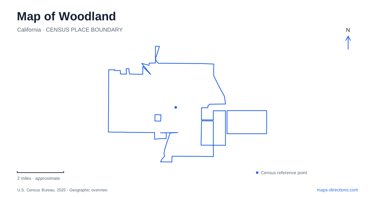
Street tiles load from OpenStreetMap when opened. The blue line shows the 2025 Census boundary.
- State
- California
- Population · July 2025
- 62,513
- Land area
- 17.1 sq mi
- Water area
- 0.0 sq mi
Woodland offers a legible historic center, but several attractions associated with the city require a wider map or a careful check of the destination's current status. Main Street and the numbered cross streets explain the downtown pattern. Interstate 5 and Highway 113 provide regional approaches, while county roads lead toward a different landscape around Cache Creek. The key is to preserve the difference between the downtown blocks, an institution's old address and a rural recreation destination that may use the city name in its mailing address.
Main and Second form a precise cultural anchor
California State Parks locates the Opera House at Main and Second Streets, with the street address 340 Second Street. This is a particularly useful downtown reference because it identifies a corner as well as a building. The theater belongs to the historic commercial center, so a visit can be understood in relation to nearby blocks rather than an isolated regional attraction.
For a Woodland theater outing, retain the building entrance and current event information alongside that corner. A state historic park designation does not mean the site functions like an open rural park with unrestricted access at any time. The operating venue determines admission and performance arrangements. The map explains how to reach the location; the ticket or operator explains which entrance and arrival requirements apply to the visit.
The downtown grid rewards close reading
The city's downtown visitor map shows Main Street alongside Court Street and Lincoln Avenue, with numbered streets crossing the area. It also identifies alleys, including Dead Cat Alley. Such details matter because a block can have a recognizable frontage and a different access arrangement behind it. A broad Main Street label cannot settle where a particular door or parking approach lies.
When combining stops in central Woodland, locate each address before choosing where the driving portion of the visit will end. This avoids treating an alley as a through route or assuming every adjacent lot serves the destination. The compact street pattern makes comparison straightforward, but the final route still needs to respect the actual entrance and signs. Use the grid to understand relationships rather than to invent shortcuts through a block.
I-5 and Highway 113 explain different arrivals
The state park's directions identify Interstate 5 as an approach from Sacramento and Highway 113 as the connection from the I-80 corridor. Both directions ultimately refer to Main Street for reaching the historic center. This is a useful regional framework: the highway chosen for the longer journey and the local street serving the final destination perform different jobs.
A Woodland address should therefore remain attached to the route after leaving the regional road. Do not stop checking once the city name appears on an exit sign. A downtown appointment, a location along East Main and a county-road destination can all be associated with the same city while requiring different final turns. Reading the approach at two scales makes that distinction apparent before the map becomes dominated by a single pin.
An old museum pin needs a current check
The California Agriculture Museum provides an example of why an institutional name and a saved street address should be checked together. Older visitor material identifies 1958 Hays Lane, while relocation announcements describe a change in the museum's relationship to that building. Consult the museum's visitor information for its admission location before planning a collection-focused trip, rather than treating directions to a former home as a confirmed drop-in destination.
This is an important difference from an ordinary wrong turn: the route may accurately reach a building that no longer serves the intended visit. Check the museum's current announcement before making plans, and do not assume an older directory entry or saved navigation result has incorporated the change. The collection's identity can remain familiar even when its public location changes.
Cache Creek names describe more than one site
Cache Creek Nature Preserve is listed by its operator at 34199 County Road 20 and contains wetlands, grassland, oak savanna and riparian habitat. Cache Creek Regional Park is a different county park with separate sites and a campground. Sharing the creek name does not make these facilities alternate entrances to one place.
When leaving Woodland for a nature outing, save the full facility name and its published road address. A preserve walk and a regional-park camping trip require different destination choices. The broad city map is useful for locating the urban starting point, but the county-road view and the operator's site map complete the plan. Keeping those layers separate produces a clearer itinerary than collecting familiar attraction names without checking where each visit actually begins.
Map and statistics: U.S. Census Bureau, 2025 Gazetteer, January 2025 generalized place boundaries and Vintage 2025 population estimates. Local references: California State Parks; City of Woodland; California Agriculture Museum; Cache Creek Conservancy; Yolo County. Article prepared by Maps & Directions.