Map of Woodbury
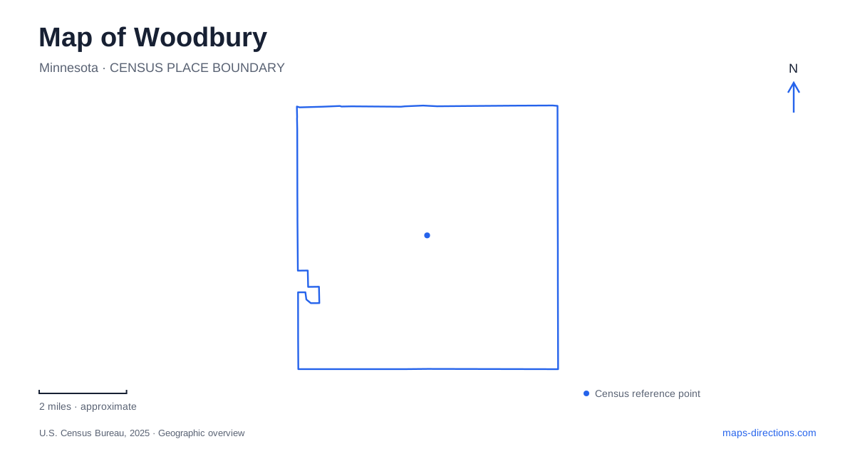
Street tiles load from OpenStreetMap when opened. The blue line shows the 2025 Census boundary.
- State
- Minnesota
- Population · July 2025
- 81,558
- Land area
- 34.9 sq mi
- Water area
- 0.8 sq mi
Woodbury's public spaces range from an indoor garden complex to a wetland preserve and a lake park with dedicated off-road cycling trails. The differences matter because the word “park” does not describe one standard kind of destination here. Radio Drive, Valley Creek Road, Woodlane Drive, and Century Avenue provide useful road references, while individual facility addresses explain where each visit begins. Reading the road network alongside the trail map reveals several distinct recreational landscapes.
Central Park is also a building destination
Central Park is at 8595 Central Park Place. The city's visitor information identifies a building and garden, Lookout Ridge Indoor Playground, and R.H. Stafford Library at this destination. The name therefore does not simply refer to an outdoor lawn or a conventional neighborhood playground. It describes a shared setting with several indoor purposes.
The published approach from Interstate 94 follows Radio Drive south across Valley Creek Road, then turns onto Central Park Place at the next signal. That sequence places the facility south of the Valley Creek crossing and gives Radio Drive a clear role as the approach corridor. It also separates the destination from City Hall, which the municipal parks map places at 8301 Valley Creek Road.
For a map of Woodbury, the two addresses are useful civic anchors. The library and indoor park complex belong to Central Park Place; City Hall and its memorial gardens belong to Valley Creek Road. They are related community destinations, but their names should not be used as substitutes for one another when arranging an appointment or visit.
A fen enclosed by neighborhoods
Tamarack Nature Preserve has its main parking area at 1825 Tower Drive. The city's description identifies a 169-acre wetland surrounded by woodland, with a groundwater-fed rich fen rather than an ordinary landscaped pond. Water from this system flows toward Battle Creek Lake and ultimately the Mississippi River, connecting the local green space with a much larger watershed.
The preserve's trail structure explains its shape. A perimeter route follows the outside, while two north–south boardwalks cross the fen. The city describes paved portions along the southern and western perimeter and more rustic paths along the northern and eastern sides. Those are meaningful differences in surface and setting, not merely different colors on a recreational map.
Woodbury's neighborhood geography is visible around the preserve as well. Evergreen lies to the north, Bielenberg Drive to the west, the Woodpark neighborhood to the south, and City Centre development to the east. The wetland is consequently embedded within the developed city rather than reached through a remote countryside approach. The Tower Drive address gives a straightforward starting point for understanding that enclosed natural landscape.
Ojibway Park and the Courtly approach
Ojibway Park is listed at 2695 Ojibway Drive. The municipal directions distinguish its main entrance from the Courtly Soccer Fields, although the fields are part of the same park. From Valley Creek Road, the described approach follows Woodlane Drive south to Courtly Road.
For the main park entrance, the route turns from Courtly Road onto Ojibway Drive. For the soccer fields, it continues along Courtly Road to its end. This is a particularly useful local distinction: one park name covers facilities reached by different final approaches. A team meeting at the fields should use the Courtly reference rather than assuming the main entrance is the intended gathering place.
The park includes a bandshell, skate park, playground, shelters, and athletic fields. Those varied functions explain the multiple access relationships. On a Woodbury recreation map, it is worth preserving the named facility within the park rather than reducing every activity to a single general marker.
Carver Lake and the trailhead below
Carver Lake Park uses 3175 Century Avenue South. The city's off-road cycling page identifies a specific starting location: the west end of the large lower parking lot. That information is more precise than the lake outline and distinguishes the cycling trailhead from other facilities around the shore.
The municipal trail map separates off-road cycling, paved paths, soft-surface sections, and stairs. It also shows the beach, picnic shelter, play area, and parking. A recreational route around the property therefore needs the appropriate trail layer; a line suitable for one activity is not automatically the same route used for another.
The city describes the cycling network as approximately five and a half miles and notes that wet or thawing conditions can close it. That condition affects the trail itself, independently of whether someone can visit another part of the park. Likewise, the existence of a mapped beach does not establish swimming availability on a particular day.
Woodbury's landscape becomes clearer through these contrasts: an indoor civic complex beside a major road corridor, boardwalks crossing a neighborhood fen, separate approaches to fields within a community park, and a lower-lot cycling trailhead beside a lake. Together they provide specific places and route relationships for exploring the city's public spaces.
Map and statistics: U.S. Census Bureau, 2025 Gazetteer, January 2025 generalized place boundaries and Vintage 2025 population estimates. Local references: City of Woodbury. Article prepared by Maps & Directions.