Map of Woburn
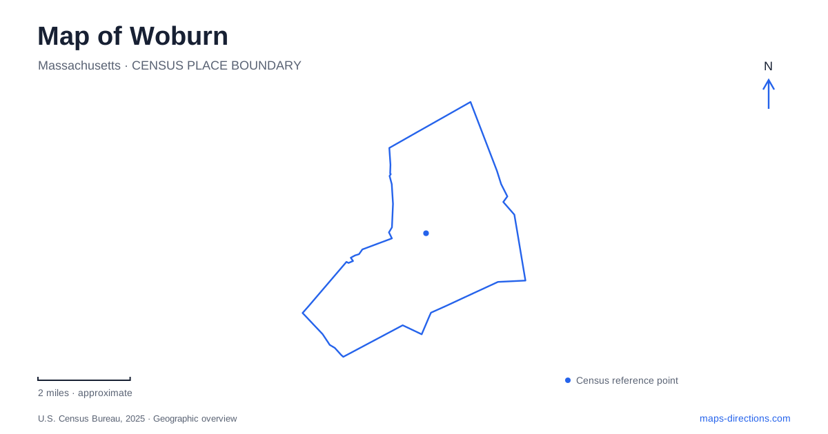
Street tiles load from OpenStreetMap when opened. The blue line shows the 2025 Census boundary.
- State
- Massachusetts
- Population · July 2025
- 43,962
- Land area
- 12.7 sq mi
- Water area
- 0.3 sq mi
Woburn has a water-shaped geography that can be easy to overlook beneath its roads and development. Horn Pond, the Aberjona valley, and remnants of the Middlesex Canal tell different parts of that story. The center occupies higher ground between hills, while former industrial sites and water-supply works belong to lower corridors and the pond's edge. A map becomes more useful when these features are read together, rather than as disconnected green and blue patches.
A center between hills and stream valleys
The Massachusetts Historical Commission describes the center as a relatively flat plateau bounded by hills to the east and west. Horn Pond Mountain, Blueberry Mountain, and Rag Rock Hill are among the prominent elevations. Their presence means that an apparently compact street map contains meaningful changes in terrain.
Drainage also distinguishes different sides of the city. The Aberjona River supported many historical waterpower sites, while Horn Pond Brook and its tributaries drain much of the western area. Montvale developed as a manufacturing center in the Aberjona valley on the eastern side. These are separate geographic relationships, even though both belong to the wider Mystic River drainage system.
For someone reading Woburn through its industrial history, that distinction is important. The city was not organized around a single mill pond or one factory district. Different watercourses supported different uses, and the higher central area occupied another part of the landscape.
Horn Pond as a destination and working landscape
Horn Pond had an economic and recreational life before modern park use. Municipal open-space records describe fishing, ice harvesting, and a hotel and tavern associated with the early nineteenth-century canal era. The Horn Pond House included entertainment facilities, while the island itself once held a bowling alley.
The city's historical account notes that the island was formerly larger. Its present outline therefore does not show the full extent of the former recreation site. Comparing the surviving island with that history changes how the pond is understood: open water once framed an active excursion destination, not simply a quiet natural foreground.
This mixture of leisure and work is one of the pond's most distinctive qualities. The shoreline has served visitors, supported resource use, and formed part of a municipal utility system. Those layers remain relevant even when a modern map emphasizes paths and conservation land.
Water lifted to the mountain
The most direct link between shoreline and upland is the historic water-supply system. Planning began in 1871, with a pumping station near Horn Pond and a reservoir on top of Horn Pond Mountain. Water drawn through a filter gallery was pumped upward, then distributed from the elevated reservoir. Public supply began in 1873.
The engineering history identifies a major 1908 improvement: a new well field along Suckers Brook and a large Platt Iron Works reciprocating steam pump. The machinery remains in the pump-station building and has undergone volunteer restoration. Its historical function explains why a substantial industrial structure belongs beside a place now strongly associated with outdoor recreation.
On a map of Woburn, the pond and mountain should therefore be read as connected components of an engineered system. The elevation difference was useful infrastructure. It provided a way to store water above the community that needed it, rather than merely creating a scenic overlook.
Tracing pieces of the canal
The Middlesex Canal opened through the area in 1803, connecting the Lowell region with Boston. Municipal open-space documentation identifies recognizable remnants between Kilby Street and Merrimack Street, along with a surviving water-bearing section near Alfred and Main Streets.
These pieces are evidence of a former transport corridor, but they should not be interpreted as an intact navigable canal or an automatically continuous walking route. Their value lies in showing where an earlier transportation system occupied the landscape. Reading the street names alongside the canal history helps connect the pond's excursion era to the movement of goods across the region.
Pleasant Street and civic architecture
The public library at 45 Pleasant Street gives Woburn another kind of landmark. Founded in 1856, the institution moved into its H. H. Richardson building in 1879. The library identifies it as Richardson's first library design and a National Historic Landmark.
A bequest from Charles Bowers Winn funded the building, carrying forward his father's support for a public library. The permanent home rose on ground that included the former Winn family property. This makes the site part of the city's civic development as well as its architectural history.
Taken alongside the waterworks and canal remnants, the library broadens a map of Woburn beyond industrial infrastructure. Pleasant Street represents investment in a shared cultural institution; the pond and valleys reveal the physical systems that sustained growth. Their proximity allows several different histories to be understood within one city landscape.
Map and statistics: U.S. Census Bureau, 2025 Gazetteer, January 2025 generalized place boundaries and Vintage 2025 population estimates. Local references: Massachusetts Historical Commission; City of Woburn; City of Woburn Engineering; Woburn Public Library. Article prepared by Maps & Directions.