Map of Wisconsin
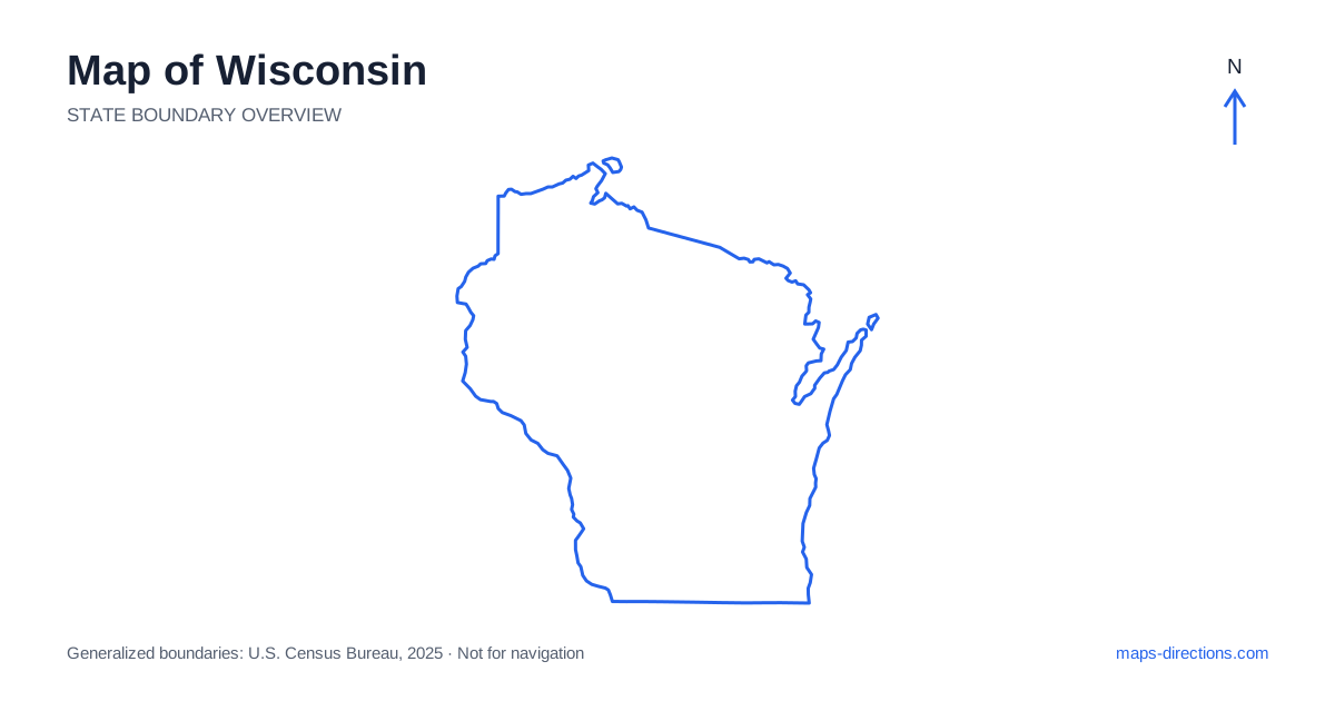
Wisconsin combines Great Lakes shorelines, a lake-filled northern interior, central river country and the bluffs of the Mississippi Valley. Milwaukee anchors the southeastern urban region, Madison sits inland as the capital, and Green Bay occupies another setting farther north. Eau Claire, La Crosse and Wausau provide useful references away from the eastern cities. A map becomes more informative when those regions are kept separate. A lakeshore destination, a central-city visit and a western river trip can all require different highway corridors and very different final approaches.
Establish the two Great Lakes settings
Lake Michigan lies along eastern Wisconsin, while Lake Superior borders part of the far north. These shores belong to separate regional travel patterns rather than one continuous local waterfront district. Milwaukee and the eastern cities are far removed from the Bayfield and Superior areas on the northern lake. A trip involving both should show the intervening inland stage clearly.
The large lakes also make straight-line comparisons misleading. A destination on the opposite shore is not reached by simply continuing across the blue area on the map. Any ferry or boat segment is a separate transport choice with its own arrangements. For a road itinerary, identify the actual shoreline town and access point, then follow the land connection that serves it rather than assuming every waterfront label represents a similar arrival.
Read Milwaukee and Green Bay as different urban anchors
Milwaukee sits on the western shore of Lake Michigan and has a metropolitan area extending well beyond its central waterfront. An airport arrival, a downtown visit and a suburban venue can require different sides of the road network. Use a precise address rather than treating the city label as one interchangeable destination for every local trip.
Green Bay lies farther north at the head of the bay bearing its name. Interstate 43 provides an important connection along the broader eastern corridor, but local destinations still require their own approaches. Door Peninsula extends northeast between Green Bay and the open lake, with towns on different shores. A stay on one side of the peninsula may be reached differently from a beach or harbor on the other, making the exact town and waterfront location important.
Place Madison and the central road junctions
Madison is the capital and occupies a setting shaped by several lakes, including Mendota and Monona. The central isthmus and surrounding urban areas have distinct approaches, so a hotel near an interstate interchange is not the same geographical choice as one near the downtown lakes. Identify the actual destination and the relevant side of the urban network before selecting the route.
The Wisconsin River runs through a broad part of the interior and is a separate feature from Madison's city lakes. Interstates 90 and 94 connect major parts of the southern and western network, sharing some corridors before separating toward different regional destinations. A river recreation stop or rural property away from these routes needs its full local approach shown. The main highway line alone cannot explain the final bank, shore or entrance.
Distinguish the Dells from the wider northern lake country
Wisconsin Dells occupies a south-central river setting and is a specific destination region, not a general name for all of the state's lakes and forests. A visit there can be connected with other southern or central stops, but a journey to northern lake country requires a separate regional transfer. A broad leisure-travel description should not obscure that geographical difference.
Farther north, towns such as Rhinelander and Minocqua orient different lake districts, while Wausau anchors another inland urban area. Lakes divide local roads into particular shores and approaches. A property near the same named waterbody as a planned activity may still be reached by a lengthy drive around an arm or inlet. Use the exact accommodation and access point before deciding how many nearby-looking stops fit into a day.
Read the western bluffs and river towns
La Crosse sits along the Mississippi River in the southwest, while Eau Claire lies farther north and inland along a different regional corridor. The Driftless landscape in the southwest contains ridges, valleys and bluffs that contrast with the idea of a uniformly flat Midwestern road grid. A route through this terrain can involve winding approaches between river towns and upland destinations.
For a cross-river journey into a neighboring state, locate the bridge first. A destination on the opposite bank may be reached from a different town than the point that appears closest on the overview. Recreation sites above a bluff can also have an approach from inland rather than directly from the river road below. A terrain view makes those relationships easier to understand before the final local route is chosen.
Build a plan around the chosen shore or corridor
An eastern-city visit, a Madison stay, a Door Peninsula trip, a northern-lakes journey and a western river itinerary each provide a coherent starting focus. Combining them creates meaningful transfers across the state. Put overnight locations into the regional sequence before adding optional stops that require repeatedly returning to a distant city or crossing the same lake district again.
For a Wisconsin itinerary, keep the specific lake shore, riverbank or metropolitan district attached to every destination. Use the state outline for broad orientation and detailed maps for the final approach. This preserves the contrast between Great Lakes cities, inland water country and western bluffs, turning the map into a practical network of connected regions rather than a list of places that only look close when the whole state fits on one screen.