Map of Winter Haven
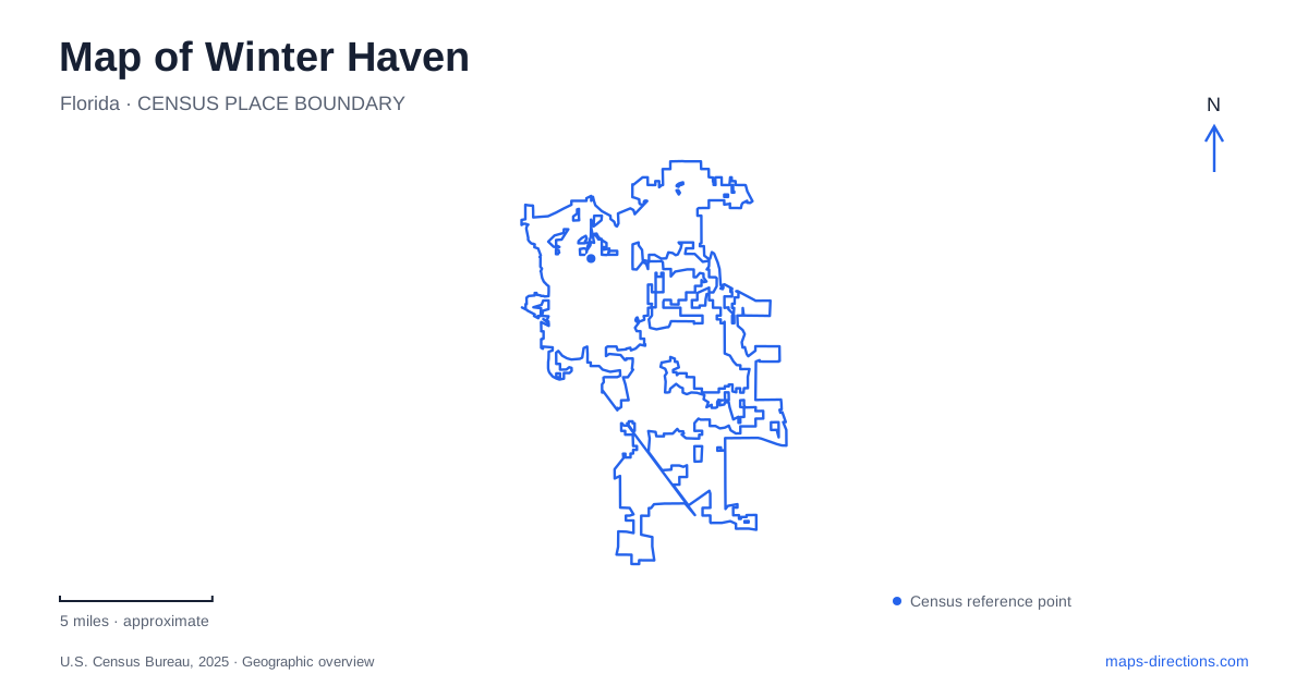
Street tiles load from OpenStreetMap when opened. The blue line shows the 2025 Census boundary.
- State
- Florida
- Population · July 2025
- 62,313
- Land area
- 33.4 sq mi
- Water area
- 8.7 sq mi
Winter Haven needs a map that distinguishes the routes between lakes from the roads around them. Water occupies much of the local landscape, but two nearby lakes are not automatically connected for navigation. The city also has a land-based Chain of Lakes Trail, downtown parks and a major resort approach on Cypress Gardens Boulevard. Similar names can conceal different travel modes, so start by deciding whether the trip is a drive, a walk, a bicycle outing or a boating plan before following any line on the screen.
Water connection does not always mean boat passage
The city's natural-resources information distinguishes the North and South chains from other public lakes that are not connected for navigation. It explains that some lakes still exchange water through hydrological connections and flowways. This is a fundamental local distinction: a water-management connection may involve a feature that does not carry boats at all.
A Winter Haven boating map should therefore be consulted for the specific chain and launch, not inferred from the appearance of blue shapes or narrow channels on a road map. The Florida Fish and Wildlife Conservation Commission identifies a lock connection between Hartridge and Conine. Such infrastructure is part of the route, not a minor detail to overlook. Confirm its relevant operating conditions before planning a journey that depends on passage between sections.
Choose the lake and the access together
The state wildlife agency names Summit, Shipp, Howard, Cannon and Hartridge among the South Chain's boat or shore access locations, and Conine, Rochelle and Haines for the North Chain. These names provide a useful starting vocabulary for reading the water landscape. They do not identify one universal ramp that serves every planned outing.
For a Winter Haven trip to the water, select the actual public access facility as well as the lake. A shoreline point may represent private property, a park or a launch with a particular approach. Keep the road destination and intended water destination together in your notes. That pairing makes it possible to check whether the chosen access serves the right part of the system before arranging a meeting or transporting equipment.
The Chain of Lakes Trail is a land route
The municipal parks department describes the Chain of Lakes Trail as the spine of its trail system. It separately identifies trails at Lake Howard and Lake Hartridge Nature Park, along with Downtown Trailhead Park. These are land-based recreational references, even though their names emphasize the lakes. A trail route and a boating route should not be substituted for one another in a search.
A walk in Winter Haven can begin at a downtown trailhead or a named lake park, depending on the intended experience. The presence of a trail near water does not establish a continuous public shoreline around that entire lake. Read the mapped path and its endpoints rather than extending it mentally along every bank. For a group outing, select the exact park or trail access where everyone will start.
Downtown and Lake Silver form another local reference
The downtown redevelopment plan identifies Dr. Martin Luther King Jr. Park at Lake Silver and associates the site with the Chain of Lakes Trail. Its local access references include US 17, First Street North and Third Street Northwest. These names help relate an urban park and its water setting to the surrounding street network without reducing the destination to a lake-center marker.
For a downtown event, retain the published event entrance or facility location. A public park may contain several gathering areas, and a waterfront label can cover more space than the activity uses. The redevelopment document explains geographic relationships, while current event information determines the appropriate arrival. Future project illustrations should not be treated as proof that a particular feature has already opened.
Cypress Gardens Boulevard identifies the resort approach
LEGOLAND Florida Resort publishes One LEGOLAND Way and identifies Cypress Gardens Boulevard, State Road 540, in its directions. The operator also gives 6000 Cypress Gardens Boulevard as an alternate navigation address. This is a separate arrival task from downtown parks or public boat access, with the resort's own parking and entrance arrangements.
The map of Winter Haven works best when these layers remain distinct: named lakes for geographic orientation, verified launches for boating, the actual land-trail network for walking and cycling, downtown streets for local stops, and the resort's published approach for a theme-park visit. Build the itinerary from those destinations before comparing routes. The result explains the city's watery landscape without assuming that every channel is navigable, every bank is public or every attraction shares one entrance.
Map and statistics: U.S. Census Bureau, 2025 Gazetteer, January 2025 generalized place boundaries and Vintage 2025 population estimates. Local references: City of Winter Haven; Florida Fish and Wildlife Conservation Commission; LEGOLAND Florida Resort. Article prepared by Maps & Directions.