Map of Winter Garden
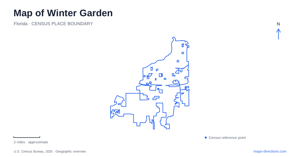
Street tiles load from OpenStreetMap when opened. The blue line shows the 2025 Census boundary.
- State
- Florida
- Population · July 2025
- 48,063
- Land area
- 16.5 sq mi
- Water area
- 1.6 sq mi
Winter Garden's downtown map has an unusual organizing feature: the West Orange Trail runs through the middle of Plant Street. That puts a regional recreation route directly into the setting of shops, civic landmarks and historic attractions. It also means a visitor must distinguish the trail from the adjacent vehicle lanes and the sidewalks serving individual buildings. Begin with Plant Street as a reference, then decide whether your destination is a downtown doorway, a trailhead or the shore of Lake Apopka.
Plant Street is both a destination and a corridor
The city's downtown visitor information identifies the trail in the center of the two-lane street. This arrangement helps explain why a cycling map and a downtown walking map may highlight the same corridor for different reasons. A restaurant visit needs a specific building entrance; a longer ride needs the route's continuation beyond the central blocks. A dropped pin in the street median answers neither question particularly well without more detail.
Use named landmarks to narrow the downtown area. The city pocket guide identifies Plant Street Market, Garden Theatre, Centennial Plaza and the Central Florida Railroad Museum, among other attractions. They provide several potential meeting points rather than one universal downtown destination. If companions are arriving separately, choose the same landmark and specify its entrance. A familiar street name alone can still leave people looking for each other in different parts of the commercial core.
Trail stations are not passenger train stops
Winter Garden Station is a trailhead at 455 East Plant Street. The city guide also identifies Chapin Station at 501 Crown Point Cross Road and Killarney Station at 17914 State Road 438. These station names belong to the recreational trail network. Do not interpret them as proof of a present-day passenger rail service, particularly when a map also labels railroad museums and historic attractions nearby.
The station addresses allow you to separate the place where you park from the stretch of trail you want to explore. For example, choosing the East Plant Street trailhead is a different starting-point decision from choosing Chapin Station. A map showing the entire West Orange Trail will help place both within the regional route; a closer view will show the particular entrance and surrounding streets. Keep both views if you intend to return to the same starting point.
Lake Apopka requires its own destination pin
The waterfront is a separate part of a Winter Garden visit. Newton Park occupies the Lake Apopka shore, and the city lists its address as 31 West Garden Avenue. Its listed facilities include a boat ramp, picnic areas and a playground. Enter the park name or street address when heading there rather than treating a downtown search result as a lake-access point.
Water on a regional map is an orientation feature, not a promise that every adjoining street reaches a public shoreline. Newton Park gives you a named public destination with a defined facility listing. The boat ramp also serves a different purpose from a casual picnic destination. Check the park's current arrangements for your intended activity before setting off; the geographic relationship between downtown and the lake does not establish whether a particular facility is available that day.
The trail carries you beyond the city name
A Winter Garden map can show only part of the West Orange Trail's context. The official pocket guide includes Oakland Outpost on North Tubb Street, Tildenville Outpost on Tildenville School Road and additional stations toward Apopka. Their distinct names are helpful when comparing routes because the same regional trail passes through several communities and destination clusters.
For an out-and-back ride, record the starting station rather than saving only the town name. For a one-way journey, mark both ends and resolve the return trip separately. The trail's presence is not a statement about a shuttle service, a train connection or the availability of rentals at your chosen time. Reading the named stations as fixed geographic references keeps those separate travel questions visible.
Read planning lines with care
Winter Garden's neighborhood planning documents discuss stronger walking and cycling connections between the eastern neighborhoods and the historic downtown district. Their recommendations include connections involving Center Street, Plant Street and other local streets. A proposed line in such a plan describes an intended improvement, not necessarily a completed path. For an actual journey, use an existing-route map and inspect the junction where the proposed connection would meet it. Plant Street's established trail role, the named stations and Newton Park's waterfront address give you reliable orientation without treating every future planning proposal as a route already available.
Map and statistics: U.S. Census Bureau, 2025 Gazetteer, January 2025 generalized place boundaries and Vintage 2025 population estimates. Local references: Downtown Winter Garden; City of Winter Garden. Article prepared by Maps & Directions.