Map of Winston-Salem
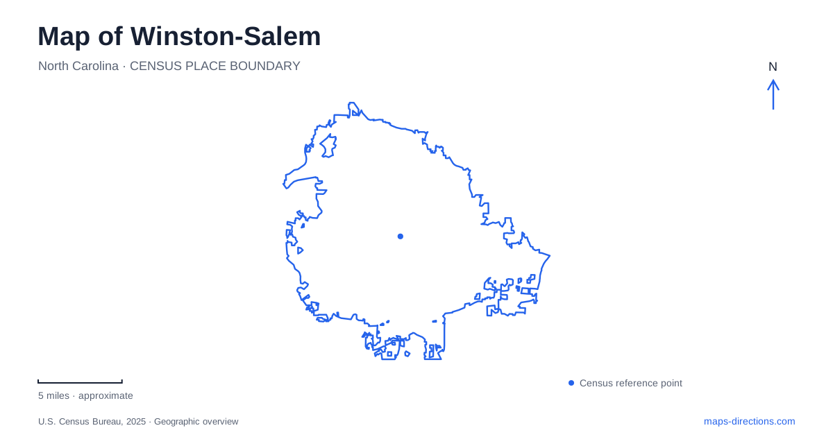
Street tiles load from OpenStreetMap when opened. The blue line shows the 2025 Census boundary.
- State
- North Carolina
- Population · July 2025
- 257,271
- Land area
- 133.7 sq mi
- Water area
- 1.2 sq mi
Winston-Salem can be read through several landscapes that preserve different chapters of its history. Old Salem retains the street setting of a Moravian town. The Innovation Quarter reuses tobacco-industry buildings and infrastructure. Reynolda combines a country house, gardens and former estate village, while Salem Lake provides a recreational loop connected to a creek greenway. These places give a city map more meaning than a list of attractions: each has a distinct layout, scale and relationship to the surrounding streets.
The historic town around South Main Street
Salem was established in 1766 as the religious, administrative and commercial center of the Moravian Wachovia tract. Its history includes the work of enslaved and free people of African descent, whose labor helped build the town. Preserved architecture here therefore carries a complicated social history as well as the familiar story of early crafts and settlement.
For visitors to this part of Winston-Salem, the Old Salem Visitor Center is at 900 Old Salem Road. The Heritage Bridge connects it to the historic district. Although its timber design evokes older covered bridges, the structure was built in 1999; it is a modern gateway into the historic streets, rather than an eighteenth-century survivor.
South Main Street provides another clear reference. At its southern end, the Frank L. Horton Museum Center houses the Museum of Early Southern Decorative Arts. The building at 924 South Main began as a grocery store before extensive adaptation, an unexpected example of reuse within a district usually associated with much earlier architecture. The map's museum label thus conceals a building history quite different from the historic houses nearby.
St. Philips and the African Moravian story
St. Philips African Moravian Church stands at 911 South Church Street. Built in 1861 and expanded in 1890, the brick church is the oldest surviving African American church building in North Carolina. On May 21, 1865, a Union cavalry chaplain announced freedom to the enslaved community from its pulpit.
The congregation left the building in 1952, and it was later restored for interpretation. Placing South Church Street alongside South Main on a map helps connect this history with the wider town instead of treating it as a detached stop. The church, burial grounds and other historic buildings represent overlapping religious, residential and working landscapes, not simply a collection of decorative facades.
Tobacco infrastructure becomes public space
The Innovation Quarter offers a sharply different view of Winston-Salem. Bailey Power Plant once supplied coal-fired power to surrounding tobacco warehouses. After a long period of disuse, it reopened in 2018 with office, retail and gathering spaces. Its scale and industrial structure remain part of the district's visual character even though its daily purpose has changed.
Behind the plant, the former Coalpit has become a community gathering area. A reused railway structure provides a pedestrian connection from 4th Street to the Coalpit and power plant block. This is a particularly useful feature to notice on a detailed map: a line originally built to move industrial materials now helps people move through a mixed-use neighborhood. The district's streets, large buildings and elevated connection explain its origins more directly than its newer business names do.
The estate on Reynolda Road
Reynolda's house, gardens and village form another substantial cultural landscape in Winston-Salem. The Reynolds family moved into the residence in December 1917, but the village was already home to farm supervisors, workers and their families. Most village buildings date from 1912–1917 and once supported a much larger working estate.
Former uses included dairy barns, a blacksmith shop, a school, a post office and cottages. Shops, restaurants and offices now occupy the conserved buildings. The village's clustered arrangement makes sense when understood as an estate service community, while the house and formal gardens occupy their own parts of the designed landscape.
The garden placement was deliberate. Katharine Reynolds put the formal gardens near the greenhouse and a public road, giving them a different relationship to visitors than gardens hidden behind a private residence. Access in the estate's early years nevertheless reflected racial segregation. Reading the landscape requires both its design story and that limit on its historical openness.
A complete circuit at Salem Lake
Salem Lake Trail gives Winston-Salem a seven-mile loop with connections at Salem Lake Road, Linville Road and the Salem Creek Greenway. The main and Point parking areas, marina and nearby recreation facilities use the address 815 Salem Lake Road. Mile markers increase counterclockwise from the Point parking lot.
The trail is mostly dirt with some paved sections and is used by walkers, runners, cyclists and equestrians. A map can show the full circuit clearly, but a visit can also use a shorter out-and-back segment from either access area. The greenway connection extends the route beyond the lakeshore, making the lake both a destination in its own right and a junction within a larger outdoor network.
Map and statistics: U.S. Census Bureau, 2025 Gazetteer, January 2025 generalized place boundaries and Vintage 2025 population estimates. Local references: Old Salem Museums & Gardens; Innovation Quarter; Reynolda; City of Winston-Salem; Museum of Early Southern Decorative Arts. Article prepared by Maps & Directions.