Map of Windsor
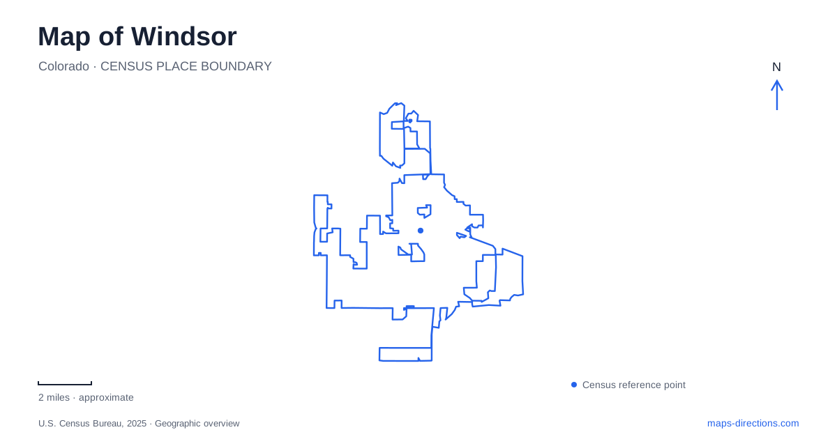
Street tiles load from OpenStreetMap when opened. The blue line shows the 2025 Census boundary.
- State
- Colorado
- Population · July 2025
- 43,840
- Land area
- 26.3 sq mi
- Water area
- 1.2 sq mi
Windsor sits within northern Colorado's agricultural and transportation landscape, with a downtown lakefront and a separate river corridor offering two useful reference points. Boardwalk Park brings historic buildings together beside the lake, while the Cache la Poudre River winds through another part of town. Sugar processing, rail travel, and changing uses of public buildings give these places a shared history without making them interchangeable destinations.
A stopping place between larger settlements
The town's historical account describes an early stopping place midway between Greeley and Fort Collins. In 1873, J. L. Hilton built a house along the Overland Trail wagon road. The railroad connecting those two established communities arrived in 1882, and municipal incorporation followed in 1890.
This sequence explains why a map of Windsor is more revealing when read as part of a regional corridor. The settlement grew through connections to surrounding communities and farmland. Its importance did not depend on being an isolated frontier endpoint; it occupied a useful place between other destinations.
The history also extends much farther back. Municipal preservation records identify the Kaplan-Hoover site, also called Bison Arroyo, in the Poudre River Trail corridor. Its archaeological importance adds a deeper layer to the landscape than the wagon road or railway. A designated archaeological site should be understood as protected evidence of earlier land use, rather than assumed to be an open excavation available for casual exploration.
Historic buildings gathered beside the lake
Boardwalk Park's museum setting requires a particular kind of map reading. The depot was moved out of the railroad corridor after residents worked to save it from demolition. It opened as a restored museum in its new lakeside setting in 1976. Its current location therefore records a preservation decision, not the exact original arrangement of the railway town.
Other historic structures were also brought to the park. The municipal preservation plan identifies a schoolhouse, farmhouse, prayer meeting house, and a small dwelling associated with sugar-beet labor. Together they interpret different aspects of community life, including the experiences of Germans from Russia and agricultural workers.
For visitors to Windsor, the distinction is useful. The park is a concentrated collection of surviving buildings from the surrounding area. Walking between them creates a convenient historical introduction, but their proximity today should not be taken as proof that all of their original occupants were immediate neighbors.
A lake circuit with a changing cultural layer
Boardwalk Park also serves as a recreational gateway to Windsor Lake. The Dr. Jones Trail circles the water, linking the park with other parts of the shoreline. The town's public-art program introduced a sculpture-loan project along the route in 2025, initially placing works between the park and the northwestern corner of the lake.
Because the sculptures rotate, the route is a more durable reference than a promise that a particular artwork will always occupy one spot. The path connects a historic-building collection, everyday recreation, and contemporary art in the same lakeside landscape. That combination makes the waterfront a civic space as well as a scenic one.
Two former public buildings and an industrial trace
Nearby addresses show how local buildings have changed function. The Old Town Hall at 116 North Fifth Street is identified in the town's designated-property inventory as the Art and Heritage Center. The Park School building at 301 Walnut Street became Town Hall. Keeping those two histories separate avoids confusing the older municipal building with the present civic address.
Chimney Park introduces a different form of reuse. The town museum's educational material identifies its chimney as a remnant of the Great Western Sugar Company's factory. The structure gives the park's name a literal industrial origin and connects recreation ground with the sugar-beet economy that shaped the community.
The open-space plan also records a small irrigation ditch along the park's eastern edge. Together, chimney and ditch link processing and water delivery: two different pieces of the agricultural landscape, still recognizable within a setting now used for leisure.
The Poudre offers a moving-water landscape
The Eastman Park River Experience provides Windsor with a river destination separate from the lake circuit. Near Seventh Street and Eastman Park Drive, it includes a designated float launch, takeout area, and river plaza along the Cache la Poudre. The approach lies near Poudre Pooch Park on Eastman Park's western side.
This is a natural river rather than a controlled swimming pool. The town notes that depth and flow vary, which is a useful distinction when interpreting a recreation symbol on the map. The same reach can present different conditions at different times.
The river corridor completes the town's geographic story: it holds archaeological evidence, contemporary recreation, and connections through the wider landscape. Read alongside the downtown lake, preserved depot, former school, and sugar-factory chimney, it gives a grounded picture of a community shaped by movement, farming, and the reuse of familiar places.
Map and statistics: U.S. Census Bureau, 2025 Gazetteer, January 2025 generalized place boundaries and Vintage 2025 population estimates. Local references: Town of Windsor; Town of Windsor Museums; Town of Windsor Parks Recreation and Culture. Article prepared by Maps & Directions.