Map of Wilkes-Barre
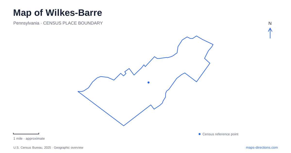
Street tiles load from OpenStreetMap when opened. The blue line shows the 2025 Census boundary.
- State
- Pennsylvania
- Population · July 2025
- 44,523
- Land area
- 6.8 sq mi
- Water area
- 0.3 sq mi
Wilkes-Barre has two historic public spaces that still organize its downtown: Public Square and the River Common. One interrupts the street grid with a diagonal civic center; the other follows the Susquehanna River. Their different shapes explain two sides of the city, where markets and ceremonies gather around an inland square while walking paths and public landscapes stretch along the water. Across the river, another group of parks adds a western-bank counterpart to the downtown shoreline.
Why the square sits diagonally
The town plan laid out in 1770 placed Public Square on a diagonal within the street grid. That diamond-shaped arrangement is an enduring feature of Wilkes-Barre, even though the uses of the space have changed substantially. The square once contained buildings including a church, school, courthouse, and jail. It became a park after the old courthouse was demolished in 1909.
Today, sculptures, historical markers, an amphitheater, and a monument to the city's namesakes occupy the two-acre space. John Wilkes and Colonel Isaac Barre were British parliamentarians who supported the American colonial cause. Their monument connects the name on the map with the political sympathies behind it, rather than with local founders or river features.
The square remains a setting for the farmers market, the Fine Arts Fiesta, and civic celebrations. Its significance is therefore both architectural and functional. The diagonal shape directs attention toward a shared center, while the surrounding commercial streets allow the space to keep serving everyday downtown life rather than becoming an isolated historic site.
The river as a public edge
River Common runs along River Street and is connected with the Susquehanna levee trail. Its renovated design includes portals that bring river views to street level, walking corridors, and spaces for performances. The portals are a particularly revealing detail: the riverfront has to negotiate the relationship between the street, flood-protection infrastructure, and the water itself.
This linear public space offers a different experience from Public Square. Movement follows the river rather than circling a central garden, and the changing views include the opposite bank as well as downtown buildings. County information identifies a walking connection to the courthouse grounds, so the waterfront also participates in the city's civic geography.
At 200 North River Street, the Luzerne County Courthouse provides a major architectural landmark. Its cruciform plan places a rotunda at the intersection of two long axes, with offices and courtrooms arranged around corridors and galleries. The dome and sandstone exterior make it a very different kind of public presence from the open square that housed its predecessor.
Parks on the opposite bank
Kirby Park gives Wilkes-Barre a substantial recreation landscape west of the Susquehanna. Fred Morgan Kirby donated riverfront land and commissioned the Olmsted Brothers to design the park, which was dedicated in 1924. Sporting fields, playgrounds, tennis courts, and paths now make it a place for active recreation as well as large community gatherings.
Nearby Nesbitt Park has a separate origin. Abram Nesbitt acquired riverfront land known as Rutter's Grove in 1907 and donated it to the city; an additional parcel followed from the Shoemaker estate. The combined space was initially called Riverside Park and received its present name in 1922. Its greenway extends between the Veterans Memorial and Market Street bridges, with river views, open space, and boating access.
These parks help explain why a riverfront destination is not necessarily on the downtown bank. Their landscapes face back toward the city, while River Common occupies the urban side. The bridges link two complementary public settings across the same waterway.
Riverfront houses become a campus
Wilkes University's history adds another layer to the Wilkes-Barre waterfront. Its campus developed partly through the acquisition and adaptation of older residences, including the substantial houses associated with the area's industrial wealth. The university's account of its growth identifies the block between Northampton and South streets as a central instructional area and describes a continuing effort to reconcile historic buildings with educational use.
Kirby Hall is one example. Built in 1873–1874 for Stephen Leonard Thurlow, the house later belonged to Fred Morgan Kirby and was donated to Bucknell University Junior College in 1941. Its High Victorian Gothic stone design, steep roof, and columned entrance retain the identity of a grand residence even after its conversion to institutional purposes.
Reading these buildings alongside the square, courthouse, and parks reveals how Wilkes-Barre has reused its inherited landscape. Public life occupies an eighteenth-century town-plan feature, education uses former private houses, and the river remains the shared edge around which all of them are arranged.
Map and statistics: U.S. Census Bureau, 2025 Gazetteer, January 2025 generalized place boundaries and Vintage 2025 population estimates. Local references: Downtown Wilkes-Barre Partnership; City of Wilkes-Barre; Luzerne County; Luzerne County Visitors Bureau; Wilkes University. Article prepared by Maps & Directions.