Map of Wichita
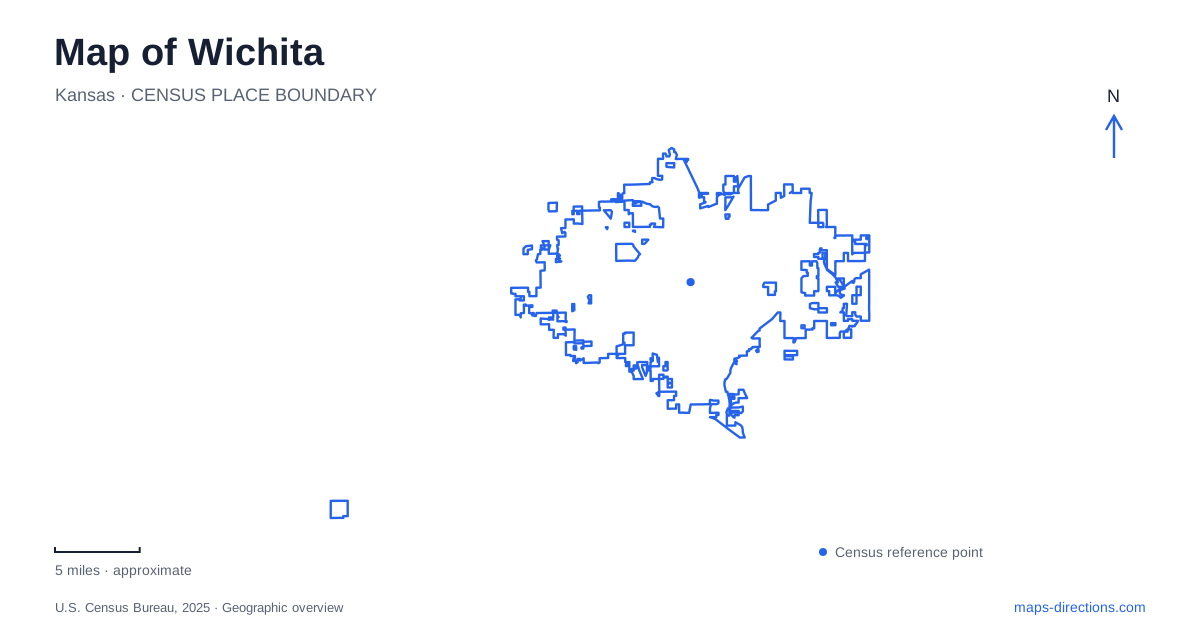
Street tiles load from OpenStreetMap when opened. The blue line shows the 2025 Census boundary.
- State
- Kansas
- Population · July 2025
- 400,987
- Land area
- 165.1 sq mi
- Water area
- 4.5 sq mi
Wichita takes shape around the meeting of the Arkansas and Little Arkansas rivers, with Douglas Avenue providing a strong east–west line through central districts. The confluence, the west-bank community of Delano, the older commercial blocks, and the neighborhoods farther east each tell a different part of the city's story. Beyond the center, an early airport terminal records the aviation industry that transformed the region.
The confluence is a cultural landmark
The Keeper of the Plains stands where the two rivers meet. Blackbear Bosin's forty-four-foot steel sculpture honors the area's Indigenous people, and the land between the rivers has cultural significance beyond its prominent downtown setting. Two pedestrian bridges connect the plaza with the riverbanks.
The surrounding plaza includes interpretation of Plains Indian traditions. The nearby Mid-America All-Indian Museum adds context about the sculpture, its creator, and Native art and history. Together, these places make the confluence a cultural landscape rather than simply a convenient place to photograph the skyline.
The rivers also organize a group of institutions often described as the Museums on the River. Exploration Place, Old Cowtown Museum, the art museum, and Botanica occupy this broader river setting. Their distribution reflects the open land and recreational routes around the water, giving central Wichita a cultural geography that extends beyond its commercial streets.
Delano's history lies west of the river
Delano developed along Douglas Avenue during the Chisholm Trail cattle-drive era. Drovers arriving from Texas brought business to a community that became known for saloons and other services. Originally called Elgin, the settlement took the name Delano in 1871.
The district remains immediately west of downtown across the Arkansas River. Its clock tower contains panels associated with Jesse Chisholm, while markers and historic signs recall the cattle-trail period. These features help explain the district's identity within a street corridor that also contains present-day shops, restaurants, and services.
Riverfront Stadium adds a newer destination south along the river. The stadium and the museums farther north create a longer west-bank sequence around Delano. Douglas Avenue crosses that sequence, making the district a meeting point between an east–west commercial route and the river-oriented public landscape.
Douglas connects changing building types
Old Town represents a different phase of Wichita's development. Its brick and limestone-accented buildings have been adapted for restaurants, shops, entertainment, and cultural uses. CityArts and the Museum of World Treasures are among the institutions identified with the district.
Eastward, the Douglas Design District follows a roughly three-mile stretch of the avenue from the downtown area toward and beyond the Douglas–Oliver intersection. Shops, galleries, design businesses, murals, and residential neighborhoods contribute to its character. The avenue supplies continuity, while the surrounding blocks change in use and scale.
College Hill adds a substantial residential setting to that eastern area. The Allen House at 255 North Roosevelt is a Frank Lloyd Wright design completed in 1918. Its horizontal forms and relationship between interior and exterior spaces reflect Prairie-style architecture, giving the neighborhood a landmark quite different from the riverfront museums or Old Town's commercial buildings.
The house is visited through guided tours, but its geographic role is broader: it helps locate College Hill within the sequence of districts along and near Douglas. A map of Wichita can therefore trace several development patterns through one central corridor without assuming they were created at the same time.
The former airport tells the aviation story
The Kansas Aviation Museum occupies the historic municipal airport terminal at South George Washington Boulevard and 31st Street South, beside McConnell Air Force Base. Its Art Deco building and aircraft collection preserve a transport landscape outside the downtown museum concentration.
Wings were added to the terminal during the 1940s, partly to accommodate the Army Procurement Division. From this site, military personnel supervised production of Stearman training aircraft nearby. Later changes in aviation and defense activity contributed to the relocation of the municipal airport.
The old terminal eventually became a museum, opening in 1991 after restoration work by volunteers. Its location makes that history tangible: the building remains associated with airfields and aircraft production rather than being a collection placed in an unrelated civic building.
A creek corridor extends the green network
Chisholm Creek Park's southern section contains a nature trail and wetlands. The K-96 bicycle path connection reaches the nature center by way of Woodlawn, adding another recreational corridor outside the central riverside setting.
This northern creek landscape complements the confluence, Douglas districts, and southeastern aviation site. Together they give Wichita a map organized by several kinds of movement—waterways, cattle trails, commercial streets, and air travel—whose physical traces remain visible in parks, buildings, and neighborhood form.
Map and statistics: U.S. Census Bureau, 2025 Gazetteer, January 2025 generalized place boundaries and Vintage 2025 population estimates. Local references: Visit Wichita; Allen House Foundation; Kansas Aviation Museum; City of Wichita. Article prepared by Maps & Directions.