Map of Wichita Falls
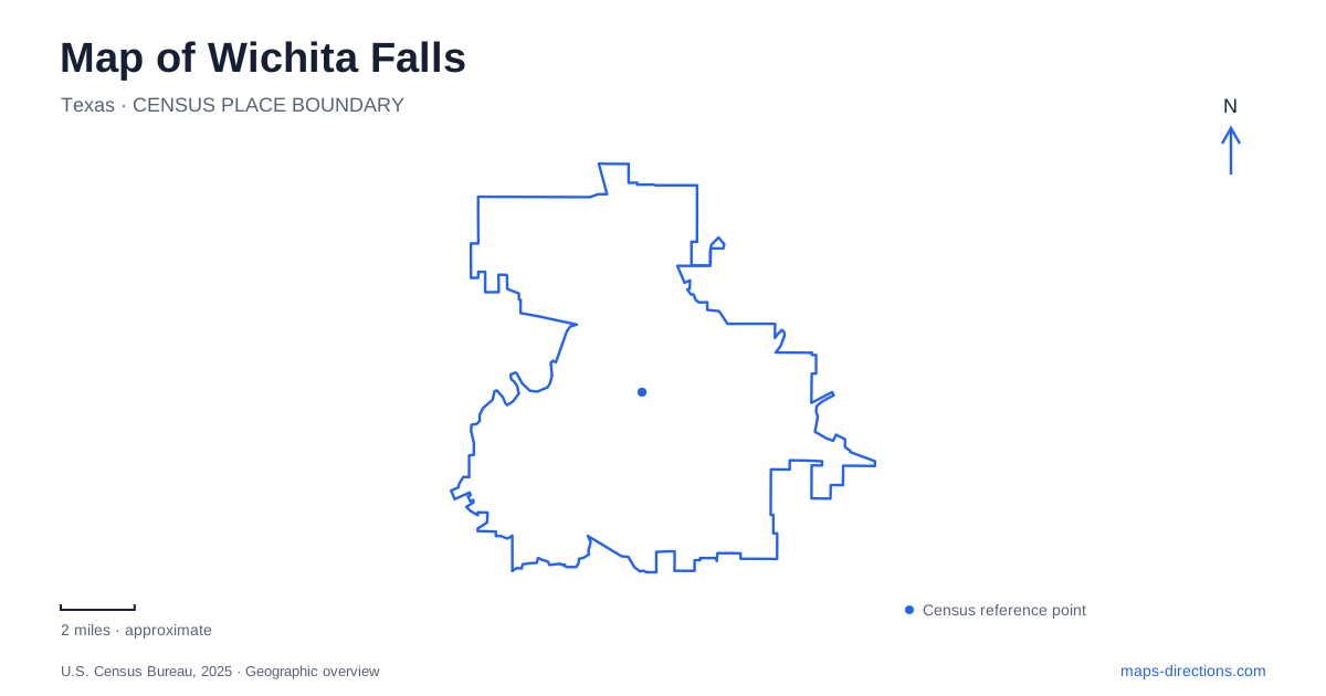
Street tiles load from OpenStreetMap when opened. The blue line shows the 2025 Census boundary.
- State
- Texas
- Population · July 2025
- 101,951
- Land area
- 72.2 sq mi
- Water area
- 0.2 sq mi
Wichita Falls is easiest to understand by combining its downtown street grid with two connected waterways: the Wichita River and Holliday Creek. The river parks explain the northern side of the central area, while the creek corridor leads toward Lake Wichita farther south. Depot Square supplies a compact collection of historic buildings within that larger landscape. The city's waterfall landmark adds another important distinction: the present cascade is a constructed memorial to an earlier natural feature, not the original falls preserved in place.
Lucy Park begins the river story
Lucy Park occupies a bend in the Wichita River at 100 Sunset Drive. The city describes a 178-acre regional park with mature pecans, cottonwoods, a waterfowl pond, and a concrete loop trail. Its river setting gives the park a different character from an open sports complex: trees, water, and the bend itself determine much of the landscape.
River Bend Nature Center occupies part of the park along Third Street and uses the address 2200 Third Street. This creates two useful references for the same broader area: Sunset Drive for the park and Third Street for the nature center. The swinging bridge and river paths provide additional landmarks within the grounds. A map of Wichita Falls becomes more readable when the park is treated as a river landscape with several destinations rather than a single recreational pin.
The cascade and the original falls
The original falls disappeared in a nineteenth-century flood. In 1987, the city constructed the present 54-foot cascade upstream on the river's south bank. Its position near the Interstate 44 river bridge makes it visible from the highway, but the walking approach belongs to the park trail system.
The city describes an approximately one-mile return walk from parking just inside Lucy Park on Sunset Drive. That route gives pedestrians a ground-level relationship with the river that a highway view cannot provide. The landmark's artificial construction is part of its story: it represents a deliberate effort to restore the city's namesake image after the natural feature was lost.
The cascade's mechanical operation and the surrounding trail access are separate matters; confirm the city's facility information if seeing flowing water is central to the visit. The structure remains a landmark, but photographs showing flowing water should not be read as evidence of its operating condition. This distinction preserves the site's usefulness on a map without promising a working waterfall.
Following the river toward the creek
The Wichita River section of the Circle Trail runs from Lucy Park to Williams Park, where it connects with the Holliday Creek section. The city's route table breaks the journey into smaller pieces: the Falls Trail, the connection to Second and Lamar, the O'Reilly Trail, and the O'Reilly–Williams Walk. Those names help turn a broad riverside route into recognizable stages.
Second and Lamar is a particularly useful access reference near the events complex. The city's trail description identifies the pedestrian connection between the exhibit hall and the J.S. Bridwell Agricultural Center. Farther along, the old Bridge Street Bridge provides access toward the sculpture site associated with the original falls. Bridges are therefore part of the route's identity, linking opposite banks and connecting the trail to downtown destinations.
For Wichita Falls, the river-to-creek transition also explains why a recreational route can lead well beyond the central parks. The connected waterways organize movement through areas that would otherwise appear as separate green spaces on a small-scale street map.
Depot Square's numbered streets
Depot Square Historic District covers six blocks centered around the farmers market at Eighth and Ohio streets. Historic trains, the Holt Hotel, and museum destinations contribute to this compact downtown setting. Its scale contrasts with the long trail corridors: here, numbered streets and short blocks provide the main orientation system.
The Newby–McMahon Building stands at Seventh and LaSalle, with the address 701 LaSalle Street. Known as the World's Littlest Skyscraper, it provides an unusually memorable landmark within the district. Locating it by its intersection also places it in relation to the market area without requiring a separate driving trip for every historic building. Wichita Falls preserves both industrial and commercial history in these blocks, alongside the recreational landscape of the nearby river.
The northern shore of Lake Wichita
Lake Wichita Park occupies the lake's north shore at 5205 Fairway Boulevard. Its paved route extends through the park toward the dam and connects northward with the wider trail system. The park also includes sports fields, a disc-golf course, and the municipal park system's model-airplane landing strip.
The lake creates a broader, more open endpoint than Lucy Park's wooded river bend. Reading these two places together gives a map of Wichita Falls a clear outdoor structure: riverbank parks near downtown, a creek-linked route through the city, and a substantial recreation landscape beside the reservoir.
Map and statistics: U.S. Census Bureau, 2025 Gazetteer, January 2025 generalized place boundaries and Vintage 2025 population estimates. Local references: City of Wichita Falls; River Bend Nature Center; Discover Wichita Falls. Article prepared by Maps & Directions.