Map of White Plains
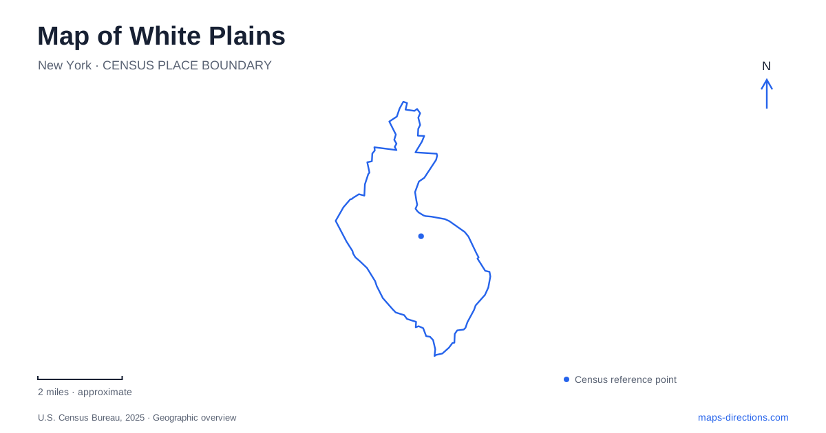
Street tiles load from OpenStreetMap when opened. The blue line shows the 2025 Census boundary.
- State
- New York
- Population · July 2025
- 62,871
- Land area
- 9.7 sq mi
- Water area
- 0.1 sq mi
White Plains presents two different map-reading tasks: finding an address in a concentrated downtown and locating a park or neighborhood destination beyond it. Main Street, Mamaroneck Avenue, Martine Avenue and South Broadway help organize the commercial center. Lake Street supplies another useful reference for recreation, while the Battle Hill area introduces terrain and historical place names. A rail trip adds a further detail: the Harlem Line includes both the city's namesake station and a separate stop prefixed with North. These distinctions are worth resolving before calculating the final route.
Do not shorten the station name
Metro-North's Harlem Line timetable lists White Plains and North White Plains as separate, consecutive stops between Hartsdale and Valhalla. The extra word is therefore operationally important, rather than a casual description of a platform. A person meeting a train needs the actual stop name from the itinerary, not an abbreviated version passed along in a message.
After identifying the correct station, treat the onward trip as a separate local journey. A rail line drawn through the city does not indicate the best pedestrian exit, pickup position or route to a particular office. Save the appointment address alongside the station choice. This simple pairing makes it easier to notice when a search result refers to a different arrival point before anyone begins the trip.
Downtown has intersecting corridors, not one entrance
The municipal Vision Zero plan describes a shopping-area network involving Main Street, Martine Avenue and Mitchell Place between Mamaroneck Avenue and South Broadway. It also identifies South Broadway between Main Street and Maple Avenue. These named connections form a useful framework for reading the downtown blocks and locating destinations relative to each other.
A visit to White Plains can involve several stops within that framework without those stops sharing a building entrance or parking approach. City Center and The Westchester are separately identified destinations in the city's plan. Choose the actual store, office or meeting address rather than assuming a general shopping-district result will lead to the right arrival. The short distance between labels at an overview scale can conceal different sides of a block and different access arrangements.
Battle Hill contains more than one park label
The city's parks guide distinguishes Battle Hill Park, by Battle Avenue and McKinley Avenue, from the historic battle-site park at the intersection of Battle and Whitney. The latter occupies a high point overlooking the city and contains historical interpretation. The shared word Battle can make these places look like alternate labels for one destination when they are not.
Retain the cross street in your search or meeting instructions. McKinley and Whitney provide a more precise distinction than a generic request for the neighborhood park. The elevated setting also explains why a flat street view does not tell the whole story of this area. A route selected for walking should be examined as a walking route, particularly when the purpose is to reach a viewpoint or historic site rather than simply pass through the surrounding streets.
Lake Street separates a rink visit from a waterfront visit
Delfino Park is listed at 110 Lake Street and includes Ebersole Ice Rink. Liberty Park lies on Lake Street at the Harrison boundary and provides a waterfront setting by Silver Lake. Both are municipal recreation references, yet they offer different map anchors: one is a multi-use park with a specific indoor sports facility, while the other is associated with the water's edge.
For a White Plains recreation outing, write down the facility as well as the park. An ice-rink visit should not end at a general lake label, and a waterfront meeting should not rely on the first park result returned for Lake Street. Comparing the two destinations on the same view helps make the distinction visible. It also shows why street names alone are insufficient when a road serves more than one public space.
Use the city map at the scale of the decision
The overview is useful for distinguishing downtown, the Battle Hill references and the Lake Street destinations. The next level should show the correct street or station, followed by the entrance or cross street needed on arrival. This sequence avoids loading the screen with detail before the basic destination is settled.
For central appointments, keep the building address and chosen rail stop together. For the historic hill, retain the intersection. For parks, identify the rink, waterfront or other intended facility. Those choices produce a usable itinerary grounded in the city's actual street and destination names rather than an assortment of broad pins that happen to fall within the same municipal outline.
Map and statistics: U.S. Census Bureau, 2025 Gazetteer, January 2025 generalized place boundaries and Vintage 2025 population estimates. Local references: Metropolitan Transportation Authority; City of White Plains. Article prepared by Maps & Directions.