Map of Wheeling
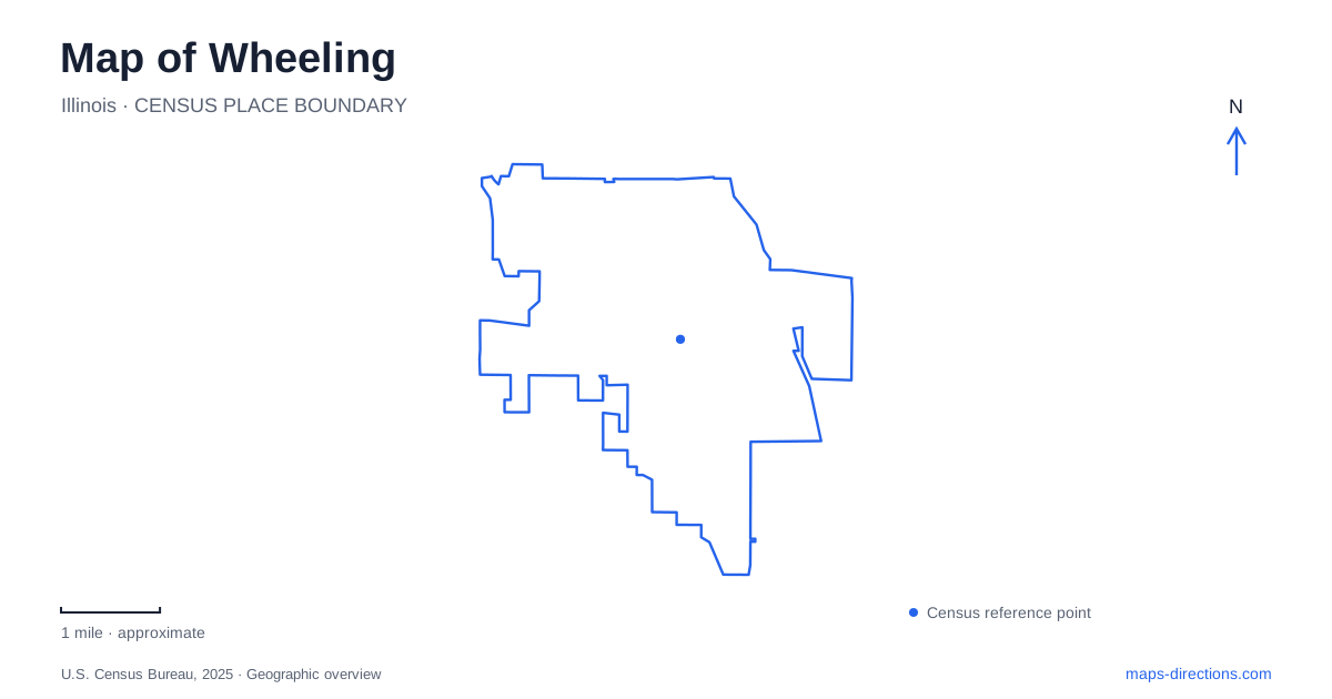
Street tiles load from OpenStreetMap when opened. The blue line shows the 2025 Census boundary.
- State
- Illinois
- Population · July 2025
- 38,391
- Land area
- 8.7 sq mi
- Water area
- 0.1 sq mi
Wheeling, Illinois grew beside a road serving travelers between Chicago and Wisconsin. That origin remains useful when reading the village map: Milwaukee Avenue represents an older movement corridor, while park campuses preserve buildings and landscapes assembled at different times. Restaurants, a former village hall, a small chapel and a flood-control park tell separate parts of this history. Their locations explain more than a single central marker would.
Milwaukee Avenue and the hospitality corridor
The village's municipal guide traces inns, taverns and eating places along Milwaukee Avenue to the 1830s. The later Restaurant Row identity therefore has a much longer background than suburban restaurant development alone. Travelers stopping along an established road helped create the settlement before its incorporation in 1894. The municipal tourism description places this dining corridor along the west side of the Des Plaines River.
On a map of Wheeling, the avenue and river provide two recognizable lines through the older settlement area. One is a commercial road; the other is a watercourse. Reading them together helps explain the corridor's position, but their proximity should not be mistaken for a continuous riverside restaurant promenade. The historical relationship is between travel, stopping places and the community that developed around them.
A village hall that changed location
The historical museum occupies the original village hall, a white frame building constructed in 1895. Its initial dimensions were only twenty by thirty feet, yet it accommodated local administration, police and court functions, together with two jail cells. A later lean-to housed firefighting equipment. Those uses make the modest structure a record of how many municipal responsibilities once fitted within a very small building.
Its first site was 84 South Milwaukee Avenue. In 1978 it moved to Chamber Park, so a present-day museum marker cannot establish where the earliest government offices stood. One shortened jail cell survives inside. The relocation is particularly useful when comparing a modern street map with historical photographs: the building remains, but the surrounding streetscape belongs to a different setting.
Chamber Park as an assembled historic setting
Wheeling preserves several pieces of its built history at Chamber Park rather than solely at their original addresses. The park district moved a Civil War-era church to the grounds in 1970 and brought a carriage house from Dundee Road in 1988. These moves span different decades and explain why the park contains buildings with histories extending beyond the immediate site.
This is a collected historic landscape. Its buildings should be understood individually, with attention to their former locations, rather than treated as an untouched nineteenth-century village block. A map can show their present arrangement; the relocation dates explain how that arrangement came about. Together with the former hall, they allow a concentrated view of structures that once belonged to separate parts of the community.
Childerley's chapel and former retreat grounds
At Childerley Park, a brick chapel records another kind of local history. The historical society dates it to 1927, when Frances Crane Lillie built it for her family and families associated with the Crane farm across the road. A charitable school-home facility had been established there in 1917. An earlier log chapel was moved to the site and connected with the newer building through a walled garden; that cabin and the garden walls no longer survive.
The existing library addition dates to 1940. After the park district purchased the property in 1977, the chapel became nondenominational. These details matter because the current park combines a surviving religious building with the remnants of a larger social and charitable setting. It is neither an intact farm complex nor simply a modern recreation parcel with a decorative chapel.
Heritage Park's water and recreation landscape
Heritage Park gives Wheeling a different connection between land use and water. Its flood-control work was tied to compensatory storage for the Army Corps of Engineers' Levee 37 project along the Des Plaines River. The water reclamation district's 2015 financial report records the flood-control improvements as completed in 2014, with additional site amenities following. Stormwater storage and recreation were deliberately part of the same project.
That engineering role adds context to the park's open space. The landscape is not explained fully by sports fields or event facilities alone: its capacity to accommodate water is part of the reason for its design. Understanding that function makes the park a useful counterpoint to the older Milwaukee Avenue corridor, where settlement grew around overland travel.
A map of Wheeling therefore connects several distinct histories without merging them. Milwaukee Avenue identifies the hospitality route; Chamber Park gathers relocated buildings; Childerley retains part of a former charitable and religious property; Heritage Park links modern recreation with regional flood management. Following those relationships gives the village's streets and green spaces a specific local meaning.
Map and statistics: U.S. Census Bureau, 2025 Gazetteer, January 2025 generalized place boundaries and Vintage 2025 population estimates. Local references: Village of Wheeling; Wheeling Historical Society; Wheeling Park District; Metropolitan Water Reclamation District. Article prepared by Maps & Directions.