Map of Weymouth Town
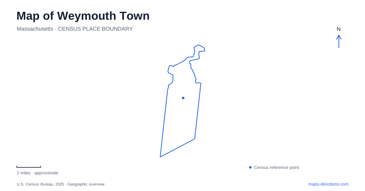
Street tiles load from OpenStreetMap when opened. The blue line shows the 2025 Census boundary.
- State
- Massachusetts
- Population · July 2025
- 59,759
- Land area
- 16.8 sq mi
- Water area
- 4.8 sq mi
Weymouth Town is best understood as a collection of village centers rather than a community organized around one downtown. The Landing, Bicknell Square, Jackson Square and Columbian Square each have their own roads, public spaces and historic buildings. A map becomes much clearer when these four places remain distinct. The shoreline and Back River then add another layer, connecting the northern part of the community to a landscape of peninsulas, marshes and public parks.
The Landing and the western boundary
Washington Street, also designated Route 53, passes through the Landing near the boundary with Braintree. The village extends across that municipal division, whose historic position follows the original course of Smelt Brook. This gives the district a practical identity that is broader than either side of the boundary alone. The shared village setting explains why nearby destinations may carry different municipal names while belonging to the same local center.
Broad Street and Commercial Street are additional important references. Sacred Heart Church and the former savings bank building provide architectural landmarks, while Tufts Library and Weston Park add public destinations. The commuter rail station, named for the Landing and East Braintree, places the district on the Greenbush Line. These features make the western village both an everyday neighborhood center and a point of arrival.
On a Weymouth Town map, the Landing therefore works as a recognizable district rather than a vague western area. Its mixture of older buildings, homes, restaurants and transit gives several reasons to visit the same cluster. Looking at the boundary and the street arrangement together is especially helpful when a destination's address appears to place it just outside the municipality.
Southern streets converge at Columbian Square
Columbian Square lies east of Main Street, or Route 18, in the southern village. Columbian, Pleasant and Union streets help define its local road pattern. The Fogg Library, Old South Union Church and former Fogg Opera House building give the square prominent historic reference points, while the former boot factory connects the area with an earlier manufacturing economy.
The square has a different shape and role from the Landing. Several well-used streets come together around a commercial and civic center, and South Shore Hospital adds a substantial regional destination nearby. A map of this part of Weymouth Town should retain the distinction between the square itself and the hospital complex. Both belong to the southern area, but they draw visitors for different purposes and require different final addresses.
For an architectural walk, the historic buildings provide a compact set of subjects. For an appointment or an errand, Main Street and the connecting local roads are more important. The same map can support either purpose if the village center remains visible as a distinct place rather than disappearing into a general Route 18 corridor.
Bicknell Square and Jackson Square
Bicknell Square is the commercial center of the northern village along the Bridge Street corridor. Bridge Street carries Route 3A, making it a key east–west reference through this part of the community. Its relationship with nearby waterfront areas is part of the reason the corridor matters beyond individual shops or intersections.
Jackson Square anchors the eastern village. Broad and Commercial streets, Herring Run Brook and the nearby recreation landscape give this area its own combination of built and natural features. These are separate centers within Weymouth Town, even though Broad Street and Commercial Street also appear in discussions of the Landing. Retaining the square name alongside a street address helps place a destination within the correct district.
The four-center pattern explains why a request for directions to downtown can be incomplete. A visitor interested in the northern waterfront, the southern historic square or the western rail station is choosing among different centers, not different entrances to a single central district.
Two waterfront landscapes
Webb Memorial State Park extends as a peninsula into Hingham Bay from its River Street address. Walking there offers a bay-oriented landscape with views toward Boston's harbor and skyline. The peninsula shape is the key map feature: paths explore land projecting into the water, rather than following a long inland street corridor.
The Back River parks provide another experience. Osprey Overlook Park occupies reclaimed land above a capped landfill and includes an overlook and a loop trail connected to Great Esker Park. Abigail Adams State Park and the adjoining Kibby property add waterfront open space near Bridge Street. These named sites should remain distinct even when viewed as parts of a wider river landscape.
A useful map of Weymouth Town balances these waterside places with the four village centers. The result is a network of specific local destinations: a cross-boundary Landing, an architectural southern square, a northern road corridor, an eastern village and several different ways to approach the water.
Map and statistics: U.S. Census Bureau, 2025 Gazetteer, January 2025 generalized place boundaries and Vintage 2025 population estimates. Local references: Town of Weymouth; Massachusetts DCR. Article prepared by Maps & Directions.