Map of Westminster
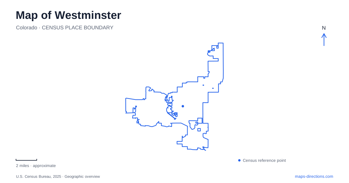
Street tiles load from OpenStreetMap when opened. The blue line shows the 2025 Census boundary.
- State
- Colorado
- Population · July 2025
- 116,182
- Land area
- 31.6 sq mi
- Water area
- 2.3 sq mi
Westminster has an older town center, a newer downtown built on former mall land, and a substantial landscape of reservoirs and creek corridors. Those three settings explain much of its otherwise dispersed map. Harris Park preserves the geography of the original town plat. The redevelopment between 88th and 92nd avenues represents a different approach to creating an urban center. Standley Lake and Big Dry Creek provide a third organizing framework, one based on water and open space rather than commercial streets.
Harris Park and the original town plat
The original Harris town plat, recorded in 1890, covered the area between 72nd and 80th avenues, Lowell Boulevard, and Quitman Street. This became the Harris Park historic area. The city's community history describes orchards developing after the arrival of the railroad, with apple and cherry growing contributing to the early landscape. The numbered avenues and named north-south streets still provide a clear way to place that history on the modern map.
The Bowles House stands at 72nd Avenue and Newton Street. The city operates it as a museum in partnership with the local historical society, giving the neighborhood a public place for interpreting its past. Its brick architecture also supplies a tangible point of comparison with later buildings nearby. An outing around Harris Park can therefore begin with a specific surviving house and expand to the surrounding streets of the original settlement.
For Westminster, this early district matters because the word downtown now commonly refers to another location. Historical photographs of the old commercial area and present-day descriptions of the new development belong to different periods and different street settings. The old plat boundaries offer a straightforward way to keep the earlier town in view while exploring a municipality that expanded far beyond it.
A former mall becomes a new street district
The newer downtown occupies the former mall site north of 88th Avenue and south of 92nd Avenue, between Harlan Street and the U.S. 36 corridor. The city acquired the full mall property in 2011, followed by demolition and new infrastructure. Central Square Plaza opened in 2018. This redevelopment history explains the change from a single shopping property to a district organized around streets, public space, homes and businesses.
The sequence matters when reading plans and photographs. A mall-era image shows a different circulation pattern from the district taking shape today. The public plaza provides a recognizable gathering place within the redevelopment, while the surrounding avenues locate it in the regional road network. This part of the city is best understood as an evolving center with a documented starting point, rather than as the unchanged historic downtown.
Rail access requires another geographical distinction. Westminster Station, at 6995 Grove Street, serves the B Line connection to Denver Union Station. It is south of the newer downtown site. The station's location belongs with the southern city map, while the 88th-to-92nd Avenue district belongs farther north. Comparing those addresses before choosing transit avoids assuming that a station carrying the city name sits within the new downtown blocks.
Standley Lake is also a drinking-water landscape
Standley Lake is the city's largest body of water, with more than a thousand acres of surface area. Its role extends beyond recreation: the reservoir supplies drinking water to three cities, with ownership also involving the Farmers Reservoir and Irrigation Company. That function explains why swimming and wading are prohibited even though the shore is part of a regional park and wildlife refuge.
The nature center is on the park's north side. It provides a useful reference for an outing focused on interpretation and wildlife rather than simply finding the nearest visible shoreline. On a Westminster map, the lake is a major western landmark, but its water-supply purpose gives meaning to the rules and facilities around it. A reservoir park combines public access with responsibilities that differ from those of an ordinary neighborhood pond.
Creek and canal trails connect a broader territory
Big Dry Creek Trail runs nearly twelve miles within the city, from Standley Lake Regional Park toward I-25 and onward into Thornton. Most street crossings use underpasses, and the corridor includes substantial parkland and open space. It received National Recreation Trail designation in 2003. The trail follows a landscape connection that remains meaningful even where municipal boundaries change.
The Farmers' High Line Canal Trail provides another eastward route from near the lake toward Northglenn's E.B. Raines Park and beyond. Little Dry Creek connects with the wider Denver trail system, while the U.S. 36 Bikeway follows the highway corridor. These routes give Westminster several distinct ways to travel through open space. Choosing by creek, canal, or highway alignment makes the trail map easier to understand than treating every recreational line as part of one interchangeable network.
Map and statistics: U.S. Census Bureau, 2025 Gazetteer, January 2025 generalized place boundaries and Vintage 2025 population estimates. Local references: City of Westminster; Downtown Westminster / City of Westminster; Regional Transportation District. Article prepared by Maps & Directions.