Map of Westland
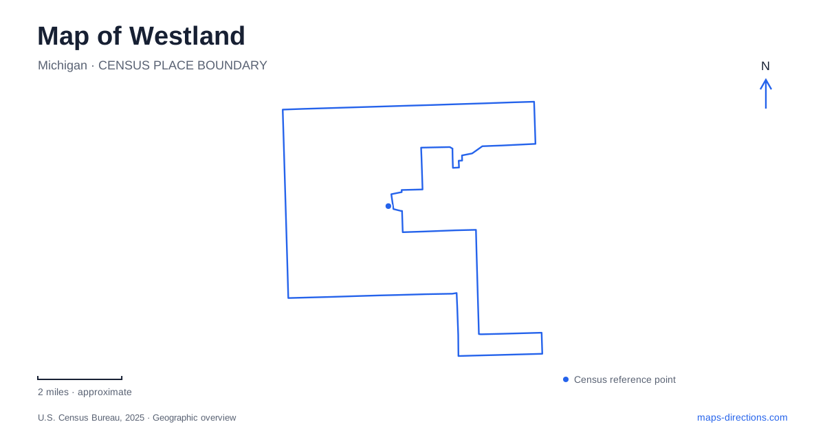
Street tiles load from OpenStreetMap when opened. The blue line shows the 2025 Census boundary.
- State
- Michigan
- Population · July 2025
- 82,333
- Land area
- 20.4 sq mi
- Water area
- 0.0 sq mi
Westland has several different historical and landscape centers rather than one landmark that explains the entire street map. The old mill beside Hines Drive, the historic village on Wayne Road, and the library on Central City Parkway tell different parts of the area's story. Locating those three places first helps separate a creekside outing from a visit to a historical collection or a civic destination. Their names occasionally overlap in local descriptions, but their addresses and surroundings are distinct.
The mill beside the parkway
Nankin Mills Interpretive Center occupies a former gristmill at 33175 Ann Arbor Trail. Its exhibits connect the Rouge River landscape with Native American history, water-powered settlement, the Underground Railroad, and Henry Ford's Village Industries. That combination makes the building more than an isolated historical attraction: it provides a starting point for understanding why mills and later small industrial operations occupied this river corridor.
Nankin Mills Park has a different address, 33275 Edward N. Hines Drive. Wayne County describes the interpretive center as being across the street from the park. A search for the park therefore does not identify precisely the same arrival point as a search for the museum. The distinction is particularly useful when arranging a meeting: one destination concerns the historical building, while the other concerns picnic space, sports facilities, and outdoor recreation.
On a map of Westland, keep Ann Arbor Trail and Hines Drive visible together around this area. The two street names explain the paired addresses better than the shared mill name alone. The park and interpretive center belong to the same local landscape, but each has its own purpose and frontage. Historical exhibits also should not be confused with the adjoining preserve's walking routes.
Following the Tonquish Creek landscape
William P. Holliday Forest and Wildlife Preserve follows the Tonquish Creek valley through woodland, wetlands, and meadow. Wayne County describes a preserve of roughly 550 acres assembled beginning in 1958. Its shape follows a natural corridor, so it is better understood as a collection of access points along a landscape than as a single rectangular park with one central gate.
The county lists a Cowan North entrance on Joy Road between Wayne and Newburgh roads. Cowan South is reached from the north side of Central City Parkway between Nankin Boulevard and Warren Avenue. These names are useful because they place two portions of the preserve against different street references. Choosing one changes the starting section of the woodland visit, even though both searches may return the same preserve name.
The Ellsworth access near Hines Drive connects this broader preserve landscape with the mill area. A visit organized around historical exhibits and a visit organized around the creek corridor can therefore begin in the same general district without being identical trips. For Westland visitors interested in natural geography, the creek provides continuity that the street network does not immediately reveal. Read the entrances in relation to the watercourse and named roads, rather than assuming every green area belongs to an interchangeable starting point.
A separate village on Wayne Road
The municipal historical village is at 857 North Wayne Road, north of Cherry Hill Road. The city's master plan describes a collection established in 1970 on approximately four and a half acres, with five historical buildings. Its subject is the former Nankin Township and the communities and institutions that preceded the present city.
This is a separate place from Nankin Mills. The shared historical vocabulary can make the two seem like alternate names for one attraction, particularly in abbreviated search results. Using Wayne Road and Cherry Hill Road as the village's reference pair keeps the locations distinct. The mill belongs to the Hines Drive river landscape; the village is a collection of buildings on a different site.
That separation makes a historical map of Westland more interesting. Instead of expecting one preserved downtown to contain every historical feature, readers can see several surviving pieces of an older township landscape. The village's assembled buildings and the mill's relationship to water power offer different ways to interpret that history. They work as complementary stops because they explain different kinds of place.
The library between Ford and Warren
William P. Faust Public Library stands at 6123 Central City Parkway, on the west side of the road between Ford and Warren roads. The library's own directions describe approaches from Interstate 275 using Ford Road and from Interstate 96 using Newburgh and Warren roads. Those directions establish Ford and Warren as useful reference lines around the destination.
The Veterans Memorial Garden is behind the library, according to the city's visitor information. This is a more specific relationship than simply grouping the garden with other civic places. Someone visiting both can understand them as a building and its adjoining commemorative landscape, while keeping the historical village and mill as separate destinations elsewhere.
Westland becomes easier to read when these local relationships remain visible: a mill and park facing different roads, a preserve with named entrances along a creek valley, a historical village on Wayne Road, and a library with a memorial behind it. Together they supply a practical framework for exploring the city without treating every historical or green-space label as part of one central complex.
Map and statistics: U.S. Census Bureau, 2025 Gazetteer, January 2025 generalized place boundaries and Vintage 2025 population estimates. Local references: Wayne County; City of Westland; William P. Faust Public Library. Article prepared by Maps & Directions.