Map of Westfield
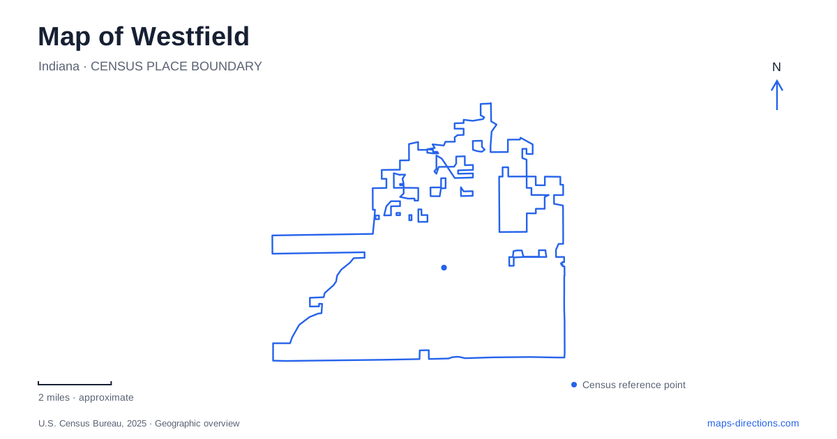
Street tiles load from OpenStreetMap when opened. The blue line shows the 2025 Census boundary.
- State
- Indiana
- Population · July 2025
- 66,258
- Land area
- 33.0 sq mi
- Water area
- 0.2 sq mi
Westfield has a small founding village, a contemporary downtown gathering place and a sports campus whose scale is closer to a district than a neighborhood park. US 31 and State Road 32 provide the broad road framework, but Union Street, Dartown Road and the trail network reveal a more detailed local pattern. Public spaces preserve different chapters of that development.
From a Quaker village to a civic gathering place
The original village was laid out on May 6, 1834, by Simon Moon, Ambrose Osborne and Asa Bales. Its forty-eight lots represent a much smaller settlement than the present community. Moon also donated land for a Friends cemetery in 1835. These origins help explain why Quaker references appear in local park names and historical accounts rather than being incidental labels.
The city's history associates the early Quaker community with migration from the Carolinas and assistance to people escaping slavery. That background gives the old village a regional historical significance beyond its modest original footprint. A historical map and a modern development map therefore tell different but connected stories: one records a deliberately established settlement, while the other shows the growth around it.
Grand Junction Plaza gives central Westfield a contemporary outdoor meeting place. At 225 South Union Street, the 6.5-acre property combines green space with a wetland amphitheatre, access to Grassy Branch Creek, a concert stage and decorative jet fountains. Water, performance space and paths are all part of its design, rather than a single lawn serving every purpose.
The city's directions approach from US 31 along State Road 32, then turn south on Union Street. That places the plaza within the downtown street network. Farmers markets, concerts and other programmed activities use the grounds, but the underlying creek landscape remains useful for understanding the site's shape even when no event is taking place.
A rail-trail assembled in sections
Midland Trace is an important east-west recreational reference in Westfield. The city describes 4.96 miles of trail, with existing segments running from Gray Road to the boulevard bearing the city's name and from the Monon Trail toward Sonoma. Its twelve-foot asphalt surface accommodates walking, running, bicycling and rollerblading.
The distinction between completed segments and proposed connections matters here. The municipal facility description identifies additional links, including Union Street to the Monon and other gaps, as future work. A broad corridor shown on a planning map should therefore not be read as proof of an uninterrupted path on the ground.
Grand Junction Plaza and Quaker Park are major access points. The trail description also identifies relationships with the Monon, Natalie Wheeler Trail, Monon Midland Loop and Simon Moon Park. Together these names show how the route belongs to a wider recreational network. They are more informative than treating the corridor as an isolated line across the city.
The western park and the older community story
Quaker Park occupies 6.71 acres at 17501 Dartown Road. From US 31, the municipal approach follows Main Street west and turns onto Dartown, placing the park behind the Public Safety Building near the post office. It is a separate setting from the creek-oriented downtown plaza.
The park opened in 1997 with a name honoring the community's Quaker heritage. Its present amenities include a splash area, pickleball, shelters and a connection to Midland Trace reached by sidewalks from the parking area. Historical commemoration and everyday recreation share the same compact property. The name refers back to the founding community, while the trail connection ties the site into a newer system of public movement.
A sports landscape north of the highway junction
Grand Park Sports Campus changes the scale of a Westfield map. Hamilton County Tourism places the roughly 400-acre campus north of the US 31 and State Road 32 intersection. Its inventory includes thirty-one multipurpose fields, twenty-six diamonds and two large indoor facilities. Baseball and softball diamonds sit within a broader complex used for sports including soccer, lacrosse and football.
That range explains why the campus requires its own field and parking map. A tournament destination is a particular field or building within a large property, and the pattern of playing areas is more useful than the outer campus outline alone. The official tourism account also identifies the site as the training home of Indy Eleven.
The campus opened in 2014, adding a major recreational destination to a community with much older village roots. Park Street's dining area belongs to the downtown story, while the sports grounds represent a larger modern development. Reading those places alongside the plaza, Quaker Park and the trail sections gives Westfield a recognizable local structure: a historic center, connected public spaces and a substantial northern sports district.
Map and statistics: U.S. Census Bureau, 2025 Gazetteer, January 2025 generalized place boundaries and Vintage 2025 population estimates. Local references: City of Westfield; Hamilton County Tourism. Article prepared by Maps & Directions.