Map of West Virginia
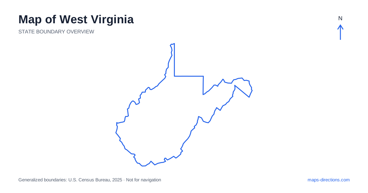
West Virginia has an irregular outline shaped by rivers, mountain terrain and two distinct panhandles. Charleston, Huntington, Morgantown and Wheeling orient different urban regions, while the eastern extension reaches toward the Potomac corridor. The state is not best understood as a grid of short connections between nearby labels. Ridges and valleys strongly influence how roads move through the interior. Begin with the valley containing the destination and the main corridor serving it, then use the statewide shape to understand how that region relates to the next planned stop.
Read the river cities in their own valleys
Charleston is the capital of West Virginia and lies along the Kanawha River, while Huntington sits farther west on the Ohio River. These cities connect through the broader southwestern road network but have different local arrival patterns. A destination on the opposite riverbank may need a particular bridge, even if it appears close to another address on the map.
The river valleys also help explain why roads and development form long corridors rather than broad urban grids. Choose the actual neighborhood, venue or accommodation entrance before comparing routes. An airport approach, a central-city visit and a rural property outside the valley town are different tasks. The city label provides orientation, but the usable arrival route depends on the specific road and crossing serving the final address.
Distinguish the two panhandles
The northern panhandle extends along the Ohio River, with Wheeling an important reference point. Its narrow shape and position between neighboring states create a regional road pattern that can involve cross-border connections. A map cropped tightly to the state boundary may hide roads relevant to the most practical approach, so keep the surrounding area visible.
The eastern panhandle is a separate extension toward the Potomac and Shenandoah rivers. Martinsburg and Harpers Ferry occupy different positions within that region. They should not be confused with the northern river towns simply because both areas are described as panhandles. A visit to one extension is a distinct regional journey from a visit to the other, with the central mountain landscape lying between their different approaches.
Follow the main highway framework without ignoring terrain
A road map of West Virginia shows Interstate 64 connecting the Huntington and Charleston regions with routes toward the southeastern part of the state. Interstate 77 provides a major north-to-south corridor, while Interstate 79 links Charleston with the north-central region and Morgantown. These highways make the larger city relationships easier to understand.
They do not describe every local connection through the surrounding hills. A destination that looks close to an interstate may require leaving it at a specific interchange and following a valley road away from the apparent nearest point. Trace that final approach completely before counting the visit as a small detour. A main highway can cross terrain in a way that nearby local roads do not reproduce, making their map lines poor substitutes for one another.
Place the north-central cities separately from the capital
Morgantown lies along the Monongahela River in the north-central region, with nearby communities forming their own urban and valley networks. Clarksburg and Fairmont occupy different positions along the broader corridor to the south. These places are connected regionally but should not be treated as neighboring districts of Charleston, which lies in another part of the state.
A riverfront or hillside destination may have a more indirect approach than its straight-line distance from the main road suggests. Use a detailed map for campuses, event facilities and rural addresses. If the itinerary continues into a neighboring state, identify the actual highway connection rather than simply aiming toward the closest boundary point. The irregular outline makes surrounding regional context particularly helpful when planning these transitions.
Read the gorge and highland destinations by access area
The New River Gorge region of West Virginia includes a broad landscape with distinct towns, viewpoints, trailheads and river access points. Fayetteville is a useful gateway reference, but a general gorge pin does not identify every visitor destination. A place on the opposite side of the canyon can require a different road approach or a substantial drive to a crossing.
Farther east and northeast, highland and forest destinations also depend on particular valleys and roads. A mountain recreation area should be located by its named entrance rather than the center of its mapped boundary. Keep a terrain view alongside the road map when comparing routes. This explains the indirect connection while leaving current road conditions and access arrangements to a separate check for the intended date.
Let the valley sequence shape the itinerary
A southwestern city visit, a northern-panhandle trip, a north-central stay and an eastern highlands journey each provide a coherent starting focus. Combining them works best when overnight stops follow the actual connecting corridors. Repeatedly returning to one visually central point can create unnecessary travel across ridges and valleys that the small state outline makes easy to underestimate.
For a West Virginia itinerary, keep the selected riverbank, valley and visitor entrance attached to every stop. Use the statewide map to establish the region and a detailed terrain-and-road view for the final approach. The result is a plan organized around the state's real connections, with river crossings and mountain corridors treated as practical features rather than background scenery behind a line between town names.