Map of West Valley City
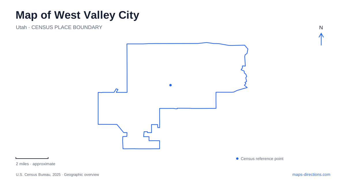
Street tiles load from OpenStreetMap when opened. The blue line shows the 2025 Census boundary.
- State
- Utah
- Population · July 2025
- 137,491
- Land area
- 35.8 sq mi
- Water area
- 0.1 sq mi
West Valley City rewards a careful reading of street numbers. Addresses such as 1355 West 3100 South contain two different pieces of location information, and dropping either direction can obscure the intended destination. Major corridors, rail stations and river access points provide a second layer of orientation. Together they explain a city whose destinations are distributed across several areas rather than concentrated around one historic square. The best overview keeps the numbered road system visible while distinguishing the separate places that share familiar names.
Start with 3500 South and Redwood Road
The municipal general plan identifies 3500 South and Redwood Road as major arterial corridors. They are useful reference lines when locating an unfamiliar address or comparing two possible destinations. Their role in the city's planning also explains why a map may show a mixture of commercial and residential uses along the same road. A broad corridor label does not identify the entrance to an individual property.
When reading a numbered address, keep the street designation separate from the building number. The Cultural Celebration Center's 1355 West 3100 South address, for example, should not be reduced to either number alone. A search result should agree with the entire address and the named venue. This is a practical check when several parks, community facilities or businesses appear along one numbered street. It costs little effort and prevents a much larger location error.
Fairbourne and the central station
West Valley Central is the rail station name; the city calls its surrounding station area Fairbourne Station. That pairing can otherwise look like two unrelated destinations in search results. UTA lists the rail stop at 2750 West Lehman Avenue. Use the station address for a transit arrival, while retaining the individual building address for an appointment in the surrounding area. A neighborhood redevelopment name is broader than a platform or an entrance.
This distinction helps explain central West Valley City without pretending that every place nearby is reached in the same way. City Hall, for instance, is listed at 3600 South Constitution Boulevard. A civic destination and a rail stop can belong in one orientation map yet remain separate endpoints. Establish which one the trip actually requires, then inspect the intervening street connection. A district-level map is the start of that decision, not its completion.
Decker Lake means more than one thing
Decker Lake appears as both a park name and a TRAX station name. The city's facilities directory places the park at 2800 South 2300 West; UTA lists the station at 3070 South Decker Lake Drive. These are not identical address strings, so selecting the first matching name without checking its category is a poor arrival strategy. Look for the park if the purpose is recreation and the station if the purpose is boarding a train.
The park directory identifies a pavilion, playground and other recreational facilities. Those features make the green space a destination in its own right, rather than simply scenery beside the transit corridor. In a West Valley City itinerary, saving two separate pins for the park and station makes the distinction explicit. It also avoids interpreting a large green polygon as though every point around it were an equivalent entrance.
River access needs a named trailhead
The municipal parks list identifies Jordan River Redwood Trailhead Park at 1055 West 2320 South and Pioneer Crossing Park at 1272 West 3300 South. Both are useful references for the river corridor, but they are different access locations. UTA's River Trail station adds another similarly themed name, with its own address at 2340 South 1070 West. A river label by itself cannot resolve which of these places someone means.
Choose the facility first, then use the watercourse to understand its setting. A person meeting at a trailhead needs a more specific instruction than someone merely identifying the river on a regional map. The distinction also protects against confusing a rail platform with a recreational arrival point. For West Valley City, this is one of the clearest examples of why map categories matter as much as map coordinates.
Culture and transit at different scales
The Utah Cultural Celebration Center is another independent destination, at 1355 West 3100 South. Its own directions discuss nearby bus services and Redwood Junction on the Green Line. UTA places Redwood Junction at 1740 West Research Way. These named references allow an arrival to be planned in stages: select the appropriate transit stop, then examine the actual connection to the venue. The station name alone does not establish the final walking route.
A useful West Valley City map therefore preserves three kinds of detail: complete numbered addresses, the distinction between station areas and stations, and specific access points along the river. With those in place, the city becomes legible through real destinations rather than a vague center marker. Operating schedules, event arrangements and temporary disruptions still need current checks; the geographic relationships explain where to look without presenting those changing conditions as permanent facts.
Map and statistics: U.S. Census Bureau, 2025 Gazetteer, January 2025 generalized place boundaries and Vintage 2025 population estimates. Local references: West Valley City; Utah Transit Authority; Utah Cultural Celebration Center. Article prepared by Maps & Directions.