Map of West Palm Beach
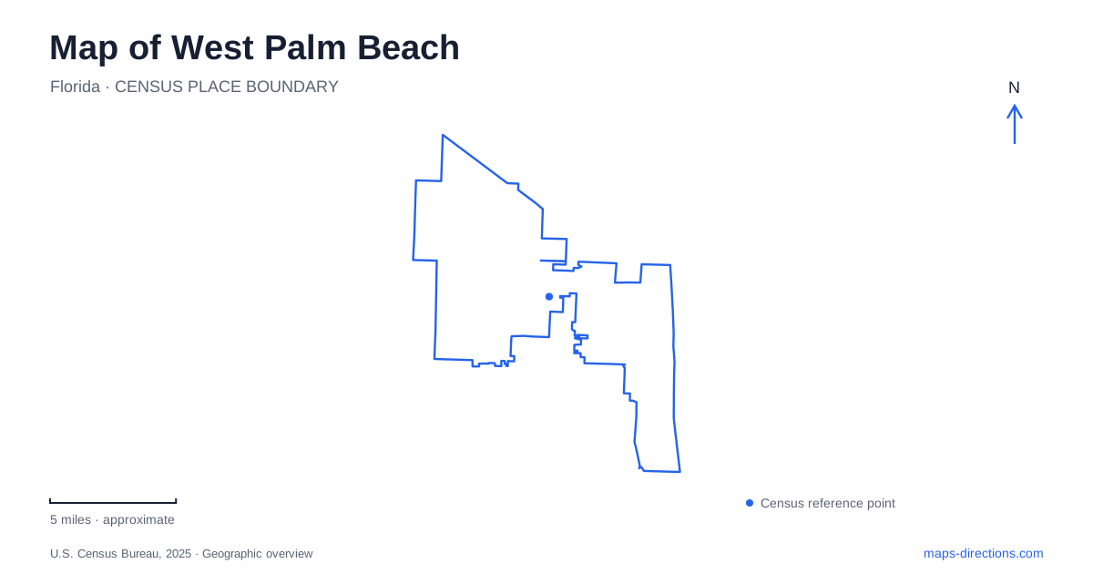
Street tiles load from OpenStreetMap when opened. The blue line shows the 2025 Census boundary.
- State
- Florida
- Population · July 2025
- 127,189
- Land area
- 53.9 sq mi
- Water area
- 4.2 sq mi
West Palm Beach faces the Intracoastal Waterway, with the separate town of Palm Beach across the water. That distinction is the first useful fact to establish on a map. The downtown waterfront is not an Atlantic ocean beach, and an address on the island belongs to a different destination area. Inland, a large protected wetland supplies drinking water as well as habitat. Between those two water landscapes lie commercial streets and neighborhoods whose names describe specific parts of the city rather than a single resort district.
Clematis Street and the waterfront edge
Clematis Street gives downtown a recognizable shopping, dining, and entertainment spine. At the water, Flagler Drive supplies a second reference, running beside the Intracoastal setting. The city's Waterfront Commons is associated with this meeting of the central streets and shoreline. This makes Clematis useful for moving from the commercial blocks toward the water, while Flagler is useful for understanding the waterfront itself.
A map of West Palm Beach should preserve the distinction between looking across the water and crossing it. The island's destinations are not simply the next block of downtown, even when they appear close at a broad scale. For a waterfront walk, the mainland shoreline is the relevant feature. For an island visit, the bridge and the destination on the other side become part of the journey. That change in orientation is more useful than treating every place with “Palm Beach” in its name as one continuous neighborhood.
CityPlace is another downtown shopping and dining concentration. Its presence helps explain why central-area searches can return different clusters of businesses: some belong to the Clematis corridor, others to a separate development within the broader downtown area. These are complementary reference points, but they should retain their own names when organizing a walk or arranging to meet someone.
Northwood Road and a second commercial center
Northwood Village lies north of downtown, with Northwood Road as its commercial focus. The area's origins reach back to the early 1920s, when the road was conceived as a second Main Street. That history is useful geographic context. The district was developed as another center of activity, not merely as an extension of the waterfront entertainment area.
The neighborhood includes Mediterranean Revival and Mission-style architecture, alongside shops, galleries, cafés, and restaurants. In map terms, the street is the organizing feature and the village is the surrounding destination district. A gallery visit here belongs to a different neighborhood outing from a Clematis Street visit, even if both are described as central-city activities in a broad tourism search.
Northwood gives West Palm Beach a northern cultural and commercial anchor. Its streetscape also adds an architectural reason to explore beyond the downtown waterfront. Rather than collecting unrelated attraction markers, a visitor can read the area as a small district shaped around its historic shopping road. This approach makes the relationship between the businesses and their neighborhood more apparent.
South Dixie Highway and Antique Row
Antique Row is another street-based district, this time on South Dixie Highway between Belvedere Road and Southern Boulevard. The local association uses those two cross streets to describe its location. They are stronger map references than a general search for antiques, which could produce shops scattered across the region.
The concentration includes antiques, decorative arts, lighting, furnishings, and design businesses. The street therefore functions as a specialist shopping corridor as well as a through-road. Its geometry differs from a shopping center with one entrance and an interior pedestrian space: the destinations are arranged along a public highway corridor. The useful map task is to locate the particular shops within that corridor and understand their order relative to its cross streets.
Together, Antique Row, Northwood Road, and Clematis Street reveal three distinct commercial geographies in West Palm Beach. Each has a named street that helps organize the visit. They offer a more precise structure than a citywide list of shops, and they show how different business districts can retain separate identities within the same urban area.
Grassy Waters and the inland water system
Grassy Waters Preserve introduces a landscape on a very different scale. The city describes it as a 23-square-mile wetland ecosystem that supplies freshwater to the city and neighboring island communities. Historically, it formed part of the greater Everglades watershed and the headwaters of the Northwest Fork of the Loxahatchee River. The mosaic of wetlands, tree islands, and forested hammocks is therefore connected to both regional ecology and everyday water use.
The nature center is at 8264 Northlake Boulevard. That address provides a specific starting reference within a preserve too large to be represented adequately by one general label. The city's trail information distinguishes individual routes, including the Cypress Boardwalk Trail and Eagle Trail. These names matter because different parts of the preserve support different kinds of access; the boardwalk, for example, is not a cycling route.
Including Grassy Waters on a map of West Palm Beach changes the picture from a purely coastal city to a place shaped by two different water systems. The Intracoastal waterfront defines the downtown edge, while the inland wetland protects a freshwater resource. Reading both landscapes alongside the city's commercial corridors gives a more complete understanding of how its destinations fit together.
Map and statistics: U.S. Census Bureau, 2025 Gazetteer, January 2025 generalized place boundaries and Vintage 2025 population estimates. Local references: Discover The Palm Beaches; City of West Palm Beach; Antique Row Association. Article prepared by Maps & Directions.