Map of West New York
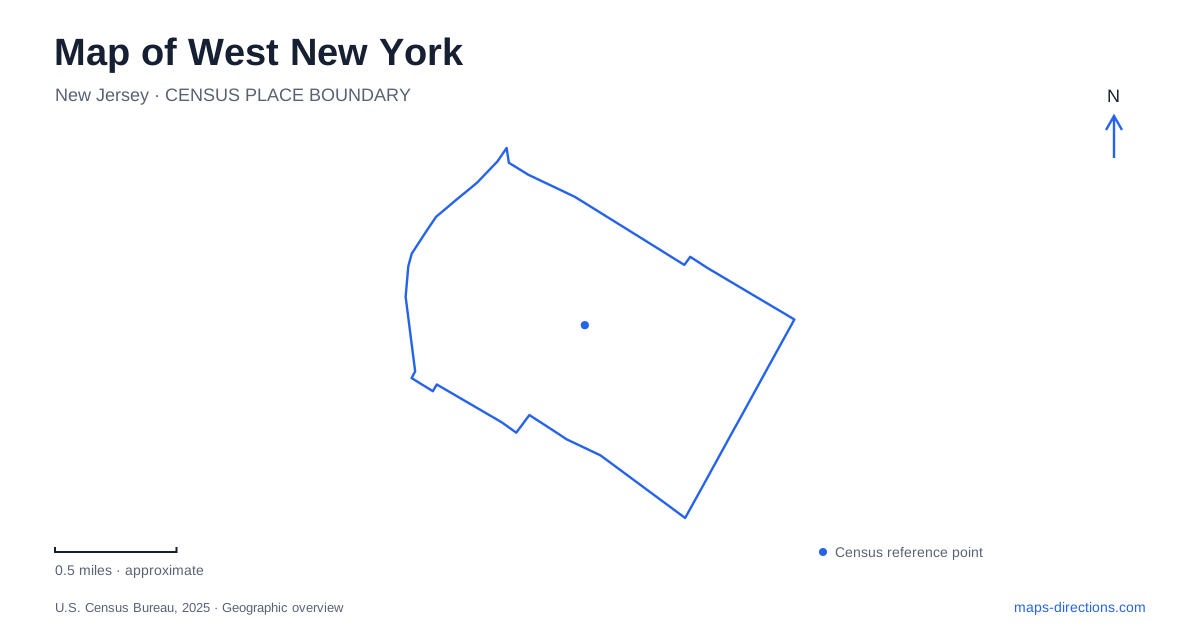
Street tiles load from OpenStreetMap when opened. The blue line shows the 2025 Census boundary.
- State
- New Jersey
- Population · July 2025
- 53,192
- Land area
- 1.0 sq mi
- Water area
- 0.3 sq mi
West New York lies in New Jersey, across the Hudson River from Manhattan. Its most important map distinction is vertical: the established street grid sits above the river, while waterfront development occupies the lower ground beneath the Palisades. Bergenline Avenue, Boulevard East, and the waterfront therefore represent three different local experiences. Understanding their relationship is more useful than judging a journey by the short straight-line distance between two points on a screen.
Bergenline and the numbered streets
Bergenline Avenue is the inland shopping corridor, with clothing stores, restaurants, bakeries, and other businesses occupying a long sequence of blocks. Hudson County's tourism office highlights the avenue's commercial role and the community's Cuban heritage. Exploring this district provides a view of everyday town life that is quite different from a visit limited to the Manhattan skyline overlooks.
Numbered cross streets give useful reference points along the avenue. A meeting at Bergenline and 60th Street, for example, is more precise than meeting somewhere on the shopping strip. The same numbered street can also help orient an eastward journey toward Boulevard East. Retaining both the avenue name and cross street matters because the urban fabric continues across neighboring municipalities. A business on Bergenline may be close to the town boundary without being in the same jurisdiction as the next destination.
Parks along the top of the Palisades
Boulevard East follows the high ground beside a chain of public parks. Donnelly Park extends along the boulevard between 54th and 60th streets and includes playgrounds, fountains, game tables, and memorials. Veterans Park occupies an adjoining stretch around 53rd through 56th streets. Their overlapping street ranges reflect broad park areas rather than a single numbered building entrance.
Farther north, Patricia McEldowney Park is identified with 61st and 62nd streets, while Verrazano Park extends from 63rd to 67th streets. This series allows an overlook outing to be planned along the boulevard, with different recreation facilities encountered on successive blocks. The green spaces are particularly important in a densely developed community, providing a long public edge between residential streets and the dramatic change in elevation toward the river.
A West New York skyline view from this upper level is not the same experience as a walk beside the water. From the parks, the river and Manhattan are seen across the drop below the boulevard. At waterfront level, the riverfront buildings and walkway become the immediate surroundings. Both can fit into a visit, but the transition between them deserves to be treated as part of the route.
The waterfront's industrial predecessor
The town's master plan describes a waterfront that was still occupied by rail yards in the 1960s and later changed to mixed residential and retail development. That history explains the contrast between the newer riverfront pattern and the older, tightly spaced blocks uphill. The waterfront was not simply another row of traditional neighborhood streets; it was land devoted to a different transportation and industrial function.
The Hudson River Waterfront Walkway now provides a public-facing way to experience the river edge. For a walk focused on water views, use this lower corridor as the organizing feature. For shopping and neighborhood restaurants, Bergenline offers the more relevant setting. Looking at both in one map reveals how West New York contains distinct urban landscapes within a relatively compact area, shaped by terrain and by the reuse of former industrial land.
Rail access on the municipal edges
Bergenline Avenue station is on the Hudson–Bergen Light Rail system between 48th and 49th streets in Union City. It is a useful nearby transit reference, but the operator's municipal address should be retained when planning arrival. The station provides an inland alternative to reaching the lower waterfront first.
Port Imperial light rail station is in Weehawken on Port Imperial Boulevard, north of Pershing Road. The nearby ferry terminal is at 4800 Avenue at Port Imperial. These transport facilities share the Port Imperial name but are separate boarding locations. For a journey from West New York to Manhattan, decide whether the intended river crossing is a ferry trip or another transit connection before choosing the destination in a route planner.
Choosing a coherent local route
An outing can be organized around one of three lines: Bergenline for commerce, Boulevard East for parks and elevated views, or the waterfront walkway for the river edge. Adding a second line creates a more varied visit, provided the change in elevation is included in the plan. This approach gives West New York a clear geographic structure while preserving what makes each part distinctive: active neighborhood streets, a chain of cliffside public spaces, and a waterfront transformed from railway use.
Map and statistics: U.S. Census Bureau, 2025 Gazetteer, January 2025 generalized place boundaries and Vintage 2025 population estimates. Local references: Hudson County Tourism; Town of West New York; NJ Transit; NY Waterway. Article prepared by Maps & Directions.