Map of West Lafayette
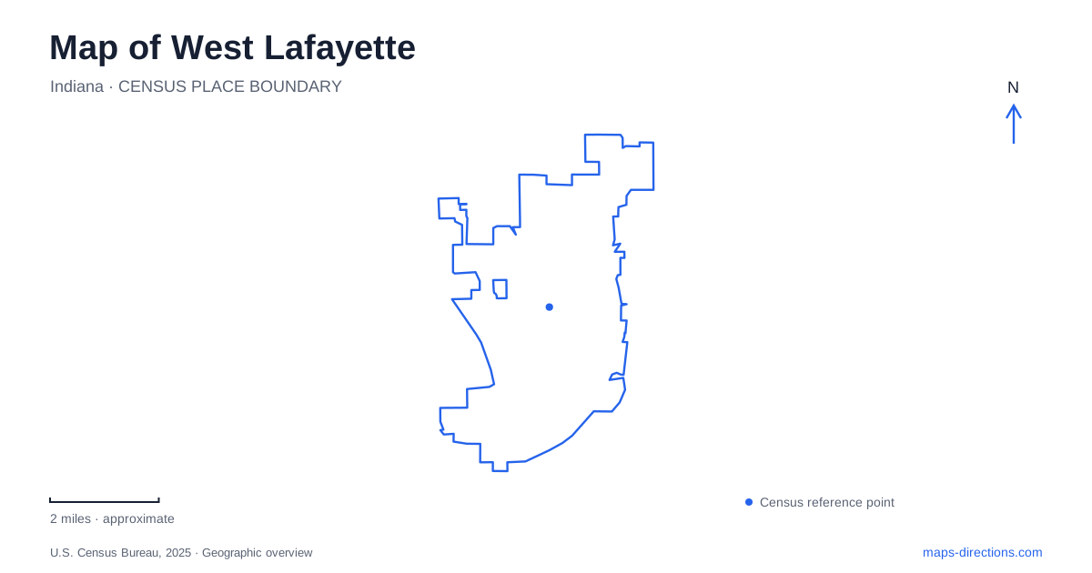
Street tiles load from OpenStreetMap when opened. The blue line shows the 2025 Census boundary.
- State
- Indiana
- Population · July 2025
- 45,747
- Land area
- 13.7 sq mi
- Water area
- 0.2 sq mi
West Lafayette’s map is shaped by more than the university campus. The Wabash River forms a strong geographic reference, Happy Hollow follows a wooded creek valley, and Celery Bog preserves a wetland landscape with a history of cultivation. Purdue adds a dense network of named buildings and campus streets within that broader setting. Keeping these features together helps distinguish a university visit from a riverfront walk or an outing through the city’s natural areas.
The riverfront and the crossing to downtown
Tapawingo Park occupies the west bank of the Wabash River at 100 Tapawingo Drive. The John T. Myers pedestrian bridge connects this side of the river with downtown Lafayette. That crossing is a particularly useful map feature because the two city names are similar, but their downtown spaces occupy different sides of the water.
The park includes the Brown Street Overlook, Myers Bridge Plaza, Riverside Skating Center, and a section of the Wabash Heritage Trail. These give the riverfront several functions: a place to look across the water, a crossing point, a recreation destination, and a route along the bank. The bridge and the trail should therefore be read as different movements through the same setting—across the river and alongside it.
For a first understanding of West Lafayette, this riverfront establishes a clear edge and connection. The lowland setting also matters. The city’s parks planning identifies portions of Tapawingo and the riverside trail within the floodplain, so a permanent mapped path does not establish uninterrupted access during high water. The river is both a scenic feature and an active influence on the ground around it.
Finding a specific place at Purdue
Purdue’s campus requires a closer map scale than the riverfront overview. Grant Street and State Street are useful references around the university’s central visitor area. The Grant Street parking garage is at 120 North Grant Street, across from the Purdue Memorial Union. This relationship links a recognizable arrival facility with a major campus building.
A university destination should be identified by its actual building name. “Purdue” covers too much ground to serve as a precise endpoint, and a campus map often uses building abbreviations that a general street map does not display. Keeping the university’s building labels beside the surrounding roads makes a trip easier to interpret, particularly when the final portion is on foot.
West Lafayette’s campus and city maps answer different questions. The street map explains the approach through town; the campus map explains the arrangement of individual halls, paths, and garages. Both are useful, but neither should be asked to substitute for the other at every scale.
A former trolley route through Happy Hollow
Happy Hollow Park is set in the valley of a creek flowing toward the Wabash. Its steep sides and changing valley width influence the arrangement of paths, shelters, and play areas along a central spine. The park’s address is 1301 Happy Hollow Road, but its elongated terrain is more informative than the address alone.
The paved Trolley Line Trail occupies part of the former Lafayette Street Railway route, whose operations ended in 1940. Today, that approximately one-mile section offers a wooded walking and bicycle route connected with the Wabash Heritage Trail. Other footpaths extend through the park, so the entire trail network is not a single paved circuit.
This is a distinctive part of West Lafayette’s landscape: an old transport alignment now serves recreation within a creek valley. The trail’s continuity and the valley’s shape explain why the park looks different from a conventional square of lawns and sports fields. Its history is visible in the route itself, not only in a commemorative sign.
Wetland geography at Celery Bog
Celery Bog Nature Area, at 1620 Lindberg Avenue, includes wetlands, woodland, savanna, and prairie. Its name recalls early twentieth-century farming, when parts of the land were drained for celery cultivation. As that use declined, the area returned to wetland conditions and was subsequently protected and restored.
The preserve has both paved trails and natural paths, with observation decks and the Lilly Nature Center adding opportunities to study the landscape. Bicycles are restricted to the paved routes, a useful distinction when comparing the lines on a trail map. The marsh is a conservation setting rather than a lake for boating or swimming.
Read West Lafayette through these connected but different geographies: a river crossing at Tapawingo, named campus destinations around Grant and State, a former trolley alignment within Happy Hollow, and restored wetland at Celery Bog. Together they explain how education, transportation history, and water-shaped land contribute to the city’s layout.
Map and statistics: U.S. Census Bureau, 2025 Gazetteer, January 2025 generalized place boundaries and Vintage 2025 population estimates. Local references: City of West Lafayette; Purdue University. Article prepared by Maps & Directions.