Map of West Haven
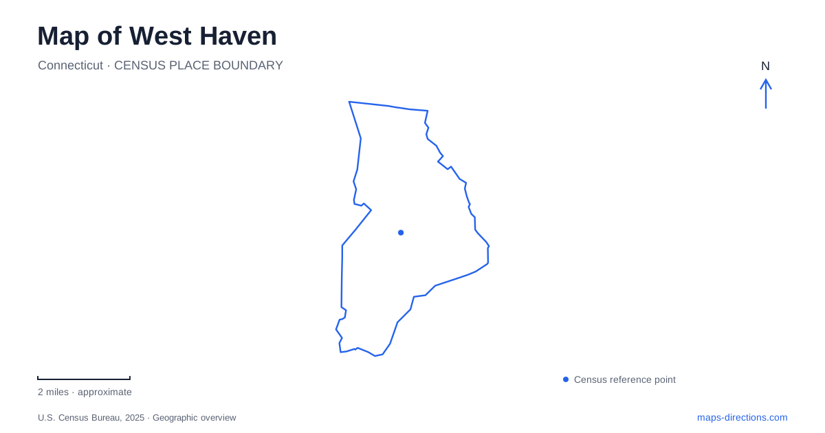
Street tiles load from OpenStreetMap when opened. The blue line shows the 2025 Census boundary.
- State
- Connecticut
- Population · July 2025
- 55,351
- Land area
- 10.8 sq mi
- Water area
- 0.2 sq mi
West Haven faces Long Island Sound, but its map is more than a line of beaches. The shoreline, the downtown Green, and the university district occupy different settings connected by roads such as Campbell Avenue and Boston Post Road. Interstate 95 supplies the regional approach across the city, while streets nearer the water follow the shape of the coast. Reading inland and coastal destinations separately helps explain why a university visit, an afternoon at Bradley Point, and a civic appointment require different local routes.
A coast with several characters
The public shoreline is a sequence of places with different uses. Bradley Point is associated with picnicking and coastal views, while Sandy Point at the eastern end is a sand spit and bird sanctuary. The latter is recognized as an Important Bird Area and forms part of the Connecticut Coastal Birding Trail. Its marsh and shorebird habitat make it a different destination from an ordinary swimming beach.
Captain Thomas Boulevard and Beach Street provide the most useful shoreline road references. The city's directions connect Sawmill Road and Campbell Avenue with Captain Thomas Boulevard, then continue along Beach Street toward Sandy Point. Bradley Point also carries a historical association: British troops landed in this area on July 5, 1779. The shore therefore combines recreation, wildlife habitat, and a Revolutionary War landscape within a relatively compact stretch of coast.
Savin Rock before the present waterfront
Savin Rock explains much of the cultural geography of West Haven. The waterfront was once an amusement destination with rides, restaurants, hotels, and theaters. The city's harbor management history describes the early twentieth-century White City entertainment area and a ballpark associated with the surrounding streets. These were substantial attractions, not simply an older name for today's beach path.
Storms repeatedly altered that landscape. The hurricane of 1938 destroyed much of the amusement development south of Beach Street, including the Thunderbolt roller coaster that extended into the Sound. Amusements continued afterward, but historical photographs depict a built waterfront very different from the present one. Old Grove Park now hosts the annual Savin Rock Festival, maintaining the connection through a community event. When reading an old map, distinguish amusement-era structures from surviving street names and public spaces; they describe different stages of the same shoreline.
Downtown and the older settlement
The Green provides an inland historical reference for West Haven. Its Armistice Monument was dedicated in 1928 to residents who died in World War I, placing civic remembrance within the downtown landscape. City Hall is at 355 Main Street, while the historical society's Poli House headquarters is at 686 Savin Avenue. Those named destinations give a more concrete introduction to the center than a broad downtown label alone.
The settlement's administrative history also explains older map labels. The area was known as West Farms, became a separate parish in 1719, and joined North Milford to form the town of Orange in 1822. It separated from Orange in 1921 and later became a city in 1961. An Orange reference in a historical document may therefore describe land within the present community. These changing boundaries matter when tracing a property, family address, or early route through the area.
The university above Boston Post Road
The University of New Haven's name can obscure its location for a first-time visitor: its main campus is in West Haven, at 300 Boston Post Road. The institution moved here in 1960. Its hilltop setting overlooks the neighboring city skyline and has views toward Long Island Sound, giving it a different physical character from the lower shoreline recreation areas.
The university's directions place the main approach at Boston Post Road, which is Route 1, reached from Campbell Avenue. A trip that passes the campus along Campbell still has to follow the road arrangement up to the main entrance. For an appointment, the university's own campus map distinguishes buildings, parking areas, and athletic venues within the broader property. This is especially useful because a single street address covers a campus rather than one roadside building.
Connecting inland and coastal visits
A map of West Haven works best when Campbell Avenue is read as a connection between districts, not as a substitute for a destination. A route north toward Boston Post Road leads into the university setting; a journey toward Captain Thomas Boulevard leads to the shore. Main Street and Savin Avenue locate civic and historical stops between those broader reference points. This arrangement makes it possible to understand the city as several connected places: an older settlement, a hilltop educational campus, and a waterfront whose amusement history still shapes its identity. Each has its own landmarks and a distinct reason to explore beyond the highway exit.
Map and statistics: U.S. Census Bureau, 2025 Gazetteer, January 2025 generalized place boundaries and Vintage 2025 population estimates. Local references: City of West Haven; University of New Haven. Article prepared by Maps & Directions.