Map of West Fargo
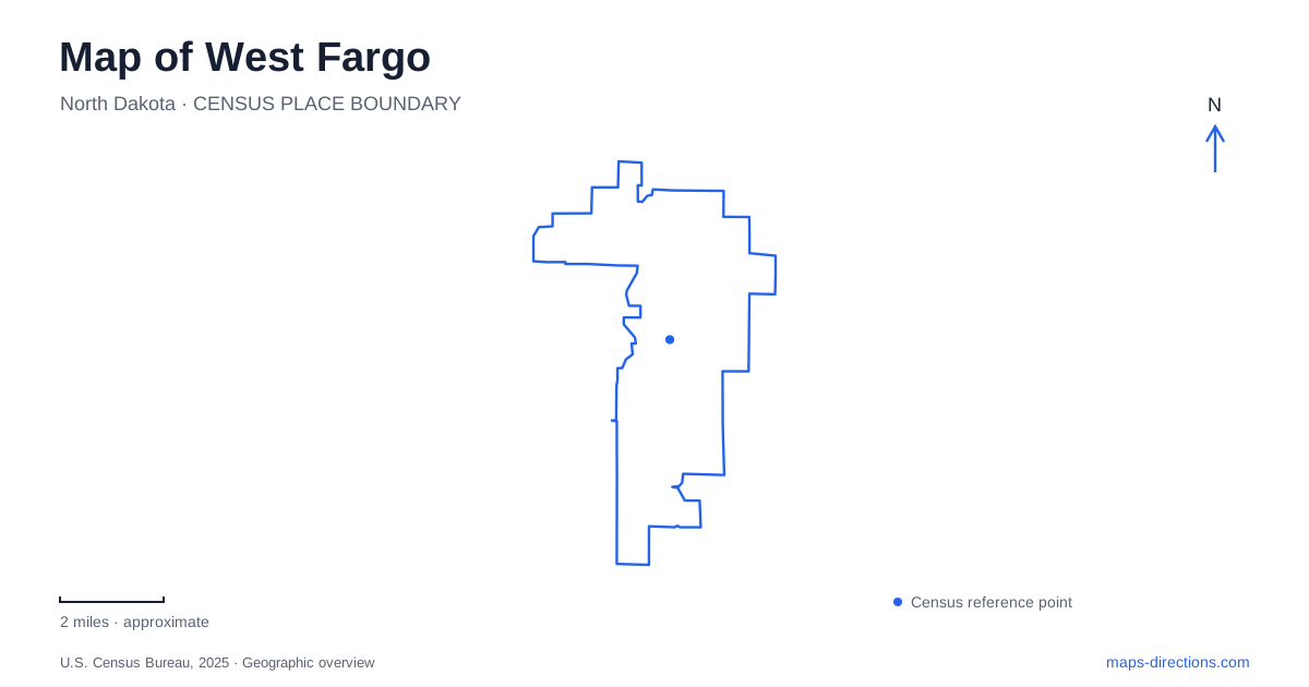
Street tiles load from OpenStreetMap when opened. The blue line shows the 2025 Census boundary.
- State
- North Dakota
- Population · July 2025
- 41,175
- Land area
- 16.2 sq mi
- Water area
- 0.2 sq mi
West Fargo has an older center around Main Avenue and Sheyenne Street, with substantial neighborhoods and recreational destinations extending farther south. The Sheyenne River adds another organizing line, winding through a landscape whose early growth depended on rail access and agricultural industry. A useful map brings those different periods into view instead of treating the city simply as the western edge of a larger metropolitan area.
A community assembled across Main Avenue
The city's history begins with Haggart, a railway stop where the Northern Pacific crossed the Sheyenne River. Meatpacking later became an important industry, and the Equity company built worker housing before Armour took over its plant in the 1920s. Industry and housing developed together, giving the settlement a more specific origin than a conventional residential suburb.
The communities on opposite sides of Main Avenue initially incorporated separately. The northern village formed in 1930; Southwest Fargo followed in 1937 on the southern side of the highway. Names and municipal status changed afterward, and the northern community eventually became Riverside. The two cities merged in 1989.
This history helps explain why older documents can use several names for places now within West Fargo. Main Avenue was more than a traffic route: it separated communities with distinct governments. The modern city map combines areas that were once administered independently, so a historical label need not correspond to a present municipal boundary.
Reading the downtown district
The city's downtown planning area focuses on Sheyenne Street and, to a lesser extent, Main Avenue. A municipal planning brief identifies Armour Park to the north, the public library to the east, Eighth Avenue West to the south, and the Sheyenne River to the west as general limits of its study area.
Those reference points provide a practical frame for the older center. They describe a district extending beyond one intersection, with nearby residential blocks and public facilities included in its context. The river is especially helpful as an orientation feature because it follows its own course rather than the numbered street pattern.
Armour Park is listed by the park district at 401 Second Avenue Northwest. Its location places it in the northern part of this older landscape. The name also echoes the industrial history associated with the packing company, while the public park supplies a present-day landmark for a part of town whose earlier economic functions have changed.
Regional history along Main Avenue West
Bonanzaville, at 1351 Main Avenue West, offers another way to explore West Fargo's surroundings. The Cass County Historical Society owns and operates the museum and village on a twelve-acre site. Its collection of buildings presents the lives, possessions, and challenges of earlier regional residents.
The outdoor village should be understood as an interpretive collection, rather than as an intact original downtown that happened to survive unchanged. Its purpose is to bring several aspects of regional history together. That makes the Main Avenue address the beginning of a visit in which much of the exploration happens on foot within the museum grounds.
The historical society's account connects the site's development with the Red River Valley Fair's invitation to create a pioneer village at the fairgrounds. The name draws on the large bonanza farms of early Cass County. Agricultural history therefore appears here through both the site's title and the stories presented in its buildings, complementing the city's railway and meatpacking background.
Rendezvous and the southern recreation network
Rendezvous Park occupies a different setting in West Fargo at 1055 Thirty-second Avenue West. The park district lists baseball fields, playgrounds, basketball, disc golf, a skate park, and walking and cycling paths among its facilities. This is a broad recreation destination with several activity areas rather than a small downtown green.
The state tourism description identifies a loop around open grass and baseball diamonds, with connections toward Eagle Run Park and Fortieth Avenue West Park. Those links are useful for understanding the park as part of a neighborhood network. An outing can follow the internal loop or use the connecting paths to extend beyond the main grounds.
Open shelters and picnic areas also support a slower visit alongside the more active facilities. The mixture of fields, paths, and gathering places gives the park several recognizable zones. On a map, the trail connections explain more about its relationship to surrounding neighborhoods than the park boundary alone.
Seen together, Main Avenue, Sheyenne Street, the river, Bonanzaville, and Rendezvous reveal different parts of West Fargo's development. The older district records separate communities and industrial origins; the museum interprets the region's agricultural past; and the southern parks show how recreation is woven into the later residential landscape.
Map and statistics: U.S. Census Bureau, 2025 Gazetteer, January 2025 generalized place boundaries and Vintage 2025 population estimates. Local references: City of West Fargo; West Fargo Park District; Cass County Historical Society; North Dakota Tourism. Article prepared by Maps & Directions.