Map of West Allis
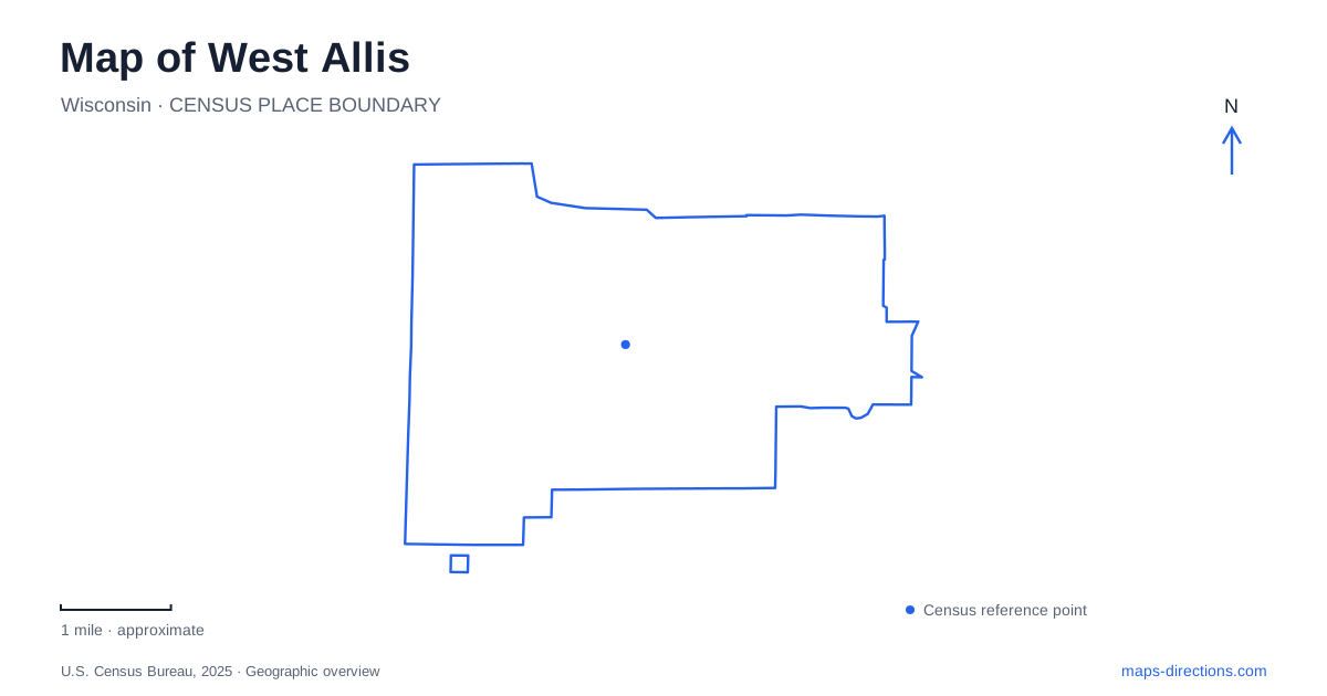
Street tiles load from OpenStreetMap when opened. The blue line shows the 2025 Census boundary.
- State
- Wisconsin
- Population · July 2025
- 60,119
- Land area
- 11.4 sq mi
- Water area
- 0.0 sq mi
West Allis has several places that visitors may loosely call the center of town, but they occupy different settings. Downtown follows Greenfield Avenue, the farmers market stands on National Avenue, and Wisconsin State Fair Park fills a large site farther west. The Hank Aaron State Trail adds another route through the area, connecting local destinations with the wider Milwaukee landscape. Keeping these four elements distinct produces a useful map without requiring a long list of neighborhood names.
Greenfield Avenue and the downtown blocks
Greenfield Avenue is the historic downtown corridor. The business district's office is on the avenue, and civic references such as City Hall also use its address line. Numbered north–south streets help identify positions along the corridor, providing an easy way to compare destinations several blocks apart.
Public art adds specific landmarks within that street pattern. The city documents a large mural at 7400 West Greenfield and another at 7506 West Greenfield. These works occupy different buildings but belong to the same stretch of downtown. Their addresses make the relationship legible, while the art supplies a memorable feature beyond a shop or street number.
For a map of West Allis, Greenfield Avenue offers a clear starting framework. A downtown walk can be organized along the avenue and its cross streets, with individual buildings forming the stops. This is a street-based district with adjoining businesses and civic uses, quite different from the internally organized grounds of the state fair site. Both may host events, but they should not be treated as one shared campus.
National Avenue and the market setting
The farmers market is at 6501 West National Avenue. Its location belongs to another named corridor, separate from the downtown Greenfield address sequence. The market features Wisconsin growers and makers, giving it a distinct purpose within the city's public gathering places.
The street address is especially helpful because a general search for a market can mix regular produce sales with special events and other local businesses. Here the physical site remains the reference point. National Avenue and the nearby numbered streets establish where the market sits, while the market's own identity distinguishes it from the Greenfield shopping district.
Visitors exploring West Allis can therefore group activities with a more accurate sense of scale. A market visit and a downtown stroll may form parts of the same day, but they begin in separate street environments. The map should show the connection between National and Greenfield rather than suggesting that the market is simply another storefront on the main downtown strip. That small distinction makes directions and meeting arrangements considerably clearer.
State Fair Park is a district-sized destination
Wisconsin State Fair Park is bounded by major references including South Eighty-fourth Street, South Seventy-sixth Street, Greenfield Avenue, and Kearney Street. Its official grounds map shows the Milwaukee Mile, Exposition Center, livestock buildings, and other venues within that perimeter. A single park marker therefore compresses an extensive internal landscape.
The Eighty-fourth Street address is useful for identifying the complex, but a particular event may use a named gate or building on another side. The grounds have internal streets and separate activity areas, so the perimeter road and the venue name work together to establish the destination. This is a concrete consequence of the site's size, rather than merely a matter of following more detailed instructions.
On a West Allis map, the fairgrounds should remain a recognizable large block with its surrounding streets visible. The Milwaukee Mile and exhibition buildings occupy different parts of it. Understanding that arrangement helps explain why two events using the same general mailing address can involve different approaches and different portions of the grounds.
The trail provides another east–west connection
The Hank Aaron State Trail passes through the fair-park area between Seventy-sixth and Eighty-fourth streets. Wisconsin's natural-resources department identifies the route as part of a wider connection linking major Milwaukee landmarks, including the lakefront, baseball-stadium area, State Fair Park, and the Pettit National Ice Center.
Its relationship with the fairgrounds is unusually important. The state has temporarily closed that section during the annual fair, with an alternate route, because the trail passes through the event's secured perimeter. This history explains why a regional trail line and a major event site cannot always be understood independently. The physical route belongs to a broader network while also crossing a particular managed property.
For an overall view of West Allis, use the avenue corridors for local destinations and the trail for regional context. Greenfield explains downtown, National identifies the market, and the numbered perimeter streets explain the fairgrounds. The trail then connects those local map ideas with a larger east–west landscape. Each layer serves a different purpose and makes the city's geography easier to read.
Map and statistics: U.S. Census Bureau, 2025 Gazetteer, January 2025 generalized place boundaries and Vintage 2025 population estimates. Local references: City of West Allis; West Allis Downtown BID; Southwest Suburban Health Department / municipal market; Wisconsin State Fair Park; Wisconsin DNR. Article prepared by Maps & Directions.