Map of Weslaco
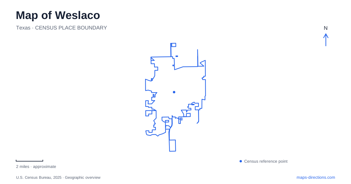
Street tiles load from OpenStreetMap when opened. The blue line shows the 2025 Census boundary.
- State
- Texas
- Population · July 2025
- 44,203
- Land area
- 16.9 sq mi
- Water area
- 0.1 sq mi
Weslaco contains an unusual range of landscapes within a relatively concentrated area: historic civic infrastructure, a museum on South Texas Boulevard, small urban habitat preserves, and extensive restored wetlands farther south. Water connects several of these stories. It supported municipal development, shapes the habitat at Estero Llano Grande State Park, and helps distinguish the city's birding sites from ordinary neighborhood green spaces. A detailed map makes those different scales visible.
The tower records two stages of water storage
The historic water-storage site on South Kansas Avenue began with a ground-level reservoir built in 1928, nine years after the city's founding. The Texas Historical Commission associates the project with municipal improvements under Mayor David Kirgan and water commissioner William Detlef. Its significance lies in the expansion of public infrastructure during the community's early development.
Work on the adjacent elevated tank began in 1938, and the Works Progress Administration project was completed in 1941. These dates refer to separate structures and phases of investment. The older reservoir and later overhead tank should therefore be understood as a small infrastructure complex, rather than as one object with an uncertain construction year.
In central Weslaco, the tower serves as a visible reminder that supplying a growing town required investment beyond laying out streets and building shops. Its position among the urban blocks links the skyline landmark to the practical systems that allowed those blocks to function.
History and habitat share a boulevard
The city museum at 500 South Texas Boulevard collects and interprets local history, cultural arts, and traditions. Farther along the same boulevard, Frontera Audubon occupies a fifteen-acre property at 1101 South Texas Boulevard. The shared street connects two very different forms of preservation: collections inside a museum and living habitat maintained within the developed city.
Frontera includes thicket trails, wetlands, gardens, and the historic Skaggs House. Its landscape did not simply survive untouched while streets grew around it. The organization's account describes an abandoned grapefruit orchard and areas of invasive vegetation that were gradually reshaped through planting, land donations, and conservation work.
The early effort also changed local policy. After a notice threatened clearance of a small habitat parcel as overgrown land, supporters developed a habitat ordinance, adopted in 1990. It allowed approved wildlife habitat to be treated differently from ordinary neglected lots. That episode helps explain why dense vegetation within Weslaco can represent deliberate conservation rather than a space awaiting development.
A six-acre teaching landscape
Valley Nature Center provides another urban example at 301 South Border Avenue. Its six acres of native habitat grew from a volunteer effort to reclaim a vacant lot. Trails and environmental education programs introduce the plants and animals of the Lower Rio Grande Valley at a scale that can be explored within the city.
The center emphasizes native plants and the habitat they provide. This focus makes the site more than a scenic walking area: vegetation, insects, birds, and other animals are interpreted as parts of a connected local environment. The smaller acreage also encourages close observation, with changes in planting and cover becoming significant over short distances.
Together with Frontera, it demonstrates that regional ecology is not confined to large protected areas. Separate parcels within the street network can offer habitat and opportunities to learn about it, even where a citywide map shows mainly roads and built-up blocks.
Restored wetlands at Estero Llano Grande
Estero Llano Grande State Park occupies a much larger setting at 3301 South International Boulevard, also identified as FM 1015. Texas Parks and Wildlife describes its approximately 230 acres as the largest wetland environment in the World Birding Center network. Former agricultural land was restored through cooperation among public agencies and conservation partners.
Four constructed ponds with different depths and intermittent mudflats provide varied feeding and shelter conditions. Native plants were also reintroduced. This explains why the wetland pattern is so important on the park map: differences in water depth and vegetation create distinct habitats, rather than a uniform expanse of open water.
For Weslaco, the park adds a landscape shaped both by the Gulf Coast migration pathway and by the northern limits of tropical species' ranges. Woodland and thorn scrub complement the ponds, giving different birds different kinds of cover. Species recorded here include common pauraques, white-tailed kites, and roseate spoonbills, although any particular sighting depends on season and conditions.
Cars remain at the headquarters parking area; exploration inside is on foot or by bicycle. That arrangement makes the trail system central to the visit. On a map of Weslaco and its southern surroundings, the transition from South International Boulevard to the park's paths marks a clear change from the urban road network to a landscape organized around habitat and observation.
Map and statistics: U.S. Census Bureau, 2025 Gazetteer, January 2025 generalized place boundaries and Vintage 2025 population estimates. Local references: Texas Historical Commission; Weslaco Museum; Frontera Audubon; Valley Nature Center; Texas Parks and Wildlife Department. Article prepared by Maps & Directions.