Map of Wentzville
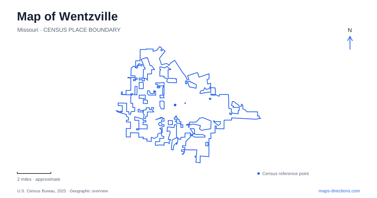
Street tiles load from OpenStreetMap when opened. The blue line shows the 2025 Census boundary.
- State
- Missouri
- Population · July 2025
- 49,495
- Land area
- 22.0 sq mi
- Water area
- 0.0 sq mi
Wentzville's map combines two different transportation eras. The old town follows a railroad, with compact blocks on either side, while the meeting of Interstate 70 and US 61 established a much larger regional crossroads. Pearce Boulevard connects the historic commercial landscape with later development. Beyond it, parks on William Dierberg Drive, Point Prairie Road and West Meyer Road form separate recreation destinations, each with a different arrangement of fields, water and open space.
A town laid out beside the tracks
William M. Allen laid out the settlement in 1855 as a narrow strip seven blocks long along the railroad right-of-way. The first train arrived in 1857, following construction through the area the previous year. Erasmus Livingston Wentz supervised the railway work and helped survey streets and lots; the town received his name. This origin explains why the tracks are central to the street pattern rather than simply passing along its edge.
Allen Street lies north of the railway, while Main Street defines much of the commercial frontage to the south. Linn Avenue is one of the useful cross-street references within that compact district. The arrangement makes historic Wentzville legible as a railroad town: parallel streets served the line, and short connecting blocks brought homes and businesses toward it. Tobacco growing and processing also shaped the early economy, although the former tobacco factories should not be assumed to remain as visitor attractions.
Pearce Boulevard and the highway scale
The city's transportation study describes successive commercial landscapes. Older downtown blocks gave way to strip development westward along Pearce Boulevard, followed by larger retail formats along the parkway. That difference is visible in the amount of space devoted to buildings, setbacks and parking. A downtown stop and a shopping-center stop can therefore involve very different walking distances even when both are described as central destinations.
At the regional scale, the I-70 and US 61 junction underlies the city's crossroads identity. For a map of Wentzville, it is useful to retain both scales at once: the highway junction explains the broader approach, while the railway, Main Street and Pearce Boulevard explain the older local center. The interchange itself is not the historic downtown, and the commercial areas spreading from these transportation corridors do not all share the same street pattern.
A memorial on West Pearce
Fireman's Park occupies 203 West Pearce Boulevard, beside the area associated with the former fire station. The station built at number 209 in 1959 moved elsewhere in 2017, but the park retained its name. Its memorial began with a community effort in December 1967 to send Christmas gifts to local servicemen in Vietnam. A monument accompanied the original tree of lights, and the memorial later acquired a permanent granite form.
Today the red Missouri granite column, topped by an eagle, is the important visual reference. The five-acre park also contains a pavilion and outdoor recreation facilities. This combination of civic remembrance and everyday park use distinguishes the site from the city's larger athletic complexes. Its Pearce Boulevard setting makes it part of the older urban landscape, rather than an isolated memorial reached only through a regional park.
Heartland's playground and water landscape
Heartland Park at 100 William Dierberg Drive combines athletic fields with Jake's Field of Dreams, a playground designed to include children with disabilities. Two pavilions stand beside the playground. Synthetic and natural-grass fields serve several sports, while a walking trail, wetland area and retention basin add a water-management landscape to the recreation grounds.
This is a useful example of how Wentzville's newer parks perform several functions in one place. A field reservation, a playground gathering and a walk may all use the same park address, but they occupy distinct spaces within it. The basin and wetlands are also part of the site's infrastructure; they are not simply ornamental gaps between sports facilities.
Two larger park outings
Peruque Valley Park lies at 1335 South Point Prairie Road. Four completed ball fields, trails and stormwater bioswales are established features. The city's description separately identifies future phases, including additional outdoor learning and recreation facilities. The Dockler Four-Plex opens for rentals, leagues or programs, so the field complex does not operate as an unrestricted drop-in play area.
Rotary Park at 2577 West Meyer Road offers a different layout: 72 acres, a five-acre fishing lake, a 1.3-mile nonmotorized trail, an amphitheater and event facilities. It hosts the county fair, Renaissance Faire and holiday light activities. Ordinary vehicle access closes from October 31 through February for light-display work, making seasonal arrangements material to a visit. Together, the railway district, memorial, inclusive playground and event park show Wentzville as several connected local landscapes rather than one interchangeable suburban destination.
Map and statistics: U.S. Census Bureau, 2025 Gazetteer, January 2025 generalized place boundaries and Vintage 2025 population estimates. Local references: City of Wentzville. Article prepared by Maps & Directions.