Map of Wellington
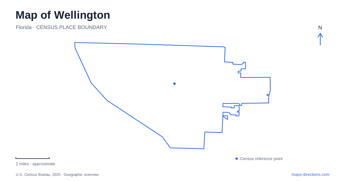
Street tiles load from OpenStreetMap when opened. The blue line shows the 2025 Census boundary.
- State
- Florida
- Population · July 2025
- 62,662
- Land area
- 45.1 sq mi
- Water area
- 0.4 sq mi
Wellington is shaped by several overlapping landscapes: a civic and event area along Forest Hill Boulevard, recreation facilities on Pierson Road, an extensive equestrian trail system and wetlands that also perform water-management work. These are not simply variations of the same suburban park. A useful map should distinguish roads, bridle paths, pedestrian routes and water features before combining them into an itinerary. The named destination matters particularly here because the word preserve can refer to an equestrian planning area or a specific environmental facility.
Forest Hill Boulevard is the civic reference
The village lists its amphitheater at 12100 Forest Hill Boulevard and the Town Center Promenade at 12150 Forest Hill Boulevard. Village Hall is listed at 12300 on the same road. Together these addresses form a recognizable civic cluster, but each identifies a separate purpose: an event venue, a promenade and a municipal building.
For an appointment or event in Wellington, use the particular destination rather than a generic town-center search. The nearby addresses are helpful for understanding the area, yet they do not establish one shared entrance or a single pickup location. An event invitation may provide additional arrival instructions. Keep those alongside the street address so that the final approach matches the activity instead of simply ending at the first civic label on the map.
Pierson Road combines sports and a sanctuary
Village Park's athletics complex is listed at 11700 Pierson Road. Peaceful Waters Sanctuary lies inside the park, according to the municipal recreation department. The sanctuary has a wetland setting with elevated boardwalks and walking trails. This is a useful relationship to understand: a nature outing and a sports visit can share a larger site identity while needing different internal destinations.
The map of Wellington should therefore retain Peaceful Waters as a specific feature, not replace it with a broad sports-complex pin. Likewise, someone attending a game should locate the assigned field or pavilion instead of following a path toward the sanctuary. Start with Pierson Road for the external approach, then use the facility map to resolve the last part of the visit. The shared address is an orientation aid rather than a complete set of directions.
Section 24 describes a different environmental site
The environmental preserve at the Marjory Stoneman Douglas Everglades Habitat is also identified as Section 24. The village lists it at 3491 Flying Cow Ranch Road. Its explanation of the site emphasizes rainwater storage and cleansing before water continues through the canal system toward the Everglades. Trails, learning areas, a boardwalk and an observation tower allow visitors to experience a landscape with a working environmental purpose.
That purpose changes how its map should be read. A canal or wetland edge is not an alternative public route merely because it appears as a continuous line. Follow the designated visitor network and locate the correct entrance. The tower is a useful destination within the preserve, but a point placed directly on it cannot describe the road approach or the path from the parking area.
Equestrian trails are a distinct map layer
The village maintains named and color-coded bridle paths, including Greenbriar Trail and routes designated by colors such as Blue, Red and Yellow. Its equestrian information describes multiple recreational uses within the wider trail system. That does not mean every nearby driveway, farm lane or open parcel forms part of the public network.
When planning a Wellington outing involving those trails, consult the designated trail map rather than joining attractive-looking lines from an ordinary street view. A road, a riding route and a pedestrian boardwalk carry different meanings even when they meet in the same area. Choose the appropriate connection for the activity and retain its official name. This is especially helpful near equestrian properties, where the visual openness of the landscape is not evidence of public access.
Keep the two meanings of preserve separate
An equestrian preserve area describes a broader planning landscape associated with horse-related uses. The environmental preserve on Flying Cow Ranch Road is a particular visitor destination with its own facilities. Peaceful Waters is another named sanctuary within Village Park. Searching simply for a preserve can obscure all three distinctions.
A coherent map of Wellington starts with these separate anchors and then connects them: Forest Hill Boulevard for civic destinations, Pierson Road for Village Park and its sanctuary, Flying Cow Ranch Road for Section 24, and the official bridle-path network for equestrian recreation. This framework lets a visitor understand why two places with similar descriptions can require quite different approaches. It also keeps the water-management landscape visible without turning canals, private land or facility boundaries into invented shortcuts.
Map and statistics: U.S. Census Bureau, 2025 Gazetteer, January 2025 generalized place boundaries and Vintage 2025 population estimates. Local references: Village of Wellington. Article prepared by Maps & Directions.