Map of Wauwatosa
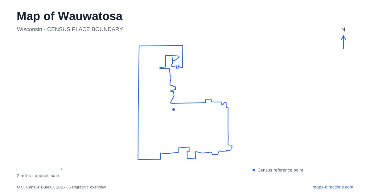
Street tiles load from OpenStreetMap when opened. The blue line shows the 2025 Census boundary.
- State
- Wisconsin
- Population · July 2025
- 48,649
- Land area
- 13.2 sq mi
- Water area
- 0.0 sq mi
Wauwatosa’s historic center developed around the Menomonee River, mills, and routes crossing the water. That origin remains useful when reading the Village today: Harwood Avenue, State Street, nearby public greens, and the river corridor belong to the same historical setting. Farther afield, a preserved residential estate and several different park landscapes expand the local picture. The city is more than a continuation of Milwaukee’s street grid; its own center reflects a particular meeting of waterpower, trade, and transportation.
Hart's Mills and the Village
Charles Hart established mills on the west side of the river in 1835, giving the settlement its early name, Hart’s Mills. A military road followed in 1836, and a bridge across the river in 1837 strengthened the site’s transport role. The combination helps explain why the historic center took shape here rather than at a later highway interchange.
Root Common preserves a small green-space reference within this older pattern. The municipality identifies it at the meeting of Harwood and the avenue carrying the city’s name, alongside a separate Pocket Park. These small spaces work at a different scale from the larger river parks. They are pauses within the commercial and pedestrian setting rather than destinations for a full sports outing.
The Village name describes the historic center of Wauwatosa. It should not be mistaken for a separate present-day municipality when comparing addresses elsewhere in the city.
A small store with several working lives
The Little Red Store dates to 1854. Although its builder originally intended a blacksmith shop, its first use was residential; groceries, tools, medicine, a post office, and a circulating library subsequently became part of its history. Later trades occupied the building as the surrounding community changed.
Its survival is especially notable because it escaped the destructive Village fire of 1895. In 1955 the structure was shifted a short distance west and connected to an old power plant; that later addition was eventually removed. The building therefore preserves an unusually long commercial history without remaining entirely unchanged in position or form.
The historical society records serious flood damage in August 2025 and the subsequent restoration effort. That episode connects the building’s history with its river setting. A historic map and a current photograph tell only part of the story unless the changes, repairs, and environmental risks are also understood.
A house and grounds on Hillcrest Drive
The Kneeland-Walker House at 7406 Hillcrest Drive presents another kind of local history. Built in 1890 in the Queen Anne style, it belonged to two families before the historical society acquired the property in 1987. The grounds include the main residence, coach house, and gardens, giving the site a domestic scale distinct from the small commercial store.
Inside, different periods remain visible. Original doors and woodwork coexist with later changes, including a kitchen remodeled in 1947. The house is consequently useful for understanding how a family property adapted over time, rather than imagining that every room represents one perfectly preserved year.
For Wauwatosa visitors, the society’s appointment and event arrangements matter when planning access. The address identifies a managed historic property, not an ordinary public park open for unrestricted interior visits.
Hart Park's active river landscape
Hart Park is listed at 7300 Chestnut Street and extends across fifty-two acres. Athletic fields, a track, courts, playgrounds, a splash pad, a concert stage, and a skate park support several kinds of recreation. The Muellner Building also accommodates senior activities, adding an indoor community role to the outdoor grounds.
The park’s scale means that its general address is only the first step in arranging a meeting. A performance, a court booking, and a senior program point to different parts of the site. Municipal parking information likewise distinguishes the Chestnut Street lot from the lot on Hart Park Lane. Those details are more useful for arrival than treating the whole park as one pin.
Hoyt's trails and the broader parkway
Hoyt Park at 1800 Swan Boulevard belongs to the Milwaukee County park system. Its map distinguishes the paved Oak Leaf Trail from the Forked Aster hiking route, while the county separately describes a roughly two-mile mountain-bike loop beside the river. These route types serve different users and should not be collapsed into a single generic path.
Wauwatosa’s river landscape thus supports both historical interpretation and present-day recreation. The Village explains the importance of the original crossing and mills; the Little Red Store records commercial change; the Hillcrest estate preserves domestic history; and Hart and Hoyt provide different public outdoor settings. A map of Wauwatosa becomes more useful when these individual places remain distinct within the larger Menomonee corridor.
Map and statistics: U.S. Census Bureau, 2025 Gazetteer, January 2025 generalized place boundaries and Vintage 2025 population estimates. Local references: City of Wauwatosa; Wauwatosa Historical Society; Milwaukee County Parks. Article prepared by Maps & Directions.