Map of Wausau
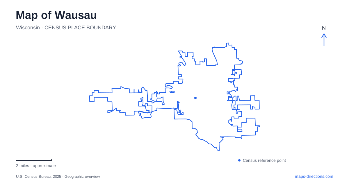
Street tiles load from OpenStreetMap when opened. The blue line shows the 2025 Census boundary.
- State
- Wisconsin
- Population · July 2025
- 40,188
- Land area
- 19.2 sq mi
- Water area
- 1.1 sq mi
Wausau grew around the Wisconsin River, and the water still provides the clearest starting line for understanding the city. Logging and papermaking depended on this corridor, while later commercial development established a downtown street network beside it. Public spaces now give that industrial geography a different use: a central square serves performances and gatherings, riverside paths bring people toward the water, and a nearby mountain offers a wider view of the same valley. These places reveal different scales of the city, from a single downtown block to the landscape beyond its streets.
A public square within the business district
The 400 Block occupies 1.3 acres at 401 North Third Street. Its small size is part of its usefulness: this is an outdoor room within downtown, with paved circulation, seating, an interactive fountain, and a stage equipped for performances. A winter skating rink adds a seasonal purpose to a space that otherwise reads as lawn, paths, and event infrastructure. On a map, it is a compact gathering point rather than an extensive woodland park.
The square also marks a change in how central land has been used. The city designated it a public square in 1998 following gifts and purchases. Nearby Third and Scott streets carry another piece of downtown history: Employers Mutual Liability Insurance began selling policies at that intersection in 1911. Together, the business address and public block help explain Wausau as both a commercial center and a place deliberately shaped for civic gatherings. The street grid is a record of those overlapping functions, rather than simply a framework around the river.
Following the river at ground level
Riverlife Park brings recreation directly into the Wisconsin River corridor. Its facilities include a playground, exercise stations, and a splash feature, while the adjacent trail follows the water. The city's recreation plan records the playground and exercise improvements from 2018 and a channel pedestrian bridge completed in 2016. Bicycle parking beneath Bridge Street shows how the riverside route fits around transportation structures instead of standing apart from them.
This stretch offers a different perspective from downtown's enclosed blocks. The water and trail provide continuity; bridges, play areas, and exercise equipment create recognizable stops along it. For a Wausau walking map, that relationship is useful because the river is both a visual reference and a destination with its own sequence of spaces. The path is not merely a way of passing the city: the park infrastructure makes the waterfront somewhere to spend time in its own right.
Art on North Twelfth Street
The Leigh Yawkey Woodson Art Museum stands at 700 North Twelfth Street, at Franklin Street. That address places a major cultural destination in a different part of the street network from the Third Street square. The museum opened to the public in September 1976, following its establishment as a legal entity in 1973. Its collection's emphasis on birds and the natural world gives the surrounding landscape a direct connection to what visitors encounter inside.
Outdoor sculpture is an important part of that experience. The Margaret Woodson Fisher Sculpture Garden opened in 1995, extending the museum beyond its galleries. Garden paths, a pond, and sculpture create a setting where the arrangement of the grounds matters alongside individual artworks. Wausau therefore has an art destination that can be understood as both a building and a designed outdoor place. Mapping only the front door would miss why the grounds belong in the description of the visit.
Quartzite above the valley
Nearby Rib Mountain State Park changes the scale again. The state park provides hiking, picnic areas, and views toward the city and Wisconsin River. Granite Peak's ski area occupies the mountain's north face. These are regional landscape destinations, so the mountain should be read alongside the urban map rather than treated as another downtown park.
The hill's resistance to erosion explains its prominence. Wisconsin's natural-resources agency describes a quartzite monadnock rising about 640 feet above its surroundings. On its south side, the Rib Mountain Talus Forest State Natural Area protects a rocky environment with second-growth forest, including maple, paper birch, red oak, and big-tooth aspen. That combination of durable bedrock, broken stone, and woodland differs sharply from the managed lawns and paths of the central square.
A map of Wausau becomes more informative when these settings remain distinct: the 400 Block concentrates civic activity, Riverlife follows the working river's modern recreational edge, the museum joins art with a garden, and Rib Mountain reveals the valley from above. Each contributes a different piece of the same place.
Map and statistics: U.S. Census Bureau, 2025 Gazetteer, January 2025 generalized place boundaries and Vintage 2025 population estimates. Local references: City of Wausau; Marathon County; Leigh Yawkey Woodson Art Museum; Wisconsin Department of Natural Resources. Article prepared by Maps & Directions.