Map of Watsonville
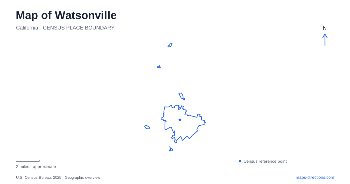
Street tiles load from OpenStreetMap when opened. The blue line shows the 2025 Census boundary.
- State
- California
- Population · July 2025
- 50,716
- Land area
- 6.8 sq mi
- Water area
- 0.1 sq mi
Watsonville's streets and open spaces tell a story of a downtown commercial center surrounded by working landscapes and freshwater wetlands. Main Street supplies the urban reference line, with the City Plaza and substantial historic buildings creating a recognizable center. Harkins Slough Road and Westridge Drive introduce another part of the city, where trails follow wetland edges close to neighborhoods and businesses. Green Valley Road leads toward Pinto Lake, where two different public parks share the same body of water.
Main Street and the plaza's surrounding blocks
The City Plaza is bounded by Main, East Beach, Union, and Peck Streets. Its bandstand, paths, trees, fountains, and monuments make it a gathering space with a long public history. A fountain was installed in 1880 and a bandstand in 1906, with later changes adding further layers to the landscape. The National Register listing recognizes the plaza as a historic place rather than simply an empty block in the street grid.
Restoration planning focuses on the historic gazebo and fountain. Those plans are useful background, but architectural renderings do not establish that the entire revitalization project has been completed. The enduring map reference is the plaza's position within the surrounding blocks and its role in downtown public life.
Across the commercial district, the Lettunich Building at 406 Main Street dates to 1914 and was designed by William H. Weeks. Its entrance arch incorporates images of local produce, making agricultural identity part of the building's decoration. That detail rewards a closer look at a facade that could otherwise appear merely as another large downtown commercial property.
The Mansion House at 420 Main Street began in 1871. It originally stood at Main and East Beach, then moved north in 1913 to make way for the Lettunich development. This is a useful reminder that the present position of a historic building may differ from its original site. A map of Watsonville records the surviving arrangement, while the building histories explain how that arrangement came about.
Trails among the freshwater sloughs
The city's wetland network has more than seven miles of trails with entrances distributed through neighborhoods. This pattern makes the sloughs part of daily urban geography rather than a distant reserve reached through one large gateway. Interpretive signs explain natural and cultural history along the routes, connecting the visible water and vegetation with conservation work.
The Harkins Slough Road access at number 30 provides a short walk toward Ohlone Parkway. Another recommended route starts behind the West Marine property at 500 Westridge Drive and follows the Ohlone Trail. The Upper Struve Slough route has an entrance behind the property at 1810 Main Street. These street references show how the wetland landscape reaches into different parts of the developed city.
For Watsonville, the practical value of this network is the variety of short outings it permits. Someone beginning near Main Street does not need to treat the entire system as one long expedition. At the same time, the public trail map matters: wetland habitat beyond marked routes is not an invitation to walk wherever open ground appears.
A nature center's broader valley perspective
The municipal nature center interprets habitats associated with the Pajaro River, the sloughs, and Pinto Lake. That range helps distinguish three kinds of water landscape within the wider valley. A river corridor, branching wetland areas, and a lake have different shapes and relationships to the surrounding roads, even when all appear blue or green on a small map.
Birdwatching is a recurring theme in the local landscape because resident and migrating species use these habitats. The useful preparation is to choose a trail with a suitable viewing setting, rather than expect the same conditions along every stretch. The wetlands are a place for patient observation as well as recreation, with nearby streets providing access without removing their ecological importance.
Two parks at Pinto Lake
Pinto Lake City Park is at 451 Green Valley Road. It includes boating facilities, fishing, picnic areas, and an RV park. The city notes that this is the first of the two park entrances encountered when traveling out from Watsonville along Green Valley Road. Boat inspection and launch arrangements belong to this park's operating information.
Pinto Lake County Park is farther along the road at number 757. Its land-based facilities include trails, playing fields, a disc golf course, dog parks, and a fishing pier. The distinction is substantive: a campground visit and a disc golf outing call for different destinations despite sharing the lake's name. Together with Main Street and the slough trails, these parks give Watsonville a map shaped by both civic history and several distinct forms of water-centered open space.
Map and statistics: U.S. Census Bureau, 2025 Gazetteer, January 2025 generalized place boundaries and Vintage 2025 population estimates. Local references: City of Watsonville; Santa Cruz County Parks. Article prepared by Maps & Directions.