Map of Waterloo
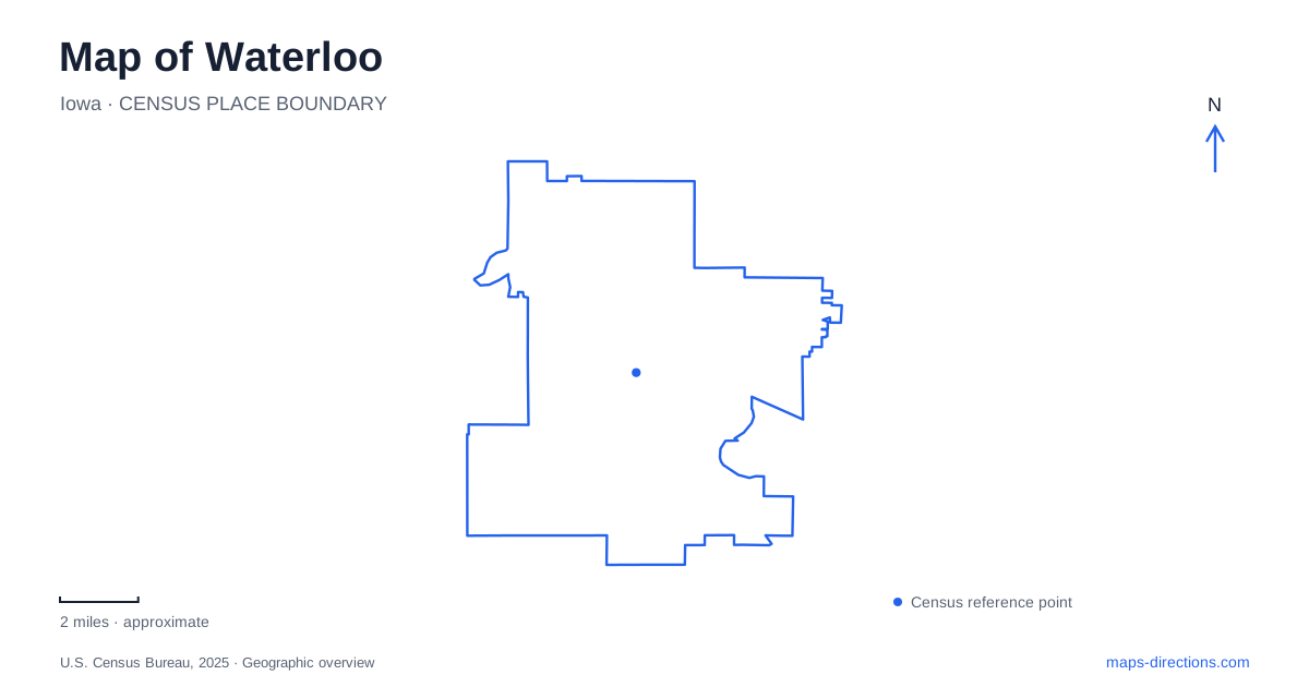
Street tiles load from OpenStreetMap when opened. The blue line shows the 2025 Census boundary.
- State
- Iowa
- Population · July 2025
- 66,919
- Land area
- 61.6 sq mi
- Water area
- 1.8 sq mi
Waterloo has a riverfront geography shaped by industry, public culture and recreation. The Cedar River runs through the downtown landscape, while museum buildings, converted industrial properties and trails provide different ways to understand its edges. South Street, Commercial Street and Westfield Avenue help distinguish several major destinations. Reading those places together reveals a working city whose history extends well beyond a collection of attractions.
The river as a downtown connection
Cedar Valley Lakes Trail and South Riverside Trail pass through the heart of downtown, bringing walkers and cyclists close to museums and other urban destinations. They belong to a regional network that also serves surrounding communities. The riverfront is therefore both a place to spend time and part of a longer journey across the Cedar Valley.
The city's 2023 comprehensive plan describes its Downtown River Renaissance as a sustained effort to reconnect the community with the river. Public investment in the riverfront helped encourage nearby residential and mixed-use development. That planning history explains why a modern map shows recreation, housing and cultural buildings concentrated around water that also supported an industrial landscape. It is a changed urban frontage, rather than simply a park added beyond the city.
Several histories within the Grout district
At 503 South Street, the Grout Museum of History and Science shares its building with the Sullivan Brothers Iowa Veterans Museum. The planetarium is also in this main building. This combination puts regional natural history, astronomy and military experience within one substantial destination, although each subject has its own exhibits and interpretation.
The veterans museum honors Iowans who served from the Civil War onward. Its oral-history work adds individual voices to the objects and displays: the institution has collected veterans' interviews since 2003. For a Waterloo itinerary, this makes the district useful for understanding how local lives intersected with events far beyond the Cedar Valley.
The district also includes the Rensselaer Russell House Museum, an Italianate residence, and Snowden House. These domestic buildings give a different scale to the historical story. A house and its rooms show how a family occupied space; the larger museum organizes collections around wider themes. Their shared institutional name should be read as a group of properties rather than as one building containing everything.
There is an important change to older maps. The Bluedorn Science Imaginarium at its Washington Street address permanently closed after October 4, 2025. The museum operator is integrating hands-on science into the main Grout building. Visitors should use the main museum's current program information instead of treating the former standalone science building as an operating attraction.
Art on Commercial Street
The Waterloo Center for the Arts stands at 225 Commercial Street. Its collections include Midwest art, American decorative arts and international folk art, with significant Mexican and Haitian holdings. This is a cultural focus with a much broader geographic reach than a regional-history museum: the collection connects a river-city setting with artistic traditions across national boundaries.
The same institution includes Phelps Youth Pavilion, a children's museum centered on creative, hands-on experiences. Gallery visits and a pavilion outing have different admission arrangements, so families should distinguish those activities when planning. The address unites them physically, while their programs offer different ways to engage with art. It is a useful companion to a riverfront walk because the downtown trail system brings outdoor movement and cultural stops into the same part of the city.
Reading the industrial landscape
John Deere Tractor and Engine Museum occupies the site of the company's first tractor factory at 500 Westfield Avenue. The Grout district's visitor information distinguishes this museum from production tours at the East Donald Street operations. In Waterloo, the difference between an industrial-history destination and an operating manufacturing facility is particularly meaningful: they tell related stories but serve different kinds of visits.
Agricultural industry also shaped the former Rath Packing area. The company operated beside the Cedar River from 1891 until 1985. Municipal planning subsequently addressed the neighborhood's redevelopment, including a human-services campus and consolidation of public-works facilities. Those changes illustrate why older industrial names remain significant even when a site's present use differs from its historical purpose.
A map of Waterloo can consequently be read through successive layers. The river organizes the broad setting; industrial properties explain important parts of the economy and urban fabric; museums preserve selected stories; and trails provide contemporary movement between downtown places. Keeping these layers together produces a fuller picture than following only highway exits or treating every historic factory label as a public museum.
Map and statistics: U.S. Census Bureau, 2025 Gazetteer, January 2025 generalized place boundaries and Vintage 2025 population estimates. Local references: Travel Iowa; City of Waterloo; Grout Museum District; Waterloo Center for the Arts. Article prepared by Maps & Directions.