Map of Waterbury
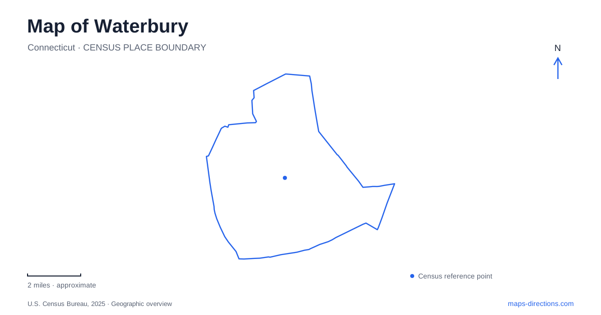
Street tiles load from OpenStreetMap when opened. The blue line shows the 2025 Census boundary.
- State
- Connecticut
- Population · July 2025
- 115,771
- Land area
- 28.6 sq mi
- Water area
- 0.4 sq mi
Waterbury's downtown can be understood through a sequence of public and cultural places: the Green, the Mattatuck Museum on West Main Street, and the theater and university buildings along East Main. These locations show how an older center continues to support new uses. Beyond downtown, Fulton Park introduces a designed landscape from the early twentieth century. The map becomes more informative when the streets are read as connections between different kinds of civic space, rather than only as approaches from the highways.
The Green is the downtown reference point
The Green is the city's oldest park. It began as a low, wet common used for grazing and was drained and converted into a park in the 1820s. That history explains why this open space occupies such a central position: it was part of the settlement's shared landscape before the surrounding commercial and cultural buildings took their present forms.
At 144 West Main Street, the Mattatuck Museum faces this downtown setting. Its focus combines American art with regional history, particularly the Naugatuck Valley and artists associated with Connecticut. The institution began as a historical society in 1877 and moved to its current location in 1987. Its collections therefore offer a useful introduction to the wider valley as well as to the streets immediately outside.
A Waterbury history visit can start with the relationship between park and museum. One is an open space adapted from an early common; the other is a cultural institution occupying a reused building. The museum's home was constructed as a Masonic Temple, with its cornerstone laid in 1912. This makes the building itself part of the downtown story, rather than merely a container for exhibits about other places.
East Main connects performance and education
The Palace Theater stands at 100 East Main Street. Sylvester Z. Poli opened it in 1922, and architect Thomas W. Lamb designed its Renaissance Revival interior and architectural scheme. Early programs combined vaudeville and motion pictures, supported by an orchestra. Its scale reflects the importance of theater-going in the city's early twentieth-century cultural life.
Across the street-number sequence, UConn's main campus building is at 99 East Main Street. The nearby Rectory Building at 118 East Main houses classrooms and student services. Together, these addresses describe an urban campus embedded in existing downtown blocks. Students, theater audiences, and other visitors use overlapping streets, even though their destinations have different operating patterns and purposes.
For Waterbury visitors attending a university event or performance, East Main is consequently a useful district reference, but the specific building still shapes the visit. The university's published campus map identifies its garage entrance on North Elm Street and another garage on Scovill Street. The campus is not a single enclosed property with one approach road; it is a collection of buildings connected through the city.
North Main adds another chapter of building reuse
The university's Neil O'Leary Building occupies the former Odd Fellows Hall at 36 North Main Street. Built in 1895, the six-story Venetian Gothic structure now supports nursing, allied health, and research programs. UConn directs visitors to its Phoenix Avenue entrance. This address extends the educational geography beyond East Main and places another historic building within the campus network.
Comparing the former temple, the theater, and the former lodge hall reveals three different ways older downtown architecture remains useful. The museum interprets art and history, the theater continues to host performances, and the lodge building has become educational space. A Waterbury map centered on these buildings can support an architectural walk with a clear subject: how institutions adapt inherited structures while maintaining a presence in the old center.
Fulton Park changes the scale of the outing
Fulton Park's original southwest entrance is at Cooke and Pine streets. The commemorative boulder there was in place by 1920, and the Olmsted Brothers designed this southern portion first. The park memorializes Lewis Fulton, who died in 1917. Its history belongs to the period when cities invested in landscaped public grounds as part of a broader civic improvement movement.
The entrance paths and the former lily-pond setting show how the design used planting, water, and changing views. The city's historical walking guide compares early plans and photographs with later conditions, making the park particularly suitable for visitors interested in landscape architecture. It is a different experience from tracing building façades along Main Street, with the route unfolding through planted space instead of a commercial street wall.
Waterbury's parks also include Library Park, Hayden Park, Chase Park, and Hamilton Park among the local landscapes credited to the Olmsted Brothers. Fulton provides one focused place to begin exploring that legacy. Combined with the downtown cultural buildings, it offers an itinerary organized around civic investment: shared green space, performance, education, and the preservation of local memory.
Map and statistics: U.S. Census Bureau, 2025 Gazetteer, January 2025 generalized place boundaries and Vintage 2025 population estimates. Local references: City of Waterbury; Mattatuck Museum; Palace Theater; University of Connecticut. Article prepared by Maps & Directions.