Map of Washington
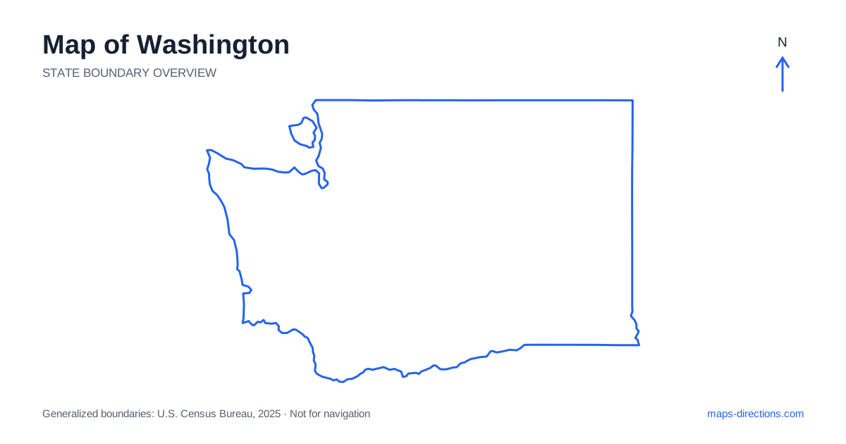
Washington occupies the Pacific Northwest corner of the contiguous United States, with an ocean coast, an intricate inland sound, mountain barriers and a broad eastern interior. Seattle, Tacoma, Olympia and Spokane anchor different parts of that geography. A map centered on the largest city can hide how much of the state lies beyond the Cascades or across the waters of Puget Sound. Start by identifying the correct side of the mountains and the relevant shore or valley before selecting the road corridor that connects the intended destinations.
Separate the western lowlands from the mountain barrier
The Cascade Range divides Washington into western and eastern travel regions with noticeably different landscapes. The western side includes the Puget Sound urban corridor, while the eastern interior contains plateaus, river valleys and agricultural country. Roads cross the range at particular passes rather than forming a continuous grid over the mountains.
A short distance between labels on opposite sides of the range can therefore conceal a substantial drive. Use a terrain view to understand the crossing and choose the actual highway connection before adding smaller stops. A scenic mountain route and a main interstate transfer are different decisions. The map explains where the road goes, while current conditions and access information determine whether it suits the intended date and vehicle.
Read the Puget Sound cities through their water geography
Seattle sits between Puget Sound and Lake Washington, with bridges, shoreline roads and distinct neighborhoods shaping local movement. Tacoma lies farther south, and Olympia, the state capital, occupies another position at the southern end of the sound region. Everett and Bellingham extend the broader western urban corridor northward. These cities should not be merged into one local arrival area.
Interstate 5 provides the principal north-to-south framework through much of this region. It does not remove the need to choose the correct side of a lake, inlet or metropolitan area. A ferry, when included in a route, is a separate transport segment with its own arrangements rather than an ordinary road crossing. Identify the actual terminal or bridge before comparing a destination across the water with one reachable by land alone.
Follow the main connection into the eastern interior
Interstate 90 crosses Washington from the Seattle region through the Cascades and the central interior toward Spokane. Ellensburg and Moses Lake help orient different stages along this broad corridor. The route connects several landscapes, but a destination beside a mountain lake or farther along a valley may require leaving the main highway for a separate local approach.
Spokane is an eastern urban anchor near the Idaho border and has its own metropolitan network. It should not be treated as an outer destination of a Puget Sound city stay. A journey involving both regions needs its long transfer and overnight sequence shown clearly. Choose the precise airport, downtown or suburban address for arrival rather than relying on a general city-center pin to represent the entire eastern urban area.
Give the Olympic Peninsula its own circuit
The Olympic Peninsula lies west of Puget Sound and contains mountain, forest and Pacific coastal landscapes. Port Angeles on the northern side, Forks toward the west and Aberdeen farther south orient different approaches. The mountainous interior does not provide an ordinary road shortcut linking every side, so a trip around the peninsula should follow the actual perimeter corridors and access branches.
Olympic National Park contains separate visitor areas reached from different roads. A pin in the middle of the park does not identify a usable arrival point. Choose the intended coast, valley or mountain access before arranging the route. This makes the distinction between a day excursion from one base and a longer peninsula circuit clear, especially when the plan includes destinations on opposite sides of the interior mountains.
Read the southern river cities and central valleys separately
The Columbia River shapes much of the southern boundary beside Oregon and also bends through the interior. Vancouver on this river is a different city from Vancouver in Canada, a distinction worth keeping clear when selecting a destination. Cross-river trips in the southern metropolitan region need a particular bridge and full address rather than a broad city label alone.
Farther inland, Yakima and the Tri-Cities area occupy different valley and river settings from Spokane or the western sound. Kennewick, Pasco and Richland are connected regionally but still have separate local approaches across rivers and highways. A visit to vineyards, recreation areas or rural accommodation should identify the exact access road. The region's open appearance does not establish a direct crossing at every nearby-looking point along the water.
Build a route around sound, mountains and rivers
A Puget Sound visit, an Olympic Peninsula circuit, a Cascade mountain trip and an eastern-city journey each provide a coherent focus. Combining them creates meaningful transfers and sometimes water crossings. Place overnight bases according to the next day's region, so the route does not repeatedly cross the same mountain range or return around the same inlet.
For a Washington itinerary, keep the selected shore, pass, valley or riverbank attached to every destination. Use the state outline for orientation and detailed maps for the final approach. This makes the contrast between the western water network and eastern inland corridors practical to the plan, producing a sequence of usable connections rather than straight lines across the mountain and water barriers that define the state.