Map of Warren
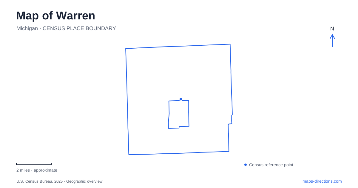
Street tiles load from OpenStreetMap when opened. The blue line shows the 2025 Census boundary.
- State
- Michigan
- Population · July 2025
- 137,138
- Land area
- 34.4 sq mi
- Water area
- 0.1 sq mi
Warren, Michigan is a place where a regular-looking road network can conceal important differences between destinations. City Hall, a community center and a southern civic facility are not one interchangeable location. Large employment properties and recreation sites also occupy enough space that a map pin near their center may be a poor arrival point. The most useful approach is to identify the particular facility first, then read the surrounding major roads and smaller access streets together.
Van Dyke is a corridor, not one destination
Van Dyke provides a strong organizing line for the city. Municipal planning treats it as a development corridor, and the civic facilities along it demonstrate why the full destination name matters. A search for a civic center may return a southern facility rather than the City Hall area. Both results can look plausible on a broad city map, yet they represent different parts of the road.
The municipality's account of Civic Center South places that facility on Van Dyke north of 9 Mile Road. That cross-street reference is useful even without relying on a map application's preferred label. It identifies the southern destination more clearly than the word “civic” alone. When checking an appointment, preserve the location specified by the organizing department instead of assuming that all government services share the same building or campus.
City Square and Arden Avenue serve different purposes
The official City Hall address is One City Square. The city's published council information, however, directs regular council meetings to the community center auditorium at 5460 Arden, described as south of 14 Mile Road and west of Mound Road. This is a particularly practical map distinction: a government meeting can take place somewhere other than the government mailing address shown in a website footer.
For a Warren civic visit, read the event or appointment location before choosing the route. City Square and Arden should be stored as separate destinations. A map search that finds City Hall has not necessarily solved the journey to a meeting. Conversely, finding the community center does not establish that a particular administrative counter is there. The named department's instructions should determine which of these geographic references is relevant.
Halmich Park occupies a long site
The recreation master plan places Halmich Park at 3001 East 13 Mile Road and describes a site extending between 13 Mile and Chicago Road. That shape matters more for arrival planning than simply knowing that the park exists. A long park can contain several activity areas at different distances from its mapped center. The appropriate approach depends on the field, gathering space or other facility being used.
Halmich is one of Warren's large recreation references, with sports grounds, playground areas and picnic facilities documented in the plan. For a team event, use the organizer's field or entrance information alongside the general park address. A central green-area marker does not identify a particular diamond, and the shortest straight line to a field may not correspond to a public entrance. The surrounding roads help orient the site; a detailed park view handles the final movement.
Large campuses change how the grid works
The city's master plan places the City Hall civic space near the General Motors Technical Center and discusses the relationship across Van Dyke. That adjacency is useful geographic context, but it does not make the employment campus a public shortcut. A road grid around a large property should not be extended mentally through the property simply because the opposite edge looks close on the screen.
This is also a reason to distinguish existing geography from development proposals. A master plan can describe a future hotel, walkway or mixed-use center without establishing that any of those elements has been built. For Warren map reading, use the plan to understand the relationship between civic space and the large employment site, while relying on current facility directions for actual entry. Concept drawings are not turn-by-turn instructions.
Drain corridors and proposed trails require a legend
Older recreation planning discusses the Red Run Drain and the engineering challenges of linking recreation destinations across major roads. Such documents are useful evidence that seemingly direct connections can require bridges or underpasses. They should not be read as confirmation that every illustrated trail segment exists. The difference between a proposed connection and a completed public path is essential when planning a walk or bicycle trip.
A Warren overview is therefore most effective when paired with the right detailed map. Use Van Dyke and the numbered mile roads to establish the general area; use the explicit venue address to distinguish civic destinations; use a park or campus map for the final approach. This keeps the regular street pattern helpful without allowing it to obscure the actual entrance, property boundary or intended activity. Current meeting notices and facility instructions supply the operational details that a geographic article cannot freeze in place.
Map and statistics: U.S. Census Bureau, 2025 Gazetteer, January 2025 generalized place boundaries and Vintage 2025 population estimates. Local references: City of Warren. Article prepared by Maps & Directions.