Map of Waltham
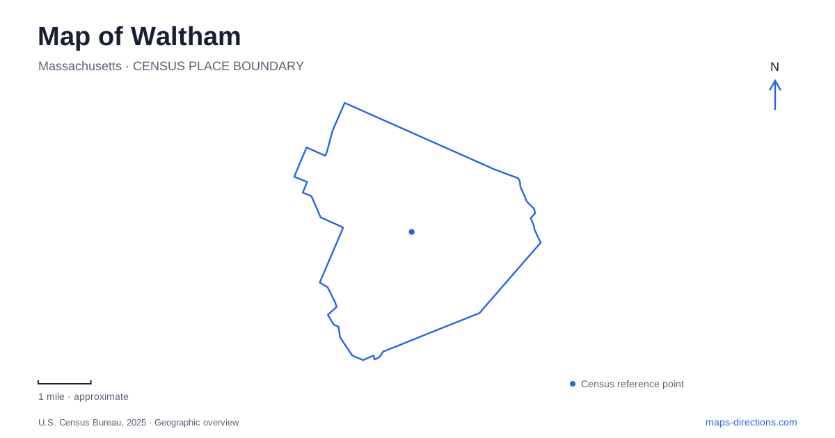
Street tiles load from OpenStreetMap when opened. The blue line shows the 2025 Census boundary.
- State
- Massachusetts
- Population · July 2025
- 65,037
- Land area
- 12.7 sq mi
- Water area
- 1.0 sq mi
Waltham's map places industrial sites and country estates within the same city. Along the Charles River, textile production and watchmaking depended on purpose-built workplaces. Elsewhere, wealthy families created houses, gardens and agricultural landscapes that expressed different relationships with land. Several of those properties now serve public interpretation and recreation. Comparing them reveals a city shaped by both concentrated production and carefully arranged private space.
The Charles River supported an industrial experiment
The Boston Manufacturing Company established its textile operation beside the Charles River in 1814. Francis Cabot Lowell and his associates combined manufacturing processes that had often been separated, creating an influential model for later industrial development. The river supplied the setting and power connection for that enterprise.
The Charles River Museum of Industry and Innovation now interprets this history at the former mill site near the Moody Street dam. Its location matters as much as its exhibits: the museum occupies part of the industrial landscape being discussed, rather than displaying machinery in an unrelated suburban building.
A map centered on the river makes the relationship between water, mill buildings and the surrounding streets easier to understand. The river was a working resource and an organizing feature of the industrial town. The surviving complex records that connection even though the original production system no longer operates there.
Watchmaking developed at a separate riverside site
The enterprise associated with the Waltham Watch Factory moved from Roxbury to land beside the Charles in 1854. Its factory site was separate from the textile mill, although both belong to the broader industrial history of the river corridor. The surviving complex developed over subsequent decades, with wings and courtyards reflecting the scale of production.
This distinction prevents two major industries from being collapsed into a single mill story. Textile manufacturing and watchmaking used different processes and occupied different workplaces. Their shared river setting does not mean that the same building successively housed every important local industry.
The factory's layout is itself historical evidence. A large complex assembled around production needs creates a different urban form from the later residential streets around it. Reading the footprint and the river relationship adds something that a company name or a display of finished watches alone cannot explain.
The Lyman estate preserves a designed rural setting
The Lyman Estate, also called the Vale, began in 1793 when merchant Theodore Lyman acquired land for a country property. Its landscape followed an English naturalistic approach, using open ground, trees and carefully composed views to create a setting that appeared less formal than a geometric garden.
Four generations of the family used the property before the fifth generation donated the remaining estate to Historic New England in 1952. The surviving grounds are smaller than the historic holding, so present boundaries should not be mistaken for the original extent.
For Waltham, the estate provides a counterpoint to the industrial riverfront. Both are constructed landscapes, even though one emphasizes buildings and production while the other presents lawns, planting and scenic composition. The apparent informality of the grounds was a design choice supported by ongoing work and maintenance.
Greenhouses made the estate productive in another way
The Lyman greenhouses form a particularly important part of that landscape. The complex developed over generations, with the fourth and final greenhouse built in 1930. Later restoration helped preserve both the structures and their plant collections.
These buildings reveal the labor and technology behind an ornamental estate. Glass enclosures create controlled growing conditions, extending what can be cultivated beyond the limits of the outdoor season. They connect architecture with horticultural practice rather than serving merely as decorative garden features.
The greenhouse complex and the mansion therefore deserve separate attention on a Waltham estate map. Their different functions explain how the property operated as a collection of working spaces as well as a family residence. The preserved landscape includes the infrastructure of plant care, not just the most prominent house.
Stonehurst and Gore Place tell different estate stories
Stonehurst, the Robert Treat Paine Estate, combines the work of architect Henry Hobson Richardson and landscape architect Frederick Law Olmsted. Completed in 1886, the house and terrace were designed in relation to the surrounding terrain. The city now owns the property, with 109 acres of woodland, meadow and recreational trails.
Gore Place presents an earlier country estate associated with Christopher and Rebecca Gore. Their 1806 mansion is part of a property that also maintains a working farm. Livestock and crops help interpret the agricultural activities that supported such estates, rather than presenting the house as an isolated architectural object.
The estates are separate destinations with distinct histories and stewardship. Together with the mills, they make Waltham a useful place to examine several forms of organized land use: river-powered industry, precision manufacturing, horticultural cultivation, designed scenery and farming. Their surviving buildings and grounds show how those activities occupied different spaces while contributing to the history of the same city.
Map and statistics: U.S. Census Bureau, 2025 Gazetteer, January 2025 generalized place boundaries and Vintage 2025 population estimates. Local references: National Park Service; Charles River Museum; Historic New England; Stonehurst; City of Waltham; Gore Place. Article prepared by Maps & Directions.