Map of Wake Forest
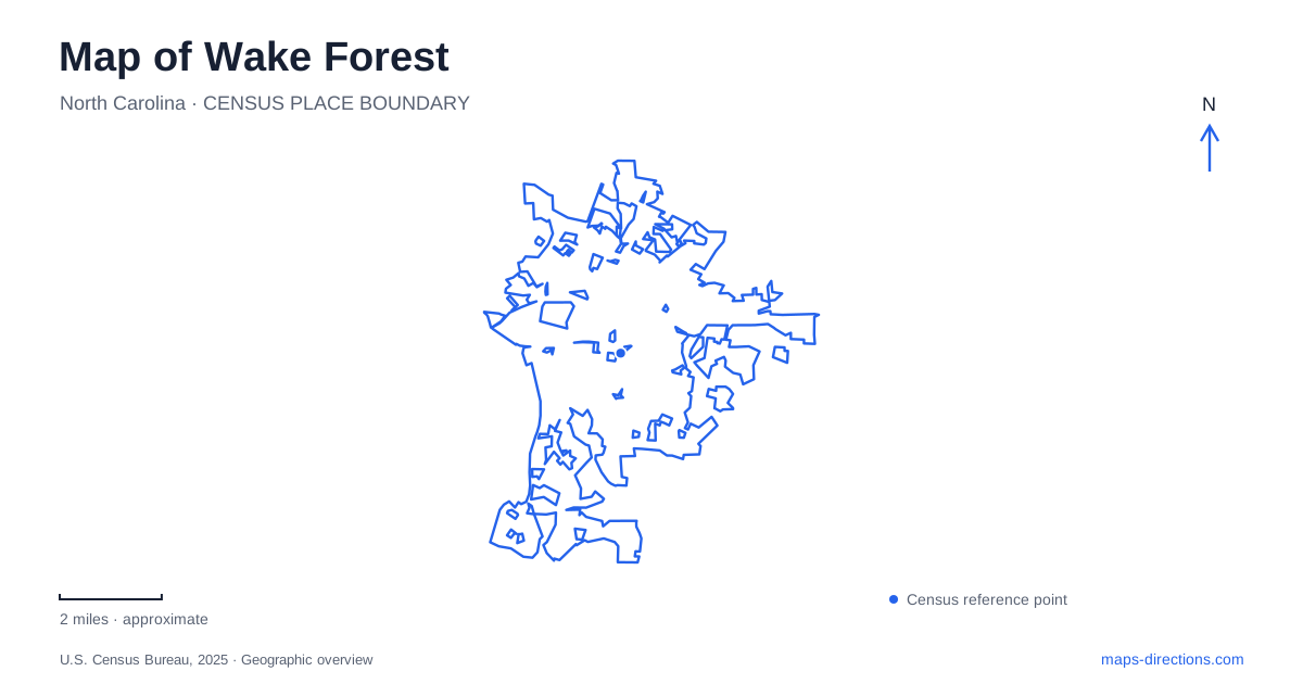
Street tiles load from OpenStreetMap when opened. The blue line shows the 2025 Census boundary.
- State
- North Carolina
- Population · July 2025
- 58,147
- Land area
- 20.0 sq mi
- Water area
- 0.2 sq mi
Wake Forest's historic center grew through the relationship between an educational campus and a railway. North Main Street preserves the residential side of that story, while White Street developed as a commercial corridor east of the tracks. Beyond the center, Joyner Park retains a farm landscape, and Smith Creek Greenway connects the town's southern area with the Neuse River. These places give the map several distinct scales, from individual historic buildings to a regional trail corridor.
The campus and White Street grew together
The town's history begins with the 1832 purchase of Calvin Jones's plantation for an educational institute. The school opened in 1834, and the railroad arrived on the east side of the growing campus in 1840. At first, the depot remained in Forestville, about a mile away, requiring an additional walk for students and faculty.
The depot's relocation in 1874 encouraged commercial development on White Street. The college sold lots east of the tracks for businesses, giving the downtown corridor a close connection to railway access. This helps explain why the campus and shopping streets sit beside one another rather than developing as separate suburban destinations.
The college moved to Winston-Salem in 1956, while Southeastern Baptist Theological Seminary continued on the original campus. For a map of Wake Forest, that is a fundamental distinction: the historic educational landscape remains here, but the university associated with the town's name is elsewhere. The local campus tells the earlier chapter of that institutional history.
North Main Street and the moved house
The Calvin Jones House is at 414 North Main Street. The town identifies the house as dating from about 1820 and explains that it originally stood near the center of what is now the seminary campus. It was later moved to its present location and restored as a house museum.
That relocation creates an interesting map relationship. The house's current address places it within the historic residential district, while its story leads back to the land on which the educational campus began. A visitor can understand the two locations as parts of one history without assuming the building has always occupied its present lot.
The town's historic-preservation guide also identifies the South Brick House at South Avenue and South Main Street as a surviving early campus building. These named corners and addresses make Wake Forest's institutional history visible at street scale. They show how houses, educational buildings, and the commercial district developed around the same original center, with later changes preserving some structures and relocating others.
Joyner Park keeps a farm landscape in public use
E. Carroll Joyner Park is at 701 Harris Road, roughly a mile east of Capital Boulevard. The town describes 117 acres with restored farm buildings, a pecan grove, open lawns, and three miles of paved trails. The park's arrangement combines rural features with spaces designed for contemporary community use.
The amphitheater and smaller performance garden support different scales of gathering. Walker Garden and the long stone ribbon wall add more intimate landscape elements, while the trail network allows visitors to move among the buildings, trees, and open ground. The community center and playground add active facilities to this broader setting.
Joyner Park gives Wake Forest a form of public open space distinct from the compact historic streets. Its interest comes partly from the survival of farm structures and a grove within a larger recreational landscape. A walk can focus on those remnants of earlier land use, or connect them with the gardens and gathering spaces that have been added around them.
Smith Creek reaches the Neuse
Smith Creek Greenway extends south from Burlington Mills Road toward the Neuse River Greenway. The town describes a paved route following the creek through a setting with aquatic and wetland habitat. A pedestrian bridge then crosses the Neuse, creating a connection into the wider regional trail network.
The bridge is 558 feet long, a substantial structure within an otherwise intimate creekside route. Its position marks a change in scale: users move from a smaller tributary corridor to the much broader river and the paths along it. The connection is why this southern section matters beyond its own length.
For an outdoor map of Wake Forest, Burlington Mills Road is the key local reference, while the Neuse supplies the regional one. Trail access can also be made from parking areas connected through the larger greenway system. The town's pages distinguish this existing southern route from planned northward links, so an unbuilt connection should not be assumed. The historical center, farm park, and creek-to-river route each reveal a different relationship between settlement and landscape.
Map and statistics: U.S. Census Bureau, 2025 Gazetteer, January 2025 generalized place boundaries and Vintage 2025 population estimates. Local references: Town of Wake Forest. Article prepared by Maps & Directions.