Map of Visalia
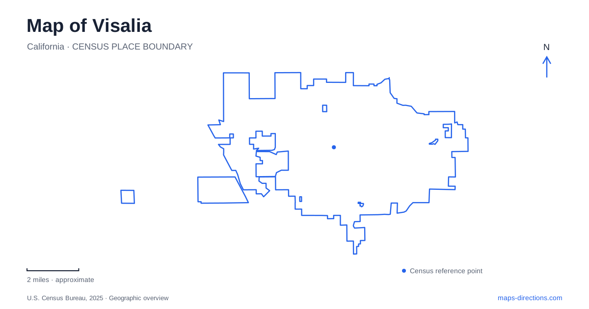
Street tiles load from OpenStreetMap when opened. The blue line shows the 2025 Census boundary.
- State
- California
- Population · July 2025
- 146,541
- Land area
- 40.0 sq mi
- Water area
- 0.0 sq mi
Visalia is a valley city with a mountain destination beyond it. Keeping those two scales separate is the first step toward understanding its map. Downtown buildings, creek-side paths and county museum grounds belong to the local landscape. The giant sequoia groves require a different journey through foothills and winding mountain roads. A useful overview therefore starts with the city's own streets and waterways, then follows Highway 198 east only when the itinerary actually turns toward the national park. The local landscape has enough history and ecological variety to deserve more than a gateway label.
Main Street and the historical core
The Main Street shopping and dining district contains buildings that have continued in use as the city changed around them. The local visitor bureau's historical walking tour connects these structures rather than presenting history as a single enclosed attraction. Its printed tour is available at the visitor center at 112 East Main Street, a practical starting reference for locating the downtown cluster.
The old Palace Hotel and the setting associated with the early fort appear in that historical interpretation. Their relationship to the surrounding blocks is part of the story: lodging, commerce and settlement occupied a compact urban center before later development spread outward. A street map helps connect the named sites, while the historical guide explains what their present appearances do not reveal.
For documentary research, the Annie R. Mitchell History Room is at the county library branch, 200 West Oak Street. Its collections include early directories, photographs and manuscripts. That provides a different way to explore Visalia: compare an old address or photograph with a present street location, while recognizing that a building's use may have changed.
A creek corridor inside the street network
Mill Creek Trail follows a ditch bank through the central city. The municipal facility description identifies eastern and western portions and crossings at Demaree Street and County Center Drive. Those intersections matter because a linear recreation corridor behaves differently from a park with one central lawn. Its relationship to the street grid is visible in the repeated points where roads cross the watercourse.
The city describes more than two and a half miles of trailway, with benches and vehicle-control bollards. This is useful context for interpreting a narrow line on the map: it represents a public recreation route, but the waterway itself is not a road. Examine the particular trail segment and crossing you intend to use. The corridor gives a ground-level view of how drainage and everyday urban movement share space within Visalia, without requiring a journey into the mountains.
A county museum within a park
Mooney Grove contains the Tulare County Museum, but the museum and surrounding park are separately operated. That distinction is especially helpful when a search result groups both under the same destination. The park setting and museum visit are related activities, yet they do not automatically have identical access arrangements or opening calendars.
The museum's collections address the wider county through Yokuts baskets, agricultural equipment and objects associated with later settlement. Its grounds also contain a pioneer village. Together, these features shift the subject from a single downtown street to the communities, labor and land uses of the surrounding valley. An agricultural machine or basket is more informative when understood in that broader geographical context.
Treat Mooney Grove as its own destination area on the city map. Locating the museum within the park avoids confusing an outdoor recreation stop with the particular buildings and collections that prompted the visit.
Oak woodland east of town
Kaweah Oaks Preserve lies east of Visalia, reached from Highway 198 and Road 182. The managing land trust gives its address as 29979 Road 182 and identifies the parking area on the west side of that road. This is a valley-floor oak landscape, distinct from the high-elevation forest often associated with the region.
The preserve protects remnant valley oak riparian woodland. It is also within the traditional territory of Yokuts peoples and continues to support Indigenous gathering and ceremony. Those facts make it more than a convenient patch of green beside a highway. Its trails pass through a living ecological and cultural landscape managed for conservation, education and other compatible uses. Bicycles are not permitted on the preserve's trails, so it should not be treated as an extension of an urban cycling itinerary.
The mountain route changes character
For a trip from Visalia to Sequoia National Park, Highway 198 leads toward the Ash Mountain entrance near Three Rivers. Reaching that entrance does not mean reaching the giant-tree groves. The National Park Service describes a steep, winding climb beyond the foothills and advises drivers of larger vehicles to examine its route restrictions.
Mineral King is another important map distinction: its separate access road does not provide a through route to the rest of the park. Choosing the intended park district before leaving the valley prevents a broad destination label from hiding two very different mountain journeys.
Map and statistics: U.S. Census Bureau, 2025 Gazetteer, January 2025 generalized place boundaries and Vintage 2025 population estimates. Local references: Visit Visalia; City of Visalia; Tulare County Museum; Sequoia Riverlands Trust; National Park Service. Article prepared by Maps & Directions.