Map of Virginia
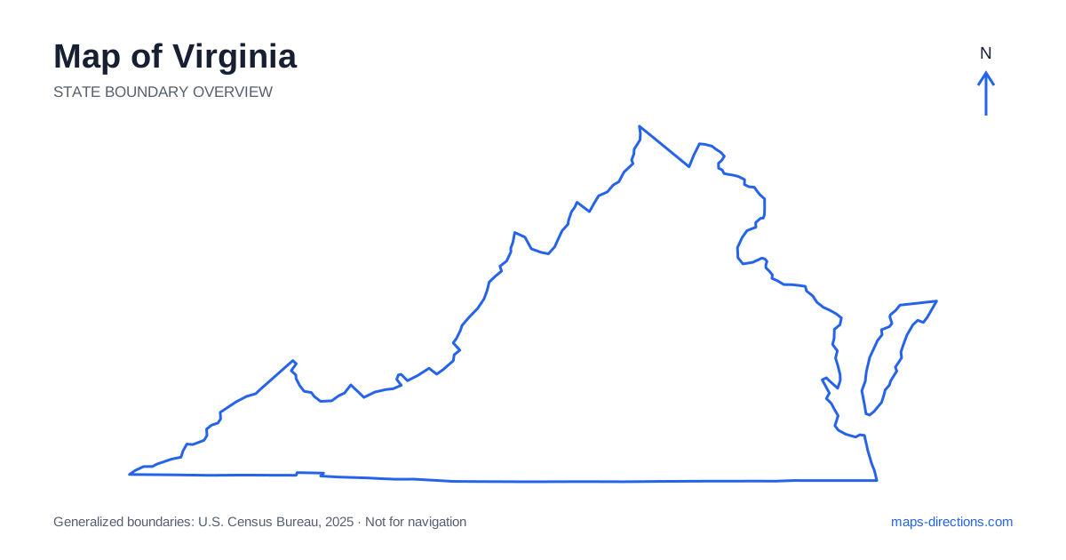
Virginia stretches from the Appalachian southwest to the Chesapeake and Atlantic coast, with several distinct city regions between them. Richmond is the capital, while the northern suburbs, Roanoke area and Hampton Roads have different geographical settings. Virginia Beach occupies the southeastern coastal end rather than representing the entire shoreline. A useful map separates the mountains, Piedmont, river corridors and tidal coast before individual destinations are added. The state's long shape and varied terrain make a single central-looking base a poor substitute for a deliberate sequence of regional stops.
Understand the northern river and metropolitan boundary
Northern Virginia includes Arlington, Alexandria and other communities closely connected with Washington, D.C. The Potomac River separates important parts of the metropolitan area, making the chosen bridge or approach relevant even for destinations that appear close together. A regional capital-area description may cover addresses on different sides of the water and different highway corridors.
Use the full destination address before selecting the route. An airport transfer, a central neighborhood visit and a suburban stay have different practical requirements. For a journey continuing south, the next departure direction also matters when choosing accommodation. The broad metropolitan map establishes the relationship between communities, but a detailed view is needed to identify the correct riverbank, entrance and side of the road network.
Read Hampton Roads through its water crossings
Norfolk, Portsmouth, Chesapeake, Hampton and Newport News occupy different parts of the Hampton Roads region, where tidal rivers and harbor waters divide the road network. Virginia Beach lies farther east toward the Atlantic. These cities form a connected region, but they are not interchangeable arrival points and should not be represented by a single coastal pin.
Bridges and tunnels concentrate movement across the water at particular locations. The destination's side of the harbor can therefore matter more than its straight-line distance from a hotel. Choose the actual venue, waterfront entrance or neighborhood before comparing routes. A stay selected for one city may involve repeated crossings for visits elsewhere in the region, so the overnight base should match the intended sequence rather than just the broad regional name.
Place Richmond and the Piedmont cities
Richmond sits along the James River and is a major junction between north-to-south and east-to-west corridors. Interstate 95 connects the northern approach with Richmond and points south, while Interstate 64 links the capital region with Charlottesville to the west and coastal approaches to the east. These highways supply a framework, not a substitute for the final urban route.
Charlottesville occupies a separate Piedmont setting near the Blue Ridge foothills, while other inland towns have their own local connections. A visit to the capital and a mountain-edge stay should show the transfer explicitly. For rural properties, campuses or historical sites, identify the named entrance rather than the center of the surrounding land. The exact access road can change which approach from the main corridor is most sensible.
Follow the valley west of the Blue Ridge
The Shenandoah Valley lies west of the Blue Ridge and contains a strong north-to-south travel corridor. Winchester, Harrisonburg and Staunton provide useful reference points, while Interstate 81 connects the broader valley network and continues toward the southwestern region. A destination on the eastern side of the mountains may need a particular crossing rather than a direct extension from the valley floor.
A scenic drive along a ridge and a through journey along the interstate serve different purposes. Choose the intended park entrance, overlook or trailhead before incorporating a mountain road into the itinerary. A broad national-park boundary does not identify one universal arrival point. Terrain explains the route's shape, while current road access needs its own check for the intended date.
Give the southwest and Eastern Shore separate identities
The southwestern part of the state includes mountain valleys and communities beyond the central Shenandoah region. Roanoke, Abingdon and the Bristol area orient different stages along the broader corridor. Their shared Appalachian setting does not make them neighboring stops, and a local recreation destination may require leaving the main highway for a distinct valley approach.
At the opposite end, the Eastern Shore occupies the southern portion of the Delmarva Peninsula across Chesapeake Bay. Cape Charles and other shore communities belong to a different regional road pattern from the mainland cities. A journey involving both sides must identify the appropriate bay crossing rather than draw a direct line across the water. Keep the exact town and arrival road visible when arranging a coastal stay.
Connect the regions in a realistic order
A northern metropolitan visit, a Richmond-and-Piedmont trip, a valley-and-mountain itinerary and a Chesapeake coastal stay each provide a coherent starting focus. Combining them creates substantial transitions across the state's long shape. Put overnight stops into that progression before adding optional visits that pull the route back across a mountain range or harbor already crossed.
For a Virginia itinerary, attach the selected riverbank, valley, harbor side or peninsula to every destination. Use the statewide outline for broad orientation and detailed maps for the final approach. This reveals why a short line across water or a ridge can be misleading, and turns the state's varied geography into a practical guide for choosing the roads and crossings that actually connect the planned stops.