Map of Vineland
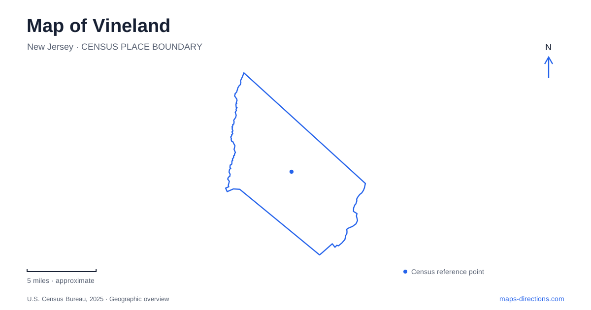
Street tiles load from OpenStreetMap when opened. The blue line shows the 2025 Census boundary.
- State
- New Jersey
- Population · July 2025
- 62,703
- Land area
- 68.4 sq mi
- Water area
- 0.6 sq mi
Vineland has a recognizable downtown along Landis Avenue, but the same avenue continues toward destinations well beyond the central shopping blocks. A useful map separates that downtown corridor from Delsea Drive, the regional highway approaches and the city's dispersed recreation areas. The repeated Landis name also deserves attention: Landis Park is on East Park Avenue, while other parks have addresses on East Landis Avenue. Reading the complete street and facility name is therefore a practical part of finding the right place, not merely an address-book detail.
The Ave is the downtown identity
The downtown improvement district uses The Ave as its name for the center and lists its office at 603 East Landis Avenue. Its Walk The Ave program describes a local loop using Sixth Street, Elmer Street, East Avenue and Wood Street, alongside a longer route on Landis Avenue between East and West Avenues. Those streets offer a concrete way to understand the blocks around the commercial corridor.
For a walk in central Vineland, the loop names reveal that points of interest extend off the main avenue. A plan confined to one street can overlook the surrounding blocks even when they are part of the same outing. Use the district's route information as an orientation aid, then select the specific business or meeting corner. The walking circuit is not a driving loop, and its existence does not eliminate the need to use appropriate street crossings.
Landis Avenue changes its wider road context
The city's road-jurisdiction information distinguishes Route 55, Delsea Drive as Route 47, and Landis Avenue as Route 56 west of Route 55. It also identifies a county-maintained Landis Avenue segment from Main Road toward the Atlantic County line. This is a useful reminder that a continuous familiar street name can coexist with different numbered-road references along its length.
When reviewing an approach to Vineland, retain both the destination address and the portion of the corridor you intend to use. Do not assume that a Route 56 label describes every part of Landis Avenue or that a Delsea Drive address is a downtown address. The numbered highway helps organize the regional trip; the complete local address settles the endpoint. Comparing those two levels can catch a mistaken result before the route is followed.
Landis Park and Giampietro Park are different stops
The municipal parks directory places Landis Park at 500 East Park Avenue. It identifies Veterans Circle as a focal point and lists recreation facilities around it. Giampietro Memorial Park, by contrast, is at 3231 East Landis Avenue and has a lake, conservation area and other park amenities. The similar words in their addresses can be misleading when spoken quickly.
A Vineland outing should preserve that distinction in saved destinations. If the plan is to meet at the lake park, use Giampietro's full name instead of asking for the park on Landis. If the purpose is a memorial visit, locate Veterans Circle within the appropriate park. This is a case where the name of the feature is a better check than the broad green shape visible on the map.
River access and nature trails have their own approaches
West Side Park is listed on West Almond Road beside the Maurice River, with canoe access. Willow Oak Nature Preserve is listed farther along East Landis Avenue, with parking identified on Landis or Maple Avenue. These are different landscapes and different access tasks: reaching a river launch is not the same as choosing the starting point for a woodland walk.
For the preserve, agree on which published parking approach will be used before meeting another person. Two correct arrivals at different entrances can still leave a group separated. For the river, choose the named public access facility rather than a nearby point on the watercourse. A blue river line shows geography, but the park address explains where a visit can actually begin.
A drive-in illustrates why venue directions matter
The Delsea Drive-In publishes 2203 South Delsea Drive and provides its own approach instructions for drivers traveling south on Route 55. The existence of venue-specific guidance is a reason to compare the final approach with the business's current information, rather than treating every navigation result as equally suitable. Preserve South in the address and distinguish the drive-in from downtown entertainment destinations.
The most readable map of Vineland joins the Landis Avenue center, the Delsea Drive corridor, the named parks and their individual access streets. Once those anchors are separated, it becomes easier to combine a downtown stop with a park or evening venue without confusing repeated names. The destination's own address should remain the final reference as the view narrows from regional roads to local streets.
Map and statistics: U.S. Census Bureau, 2025 Gazetteer, January 2025 generalized place boundaries and Vintage 2025 population estimates. Local references: Vineland Downtown Improvement District; City of Vineland; Delsea Drive-In. Article prepared by Maps & Directions.