Map of Victoria
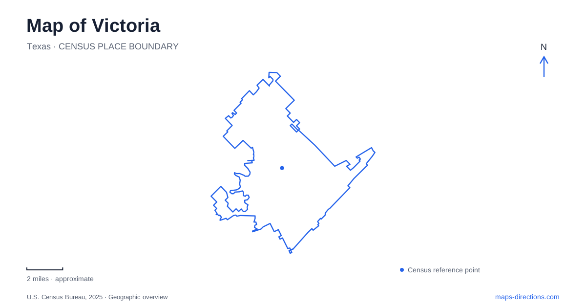
Street tiles load from OpenStreetMap when opened. The blue line shows the 2025 Census boundary.
- State
- Texas
- Population · July 2025
- 66,500
- Land area
- 37.2 sq mi
- Water area
- 0.2 sq mi
Victoria brings together a historic downtown, an extensive Guadalupe River park and a college-campus museum that interprets the wider Coastal Bend. Each tells a different part of the area's story. DeLeon Plaza provides a civic focus, Memorial and McCright drives lead through recreation settings, and East Red River Street connects to an archaeological destination. These references give a more meaningful map than a simple list of highway approaches.
A plaza tied to the founding story
DeLeon Plaza is a central downtown reference in municipal planning. The city's bicentennial commemorated April 13, 1824, when Martín de León received Mexican government approval to establish his colony. That date places the town's origins within the history of Mexican Texas, long before later statehood and the civic buildings visible today.
The plaza's importance lies in this connection between public space and community memory. It provides a setting around which downtown history can be organized, while the surrounding streets hold later chapters of development. A map anchored here can distinguish the founding story from the subsequent architecture of county government and commercial growth.
The 1892 county courthouse is one such later landmark. The county's own history discusses architect J. Riely Gordon's role and the construction program of the period. Its date is useful when interpreting Victoria: the courthouse represents a mature nineteenth-century civic investment, not the original colony's first buildings. Reading dates alongside locations prevents two very different historical periods from collapsing into one generalized “old town.”
A river park with many destinations
Riverside Park extends across roughly 660 acres, with several miles of Guadalupe River frontage. The city lists a boat ramp, golf course, stadium, rose garden, picnic areas, trails and The Texas Zoo among its facilities. That range explains why the park appears as a substantial district rather than a small green square beside downtown.
Memorial Drive and McCright Drive are useful internal references. The zoo publishes its address as 110 Memorial Drive, while the parks department uses 532 McCright Drive. A ballgame, zoo visit and riverside walk all take place within this broad recreation landscape but involve different parts of it. The park map is particularly useful for seeing how the destinations relate to the river and one another.
The city describes woodland as a major element of the park's setting. Its river edge is therefore more than a scenic backdrop: it shapes bends, trails and recreation areas. Grover's Bend, the rose garden and the stadium become useful intermediate landmarks when reading the park's longer outline.
Old channels and nature trails
Athey Nature Sanctuary adds another layer to Victoria's river geography. Texas Parks and Wildlife identifies a trail connection to Riverside Park crossing an old river channel, or resaca. That detail helps explain why the landscape contains water-related depressions and habitat away from the main channel shown on a general map.
The municipal nature-trail map names separate Tonkawa trailheads at Athey West, Athey East and Red River. It also identifies the historic Hiller House at 3003 North Vine Street, with a nature-information deck behind the house. These references give the nature area a more precise structure than a single sanctuary label.
A walk here focuses on woodland and the river's changing physical history. The old channel demonstrates that the present course does not tell the entire story of the floodplain. The state wildlife guide notes birding possibilities around Grover's and Fox's bends, making these named landscape features relevant to both orientation and observation.
Archaeology on a college campus
Museum of the Coastal Bend is at the corner of Ben Jordan and Red River on the Victoria College campus, whose street address is 2200 East Red River. Its location is separate from the river park and the downtown plaza. The museum identifies itself as Building 1 on the campus map and provides visitor parking.
Its collections reach beyond the city itself. The institution is the repository for material from the archaeological site of La Salle's 1680s Fort Saint Louis colony and a later Spanish presidio at the same location. Objects connected with French and Spanish colonists and Native people provide evidence of overlapping histories in the region.
This is an important geographic distinction: the place where archaeological material is preserved and interpreted is not necessarily the place where it was excavated. Exhibits and the public archaeology laboratory make regional history accessible within a modern educational setting. The museum's ranching interpretation adds another subject tied closely to the surrounding Coastal Bend.
A Victoria map can consequently follow civic memory downtown, the physical river landscape in Riverside and Athey, or evidence of earlier regional encounters at the museum. These are complementary routes through place and history, each with its own buildings, roads and scale of inquiry.
Map and statistics: U.S. Census Bureau, 2025 Gazetteer, January 2025 generalized place boundaries and Vintage 2025 population estimates. Local references: Victoria Convention and Visitors Bureau; City of Victoria; Victoria County; The Texas Zoo; Texas Parks and Wildlife; Museum of the Coastal Bend. Article prepared by Maps & Directions.