Map of Vermont
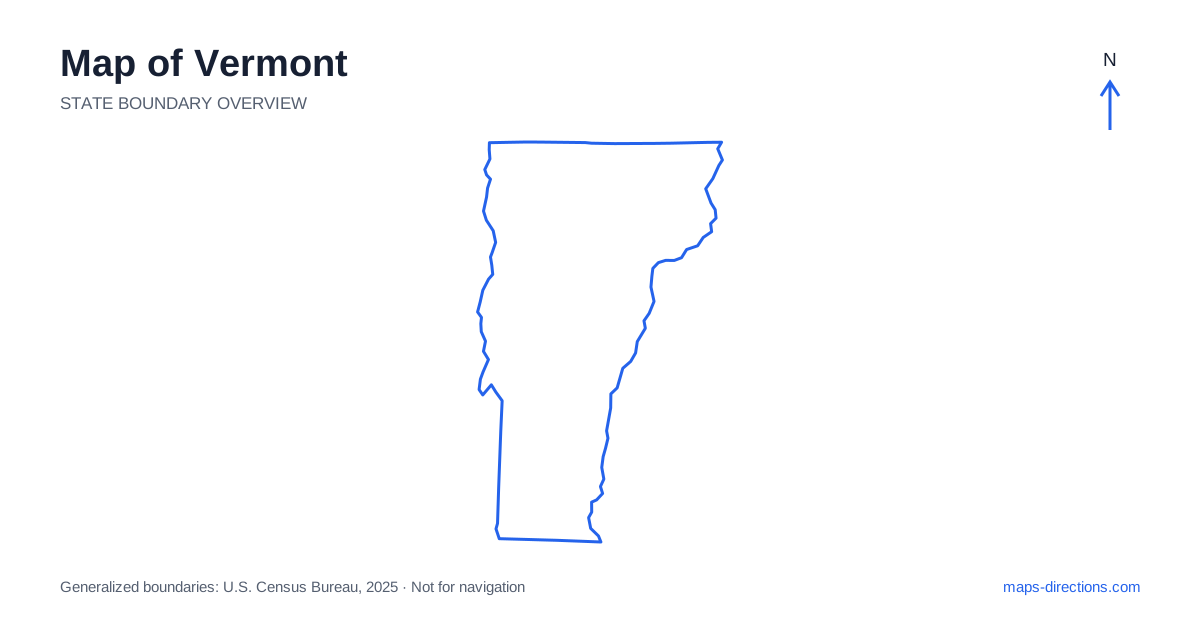
Vermont has a north-to-south shape organized around the Green Mountains, with Lake Champlain along part of the western side and the Connecticut River along the east. Burlington, Montpelier, Rutland and Brattleboro provide useful regional anchors, but they occupy different valleys and road networks. The state may look compact, yet crossing a mountain ridge is a different task from traveling along a valley. Start by locating the destination on the western, central or eastern side before choosing the corridor and the final local approach.
Let the mountain spine explain the road pattern
The Green Mountains run through much of Vermont and influence how roads connect its communities. North-to-south travel often follows valleys or corridors beside the higher terrain, while east-to-west movement relies on particular crossings. A town that appears nearby across a ridge may therefore have a longer road connection than a place farther away in the same valley.
Use a terrain view when deciding whether several stops form a practical loop. A scenic mountain road and a main regional highway have different roles, and a line on the overview does not establish the current suitability of a pass. Choose the actual town or visitor entrance first, then trace the public road serving it. This is more reliable than closing an attractive-looking circuit with an assumed shortcut through the mountains.
Place Burlington beside the lake
Burlington sits on the eastern shore of Lake Champlain and anchors the northwestern urban region. Its airport, downtown waterfront and surrounding communities have different arrival approaches. A stay associated with the city may be inland from the lake, so a detailed address is needed before deciding how it serves the intended visits.
The lake separates the region from New York on the opposite side. Cross-water travel depends on specific bridges or transport connections rather than the shortest visible gap between shores. Keep the chosen crossing explicit if the itinerary includes both sides. A map showing the lake as a broad blue area provides orientation, but the local approach to a terminal, bridge or shoreline destination needs its own road detail.
Follow the capital and eastern interstate corridors
Montpelier, the capital of Vermont, lies in an inland valley and has a different setting from Burlington. Interstate 89 links important parts of the northwestern and central network with White River Junction in the southeast. Interstate 91 follows the eastern side of the state, providing another major north-to-south corridor near the Connecticut River region.
These routes are useful frameworks, but destinations between them may require smaller connecting roads across hills or along valleys. A capital visit should use a precise downtown or facility address rather than a pin placed at the nearest interchange. For an onward trip, consider whether the next stage heads west toward the lake, north into the mountains or south along the eastern corridor. The selected base should support that actual direction.
Distinguish the southern towns and western route
Rutland occupies a south-central valley setting, while Bennington lies farther southwest and Brattleboro near the southeastern border. These towns serve different approaches into the state and should not be treated as one compact southern cluster. US 7 is an important road along the western side, connecting communities through a corridor separate from the eastern interstate network.
A visit that combines western and eastern towns should show the intervening mountain connection. A rural lodging address may sit outside the nearest town center on a smaller valley or hillside road. Identify the final entrance before estimating how it relates to the next stop. The state's small scale can make local detours seem insignificant even when the actual route crosses terrain or returns along part of the same approach.
Give the northeastern region its own base
Northeastern Vermont includes the region commonly called the Northeast Kingdom, with towns, forests and lakes that occupy a different setting from the Burlington corridor. St. Johnsbury and Newport are useful reference points for different parts of this area. A destination beside a lake should be located on its exact shore and road approach rather than described only by the nearest larger town.
The Canadian boundary lies to the north, while the eastern river corridor creates separate local connections toward New Hampshire. A regional map should remain visible when selecting an approach so that surrounding roads are not hidden by a tight crop around the state line. For a recreation visit, distinguish the road arrival from any trail or water segment that follows. The map's feature label alone does not identify the access point.
Use valleys to sequence the journey
A Lake Champlain stay, a central mountain trip, a southern-town circuit and a northeastern lakes visit each provide a coherent focus. Combining them works best when the route progresses through connected valleys rather than repeatedly crossing the mountain spine. Place overnight locations according to the next day's region before filling the plan with optional scenic detours.
For a Vermont itinerary, keep the selected lake shore, riverbank or valley attached to every destination. Use the state outline to understand the north-to-south arrangement and detailed maps to choose the crossing or entrance. That approach makes the Green Mountains a practical part of the plan rather than background scenery, while preserving the distinction between an interstate transfer and the smaller roads connecting the state's individual communities.